|
|
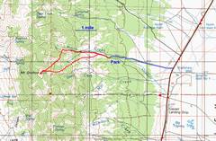
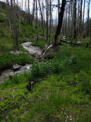
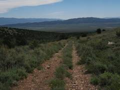
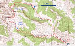
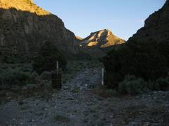
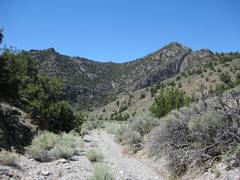
The road to Grafton starts off rte 93, perhaps 15 miles S of the 93 intersection with rte 6. The gravel road is very rough; there was a stream flowing down the middle and the stream had cut a deep gouge that I straddled with the Subaru wheels. I saw a huge doe elk run across the road as I drove in. |
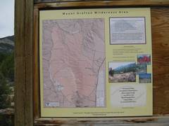
Both Grafton and Notch are in new wilderness areas created in 2006 under G.W. Bush. Because of the wilderness designation, many roads are now blocked; thus the trips are a bit longer. The end of the drivable so the ascent of Grafton (10990’) now requires a minimum of 4170’ of trailless gain. |
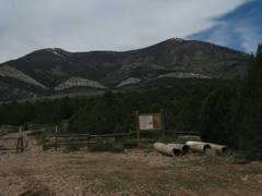
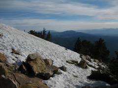
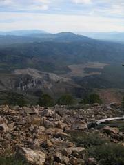
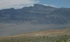
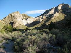
View of Grafton from the wilderness closure area, where I camped. I noticed snow on the top, so I chose a direct approach from the E to avoid carrying crampons, as I was sure the N side would have a lot more snow. Hmmm, more on that later. |
|
|
|
|
|
|
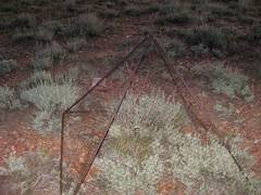
The next morn I hit the trail at 5:05AM. I passed by this structure, apparently intended to keep the critters from nibbling some sensitive species. |
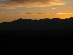
View back E. the sun hasn’t yet risen over |
|
|
|
|
|
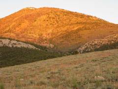
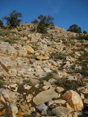
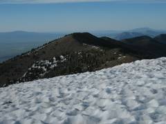
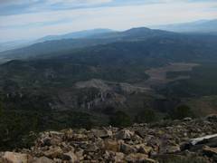
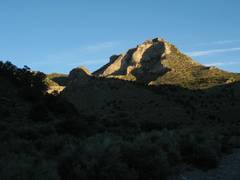
View W; the sun hits Grafton. At this point I thought Grafton would be a big hill; that was a misplaced condescension. |
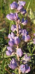
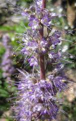
Lupine |
Well, it turned out that this big hill was mainly composed of slick quartzite blocks interwoven with stands of thickly- growing young aspen, the result of a forest fire some decades ago. |
|
|
|
|
|
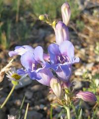
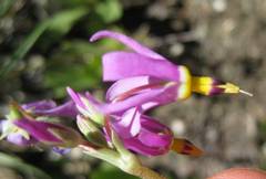
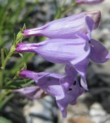
Penstemon |
Looking up at the jumbled quartzite terrain |
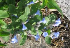
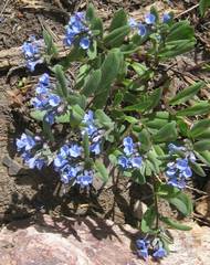
Bluebells |
|
|
|
|
|
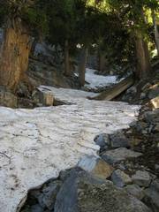
Finally 500’ below the top, I welcomed the snow. I had non-sticky-rubber shoes with little support, and the snow was easier to traverse than was the quartzite. |
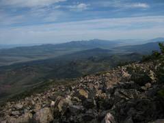
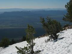
View S. |
|
|
|
|
|
|
|
|
|
|
|
|
|
|
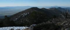
View S. |
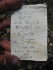
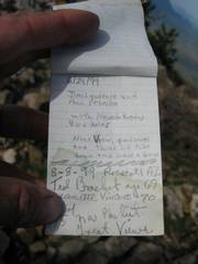
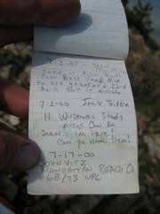
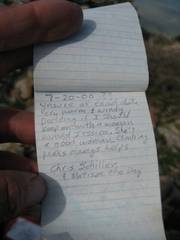
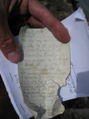
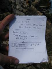
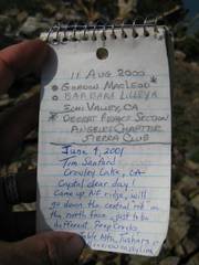
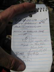
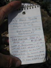
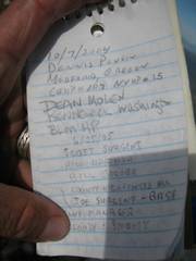
Lots of register pages; skip ahead unless you are a fan of obscurity. |
|
|
|
|
|
|
|
|
|
|
|
|
|
|
|
|
|
|
|
|
|
|
|
|
|
|
|
|
|
|
|
|
|
|
|
|
|
|
|
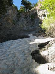
intentionally stayed on snow as much as possible, losing 1000’ on the white stuff. |
|
|
|
|
|
|
More bluebells! |
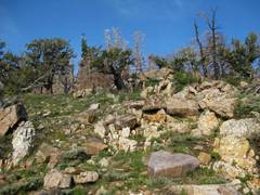
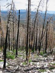
Remnants of a forest fire. |
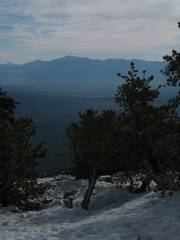
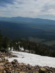
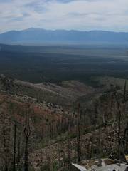
View to Wheeler; I will descend down this valley. |
|
|
|
|
|
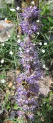
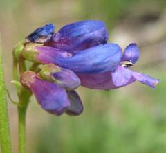
Purple fringe
(thanks to |
|
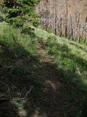
A natural elk trail. |
|
|
|
|
|
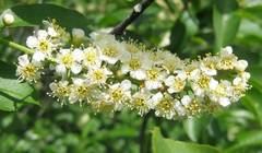
Chokecherry |
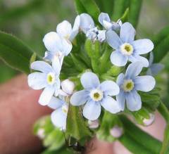
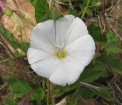
Forget-me-not |
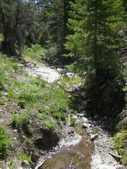
I hit the stream a little too high, and had to wade through many thorny and stinging plants, and jump the stream many times. |
|
|
|
|
|
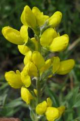
Golden pea |
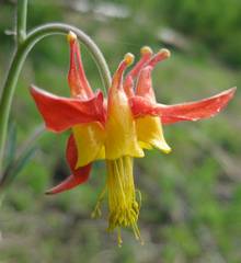
Scarlet columbine |
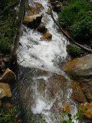
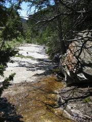
Rushing stream |
|
|
|
|
|
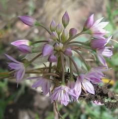
Onion |
Penstemon |
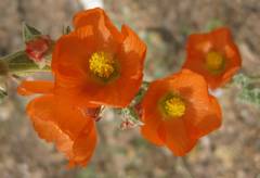
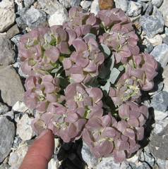
Globe mallows |
|
|
|
|
|
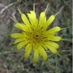
Salsify? |
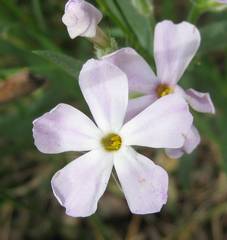
Desert phlox |
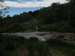
Water rushes across the road. |
|
|
|
|
|
|
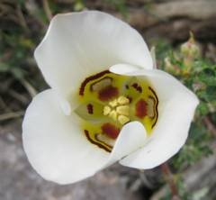
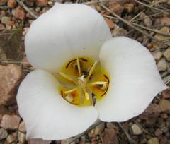
Somewhere between a Sego and a Mariposa lily. |
Ditto. |
|
|
|
|
|
Still looking! |
Back at the car. Now the drive to Notch! |
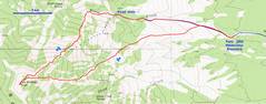
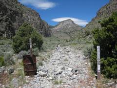
The road to Notch starts about 43 miles east of the NV-UT border on route 6/50. |
|
|
|
|
|
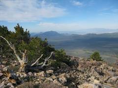
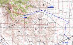
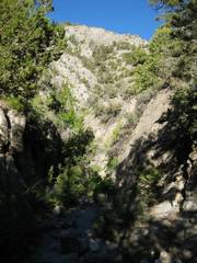
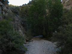
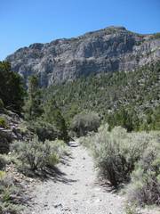
I will go up a vague but pleasant trail in the south canyon, then come down over some iffy terrain to the north. |
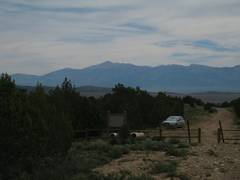
Notch as seen from the W, on the drive E via rte 6/50. |
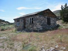
Abandoned cabin. |
|
|
|
|
|
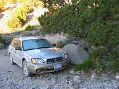
I parked at the 2006 wilderness area boundary, and tried to get as much shade as possible from this little Juniper. |
Next morn, starting W. |
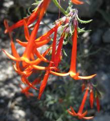
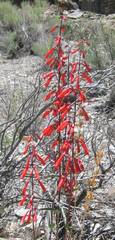
Scarlet gilia; these flowers looked exceptionally healthy compared to our NV equivalents. |
|
|
|
|
|
|
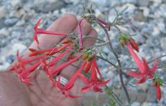
Red penstemons. |
|
|
|
|
|
|
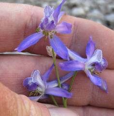
A delphinium, presumably a larkspur. |
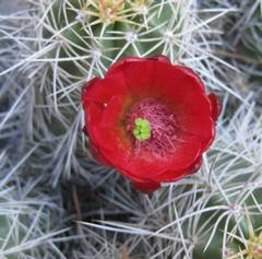
Claret cup. |
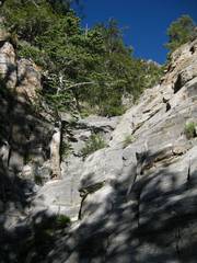
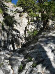
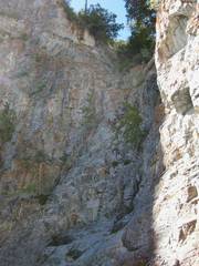
The canyon has some mild dryfalls; where they seem harsh, one can cut to the R around them. |
|
|
|
|
|
|
|
|
|
|
|
|
|
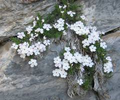
A broader-petalled variety of phlox. |
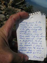
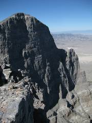
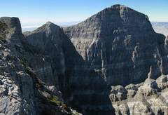
Finally the summit at 9664’! The views are amazing, but hard to grasp from the top of the cliff. So in a bit, I will cross to this lesser summit across the notch. |
|
|
|
|
|
|
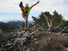
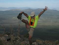
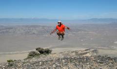
I hadn’t done the mountain jump since my ankle injury, so I was out-of-practice with the timing. It took me 20 jumps to get it right (this is the last) and by then I was so tired that I couldn’t get much elevation. |
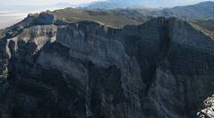
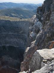
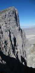
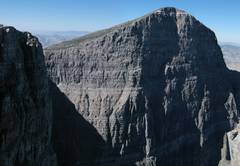
Another view across the gulf. The cliffs are 2700’ high; the 1st 1400’ are dead vertical, and the next drop is only almost as steep. |
|
|
|
|
|
|
|
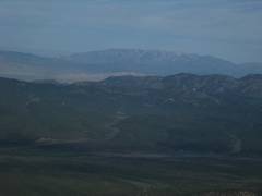
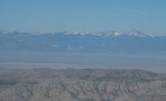
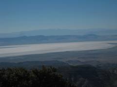
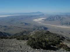
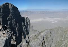
The Sevier salt lake/flats – a remnant of |
Looking back on the lower northern summit. Out-of- order photo. |
|
|
|
|
|
|
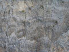
Incredible folding seen in the limestone wall. The Sevier Orogeny did a job on these rocks. |
View back at notch. |
|
|
|
|
|
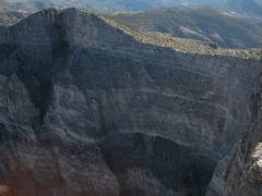
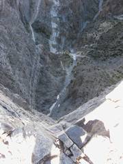
Looking down over 2000’. The gully is very shaded, and snow remains in the bottom on this warm June day. |
Another striking view to SW, over Notch Peak, from the 9424’ peak. |
|
|
|
|
|
|
|
Cusick’s primrose Now I’m descending east from a peaklet near the 9424’’ peak. There was a nasty cliff band, and I thought the worst was over… |
…then I entered a gully, and at 8800’ on this dry desert peak, hit hard snow at 30 to 45 degrees. |
|
|
|
|
|
As if that were not enough, I then had to downclimb on the R side of this very nasty 40’ dryfall. |
Camera is tilted 45 degrees. |
|
|
|
|
|
|
Then I hit a flowing stream. The banks were made of extremely soft, water- saturated clay. |
Shooting start. |
|
|
|
|
|
|
|
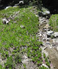
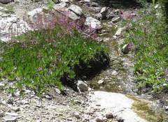
The pink flowers L of the stream are shooting stars. |
Finally a nice dry wash. |
|
|
|
|
|
Scarlet gilia. |
Purple penstemons. |
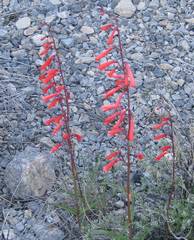
Red penstemons. |
|
|
|
|
|
|
Chamber twinpod. |
Back to the start, now ready for the 370 mile drive home! |
|
|
|
|