|
|
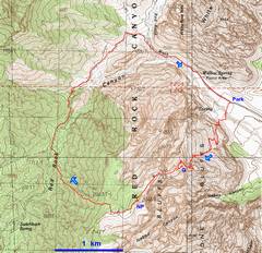
GPS trace. |
The route very quickly gets you up on the ledges… |
…Then travels S over a bench. |
|
|
|
|
|
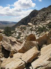
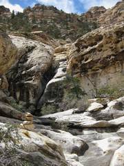
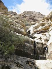
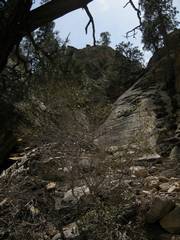
One heads up a wash. This is the ridge L of the peak; the peak is rockier. . |
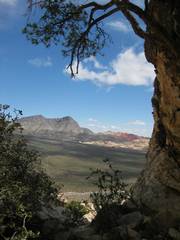
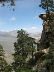
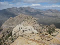
Damsel and Calico in the distance. |
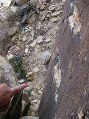
If you stay in the wash, you will have to climb class 4-ish stuff with shallow handholds. |
|
|
|
|
|
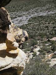
You can go directly up this stuff (as I did), but the cairns lead to an easier route at R. |
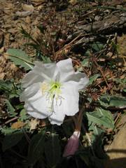
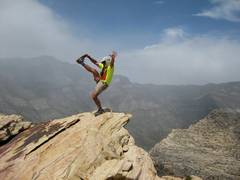
Primrose! |
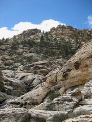
More of the tougher stuff in the wash. The peak is above. |
|
|
|
|
|
Then the route turns L-ish (S) up a gully into Ponderosa. |
|
At the top of the last class 2 gully, the route heads SE then makes a sharp R around the bend… |
|
|
|
|
|
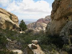
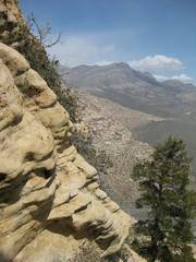
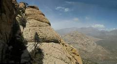
…and skirts the exposed NE face. |
|
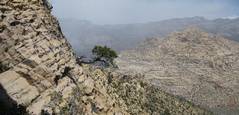
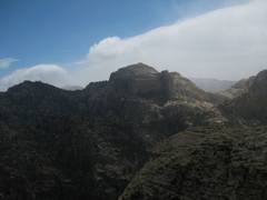
View back SE, from NE face. |
|
|
|
|
|
After a brief traverse, the route climbs rapidly. |
One goes up this beehive sandstone, then cuts L… |
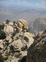
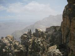
View back SE, over the traverse. |
|
|
|
|
|
|
|
Bridge from Goodman. |
|
|
|
|
|
|
Climbing again, view back at Goodman. |
|
|
|
|
|
|
Now on the plateau,
I approach Bridge at L. |
|
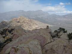
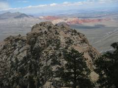
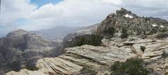
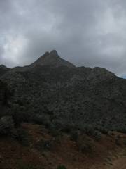
View from N Peak; limestone N Peak is in the distance. |
|
|
|
|
|
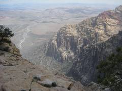
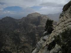
View from N Peak to La Madre. |
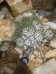
The graupel snow was collecting in the agaves, but otherwise didn’t stick. |
View up at Snoopy as the snow continues. |
|
|
|
|
|
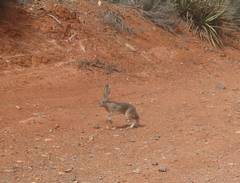
Wildlife on the
Rocky With route-finding confusion, I took 4 hrs to get to N Peak from my car, then 45 minutes to get down! |
|
|
|
|
|
|