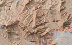
 Map of legal SE gullt route. Start at the equestrian park where Cheyenne becomes Cliff Shadows |
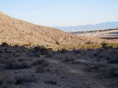
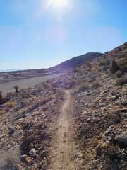 The route heads S on a nice firm bike path that is inside the BLM land. It's a bit obnoxious going by the houses being built, at first |
 But soon the path heads into the old "Little Red Rock" valley |
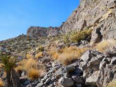
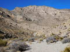 Eventually one leaves the bike path and heads NNW up a major wash. |
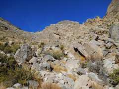 At this point one can either go L (The cliff bands yield a class 2 route) or R |
 I went L until before the cliff, where I headed up class 2 to the summit ridge. |
 I could have waited longer to break through the cliff bands. |
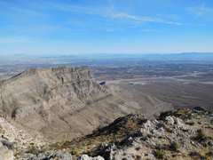
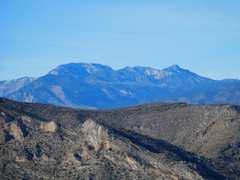 Mummy in distance, with light snow. |
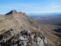
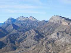 L to R: El Padre, La Madre, Fernande, E La Madre |
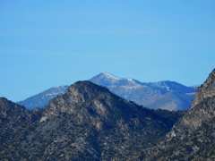 Griffith in distance, with light snow |
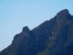 Left is Pincushion Pinnacle, where I have been 3x |
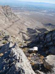
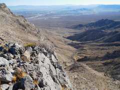
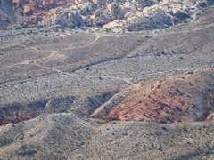 View back to "Little Red Rock" which has been officially off-limits since about 2004 |
 Descending Gottlieb |
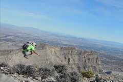 I had to climb down to a shelf below the brush, so my jump is deceptively unimpressive |
 Next I will go to the random peaklet, which I will eventually rename "Little Red Rock Peak" in honor of the name Ed F bestowed on Gottlieb in 2001 (his register was crushed and destroyed by water). |
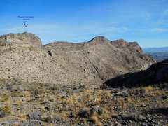
 View of Gottlieb to W, from peaklet, showing my route up |
 View of Woody, from Peaklet |
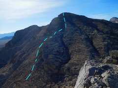
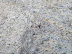
 The SE gully that Ed F used to climb Gottlieb ("Little Red Rock") long ago. |
 Neat cave |
 If you stay on the bike trail; you avoid the obnoxious wash |
|