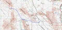
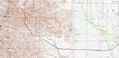
 General map of the area; blue and purple for roads, red for hikes. The blue line starts (on E side) at the Midland Road, which (through name changes) heads south into Blythe, CA. |
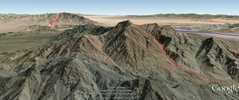 This google earth synthetic shows the view N over Palen to Granite #2, as if you were hovering in a helicopter at 6000'. |
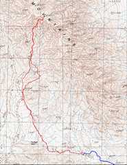 First day was Granite. The right side track for the way in was definitely an "oops!" We were yakking away, and when I finally looked at the GPS... |
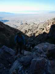 It was a nice trip, but the wind meant my camera was normally under my nylon shirt, so I took few pictures. Here John Ide comes up a canyon on route A. |
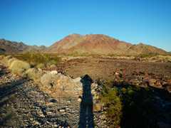
 View S toward Palen. |
 |
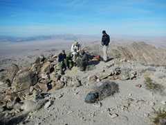
 More folks come up. |
 Usual suspects, with some sad memories. |
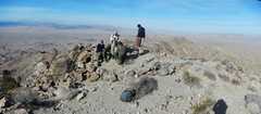
 View sort-of W. |
 This was probably the first time I had gotten to a summit at 9:30AM, and thought, "too late!" We had illusions of doing both peaks in one day, but with illness, parking short of the trailhead, and mutual and universal route-finding goofs, we decided just to climb one peak that day. |
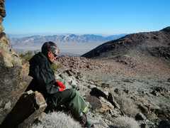
 Let's get outta this wind! |
 |
 It tooks us a while to walk this far. |
 Next day, John Ide and I went for Palen. We parked about 2 miles east of the old DPS "2wd" parking, preferring to walk the extra distance for the hike, than to walk 20 miles out to get tow service, as the road got full of pointy rocks at that point. |
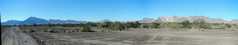
 View of N Palen Massif from near the park spot. |
 John goes up the 1st easy dryfall on DPS C route. |
 |
 |
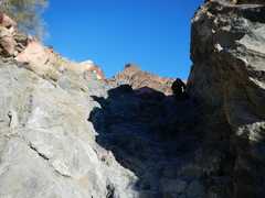
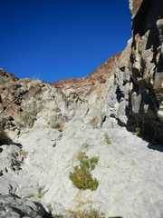
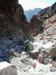
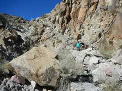
 The canyon was actually quite pretty. |
 |
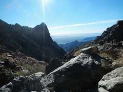 |
 Now we are just 200' below the summit and the cold wind (probably 50 mph, less than 40F) required a change of clothing. |
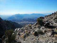
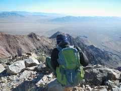
 View N from summit. |
 |
 View ~ E. |
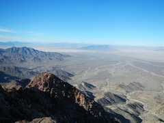
 View S. |
 View ~W. |
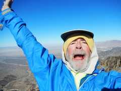 Too windy for my normal pose. Lip is bleeding from catclaw. |
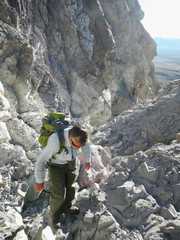
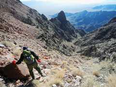
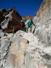
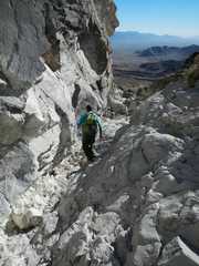
 I can't do justice to this view; you are really looking up. In this and the next shot, John comes down some "class 2." Maybe the cold and wind made it worse, but it seemed more like "easy" class 3. One definitely had to weight the hands in places, and search for holds. We didn't spend a lot of time looking for easier options. |
 I guess we could have cut to the L, but there were few options near the top. We were trying hard to stay out of the wind. It was easy climbing, but the cold rock seemed a little slick. |
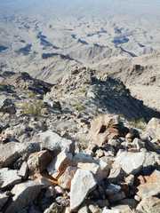
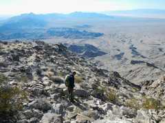
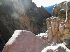
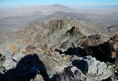
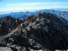
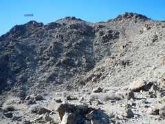 Now I'm looking back at the summit ridge from near 3500'; the far left is the rocky summit block. |
 |
 The canyon was beautiful, when we weren't getting whapped in the face by catclaws. |
 |
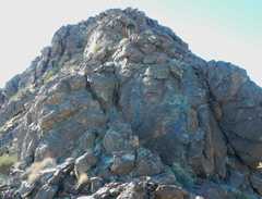
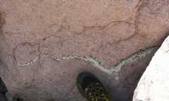 A beautiful vein lined with scattered green crystals. |
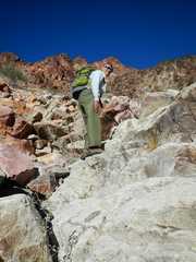
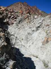 This is the biggest dryfall, easily passed on the W (L) side on the way up. |
 |
 |
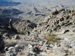
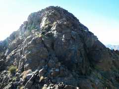
 A look back at the peak |
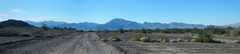 Some terrain shots on the drive out... |
 |
|