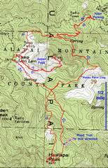
pics by Harlan W. S. The delightful Hualapai Mountain Park
is the starting point of this hike. You will get a map at the fee booth for the
park; however, the map is slightly inaccurate for the hiking trail to the top
of |
|
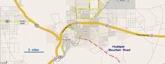
Directions from
Vegas: Take us93 south through |
There are storm shelters, picnic tables and outhouses along the Potato Patch Loop. I chose to bushwhack directly up Hualapai, but there is a series of old roads that will get you to within 200 vertical feet of the summit. The last road switchback passes a large cairn; at this point, turn left and take a use trail to the summit. The actual summit requires one class3/4 move. |
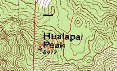
This detail shows the last bit of road and the use trail. |
|
|
|
|
|
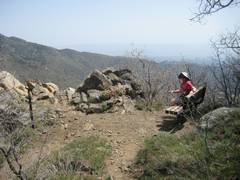
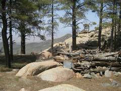
East on Potato Patch Loop, early in the hike. |
|
|
|
|
|
|
|
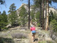
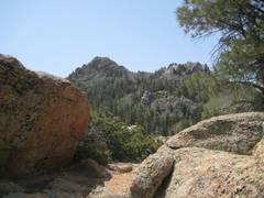
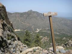
1st view
of |
|
|
|
|
|
|
|
|
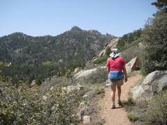
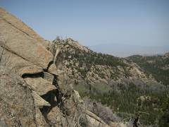
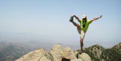
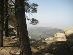
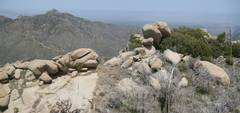
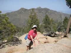
Near summit of
Hualapai, ascent. |
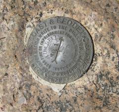
The witness benchmark on the true summit. |
|
|
|
|
|
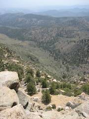
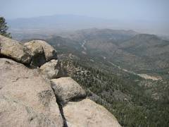
View SE from summit. That’s the road below! |
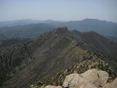
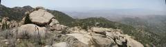
View S from
Hualapai summit. The day was hazy,
supposedly from fires in |
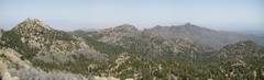
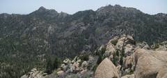
Panorama roughly N from summit, with Hayden Peak at L, Aspen Peak in Middle, and Dean Peak ridge to R. |
|
|
|
|
|
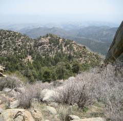
View SE down use trail gully. |
Blurry shot near summit of Hualapai. A ladybug flew in front of the lens just as the camera was focusing. |
As I was climbing |
|
|
|
|
|
|
|
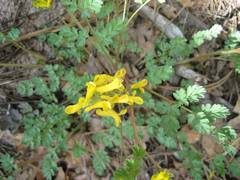
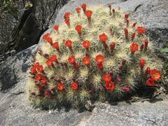
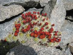
Claret cups. |
|
|
|
|
|
|
Just below the summit is a camp area with this slightly humorous sign. |
View roughly N from
|
|
|
|
|
|
View roughly S from
|
View ~E from |
|
|
|
|
|
|
|
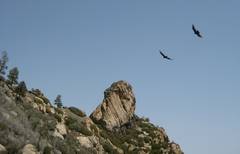
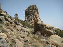
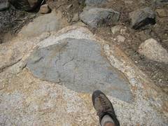
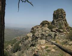
More-mafic stope block in granite. |
|
|
|
|
|
|
Crude shelters
below top of |
|
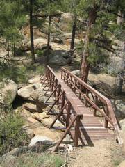
A bridge takes one across this gully, back to Potato Patch Loop. |
|
|
|
|
|
Back on Potato Patch Loop, Dean Pk. in back. |
|
|
|
|
|
|