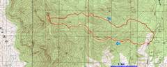
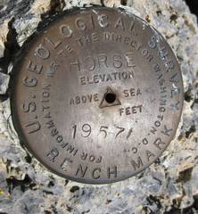
Horse
Benchmark 8491'
This very obscure peak offered a surprisingly nice,
mellow hike and some nice rock near the top.
The access point is ~13 miles up the CP e-mailed me for a hike to “someplace new”
that would take a half-day. Knowing CP’s antipathy for repeated
ascents, I suggested this obscure place.
He bit. To avoid the worst heat
(it was ~105 in Vegas), we got there at 8AM; the starting point is only at ~6000’ pics by Harlan W. S. |
|
|
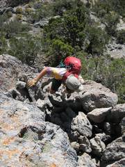
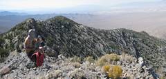
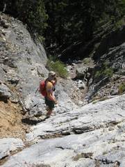
First photo! the ascent route gave some needless but fun class 3. |
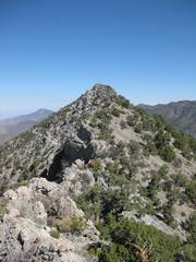
I walked up on the southern quasi-kinife edge, thinking I’d get great pics of CP on something similar. Alas, the true northern peak was mellower. |
|
|
|
|
|
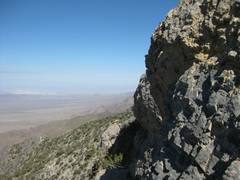
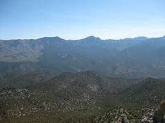
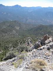
View NW |
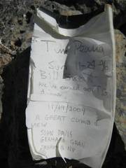
The register was actually placed by MacLeod and Lilley in 1984. |
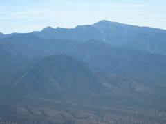
Macks in middle horizon, Bonanza to L, Mummy to R. |
|
|
|
|
|
|
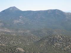
Wheeler. |
View SE. |
|
|
|
|
|
|
|
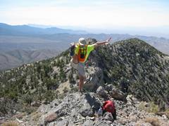
We start down. |
|
|
|
|
|
The upper descent is steep; we lost 1150’ in 15 minutes. |
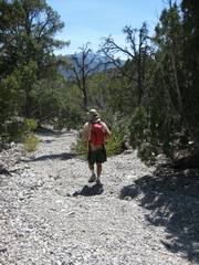
The lower wash is mainly flat, open gravel. |
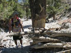
Man-made structure. |
|
|
|
|
|
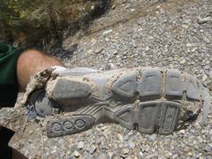
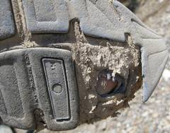
CP’s right shoe. Guess how old these shoes were? The only thing between his heel and the ground is his orthotic. |
Yep, that’s a toe. |
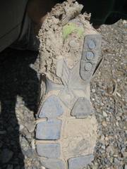
Left shoe. |
|
|
|
|