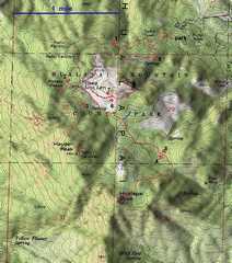
 Top map. Red track is the Oct 13, 2012 trip with the LVMC. The blue track is from my 2008 trip up Hualapai and Aspen. The segments of the LVMC trip are numbered 1-8. Leg 1 is a rough (closed) road, and is actually easier than the trail. |
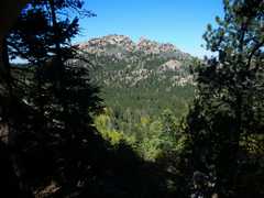
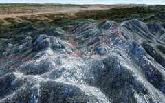 View SW down valley between Aspen Peak (L) and Hualapai and Hayden (R) (Google Earth) |
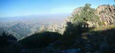
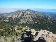
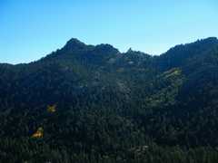
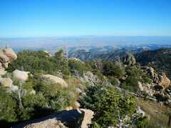
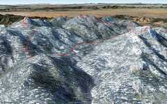 View W, Hualapai on L, Hayden at mid, Aspen Peak at R. |
 We started on the road around to Hayden, rather than the trail; the road is actually shorter and easier. Seema stayed behind from illness, but quickly recovered and was just behind us for much of day. |
 We stopped at Yucca/ Dinosaur Rock viewpoint on Hayden. The Hayden "trails" don't go to the top of the peak; one must bushwhack through thorn bushes and up lichen-covered rock to get to the peak. |
 |
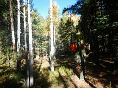
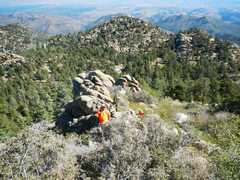
 On the bushwhack. |
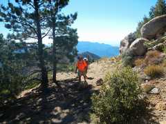
 Joel and Anji edge around rocks on one part of the bushwhack. |
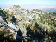
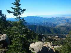 View S to Wabayuma Peak. |
 More bushwhack around the W side of Hayden. |
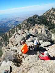
 There is much junk on the S peaklet of Hayden. |
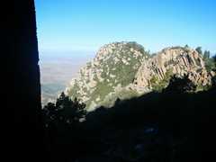
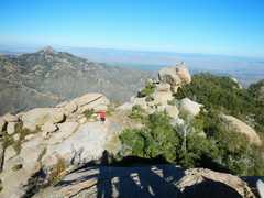
 View of Hualapai Peak to S, from Hayden. |
 View of Aspen Peak and Dean (beyond), view E from N peaklet of Hayden. The road just S of the trail is a much more direct way to the peak top. |
 View of Aspen Peak from descent of Hayden. |
 We took the circuitous road up to the base of the Hualapai summit block (rather than repeat my 2008 routes). |
 We took the gully on the E side of Hualapai. Joel below. |
 |
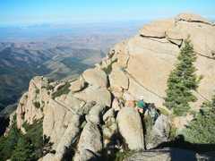
 The last 6-7' of summit block is tricky. I climbed up the most direct route, Joel followed me, then Anji and Val found a way to creep around the N side on narrow, lichen-covered ledges. I hopped to the boulder to W, took this photo, then Joel and I spotted on the down-climb. |
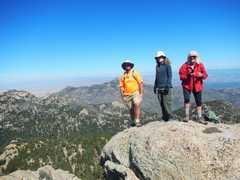
 Joel, Anjii and Val, view N to Hayden. |
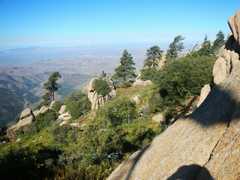
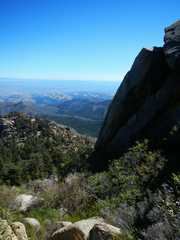
 View S. Wabayuma on skyline. |
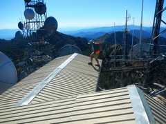
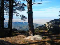
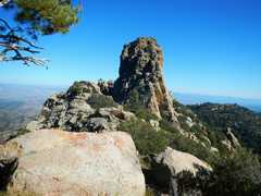 Net we head up Aspen. This tower is near the end of the maintained trail, near DEan Peak View. After this, one heads up a use trail. |
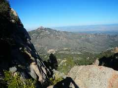 |
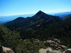
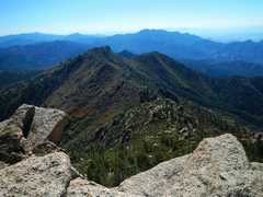
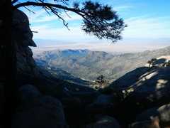
 View of Hualapai. One can see the roughness of the ridge to Hayden (at R), not apparent on the maps. |
 |
 View SE from summit. |
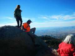
 Anji, Joel and I are on the true summit block; this block has a slightly creepy stretch... |
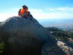 ...The creepy stretch has a 1' gap on the E side of a steeply-sloped, lichen-covered block; you have to step across the gap (which is 10' deep) and scramble up the last steep pitch. |
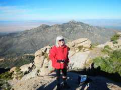 Val with Dean Peak in back. |
 Joel creeps down the last bit. |
 Convenient road sign. |
 |
 Hualapi in distance on way down. |
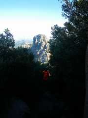
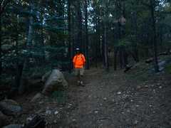 Joel's subtly-colored shirt. |