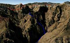
 The blue track is the route up Ice Box Peak, as seen from the NNE (i.e. looking SSW) in this Google Earth synthetic, no vertical exaggeration. The red is a route over Bridge Mt;. |
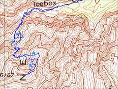 The same blue track on the topo map. At the end of the page is a discussion about the prominence of this peak. Note the 6167' checkpoint is not where the register box is located. |
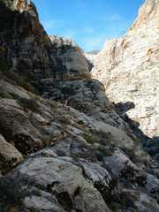
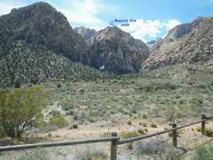 We're at the Ice Box Canyon parking, looking SE-ESE toward the east end of Ice Box Peak. The actual peak is beyond the visible point. |
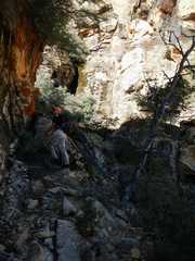
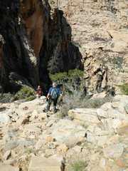
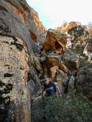
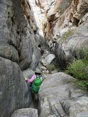
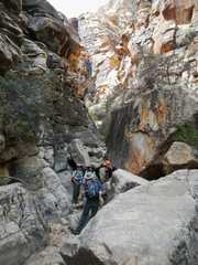
 One climbs out of the canyon on the S side, across from a very large boulder. |
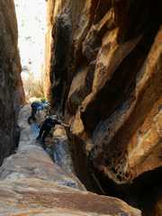 |
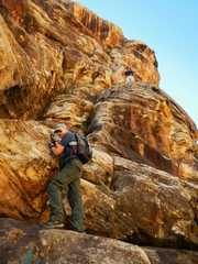
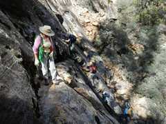
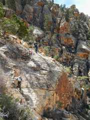
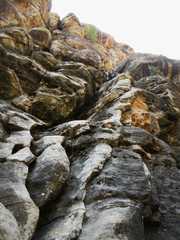
 The climb is difficult; there are 3 points where it is hard class 4. Currently there are two fixed lines; one can avoid the upper line by traversing L about 50 feet below, a move that requires one reach for a hidden handhold on the L side, behind a vertical ledge. |
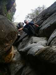
 Above the initial crack system, one heads SW to a less-sloped area. One cairned route goes sharp L and avoids the first steep, mossy ramp; or one can go directly up the ramp. |
 |
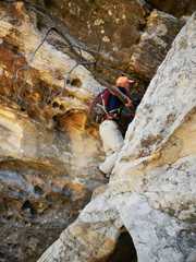
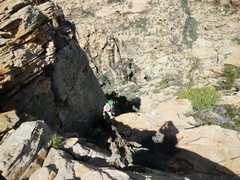
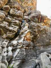
 The 2nd ramp is handled in a zig-zag fashion. |
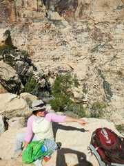
 View to La Madre, on summit ridge. |
 |
 |
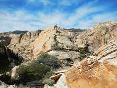 View WSW to summit. |
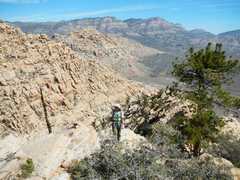
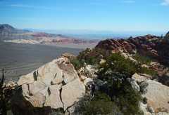 View toward ridge for Holiday "Peak." |
 |
 |
 |
 |
 |
 |
 Courtesy of Candace. |
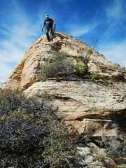
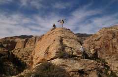
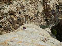
 On summit ridge. |
 |
 |
 |
 |
 |
 |
 |
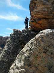
 Bare rock above (and L of) crack system. |
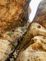
 About 1/4 way down crack system, back to 1st handline. |
 |
 |
 |
 |
 |
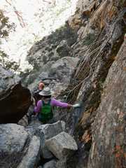
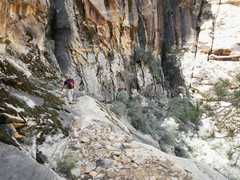
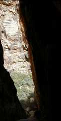
 Almost back at the canyon. |
 |
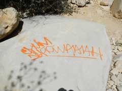 Unfortunately, there is a lot of graffiti in this popular canyon. |
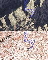 | The aerial photo (top, L) and topo map (bottom, L) for the peak. The elevation 6167' was very likely determined just by photogrammetry, and is on a bouldery area that appears slightly lower than the "peak" indicated by Hiking Las Vegas (i.e. the place of the register and cairn). GPS check gave 6170 +/- 10' for the elevation of the register box. The prominence of the peak is a bit problematic. The line connecting the low points W of the peak, on the photo and topo, is shown in red; the analogous line connecting the peaks is shown in black. Note there is a change in maps from English units to metric, between the two lines; the topo map at R is somewhat older, and uses feet, while the map at L is metric, and is a provisional map that had no optical elevation checks. The elevation of the low point corresponds to ~5987', giving ~180' of proominence; however, the low point is on the provisional map, above a cliff with shadows, and these conditions are notorious for screwing up photogrammetry, so the low point may be higher than indicated on the map. |
|