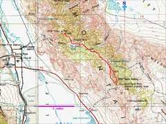
 The route, on a 250k map. I started at lower R, went up over Pleasant Point (unnamed 9690'), went NW to NY Butte, then came back, cutting down the western slope to see the "crux" part of the road. |
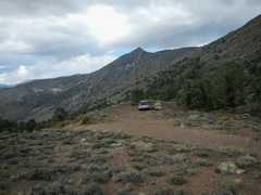 My campsite; view N to the lower end of Pleasant Point (not the summit). |
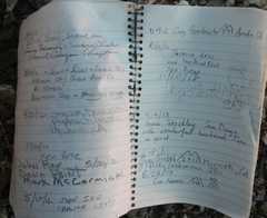
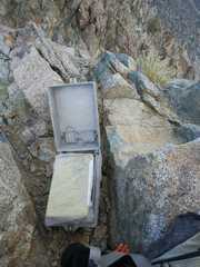
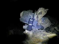 I came across this hand-held radio; it's the type the USFS and NPS often use. There had been a search and rescue in the area, perhaps it was dropped then. |
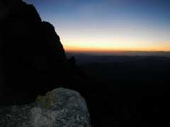
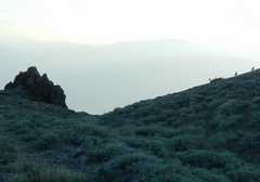
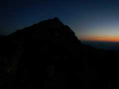 View N to southern peak of Pleasant Point, near 6AM. The eastern sky begins to lighten. There was little moon, so it was not a really easy hike. |
 |
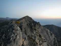 I climbed up on a knife edge, only to realize that Pleasant Point was farther N, and separated by some cliffy drops. This photo is overexposed; it was actually quite dark. |
 |
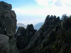
 The sun rises, and lights up the peak to the S... |
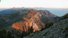 ...and the cliffs to the N. |
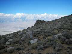
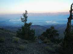 View W across the Owens Valley, over Keeler. |
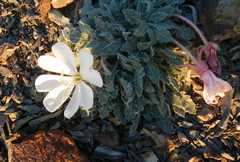 Primrose. |
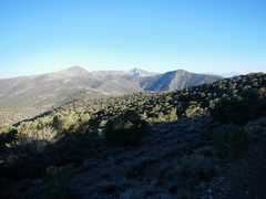
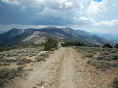
 View N. I will eventually go to the peak at L in distance. |
 |
 Two bighorns run off at R. |
 By starting early, I managed to stay in the shade of hills most of the day, or in the shade of trees along the route. |
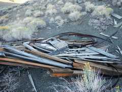
 The salt tram. A century ago, salts were hauled from the Saline Valley on the E side of the Inyo Mountains, over to the Owens Valley side (W). Soon one drops past the tram, down to 8500'. The ups downs on the ridge are many, and explain why the accumulated gain comes in at 6500'. |
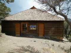
 Salt Tram cabin. Sierra in back, |
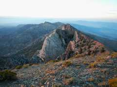
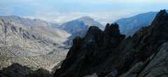
 View back down to Pleasant Point. Boy that seems a long ways off. |
 View SSE to Burgess Mine cabin. |
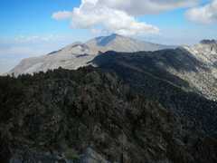
 The Sierra Crest is in the back at L; by now storm clouds were brewing. |
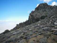 |
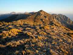
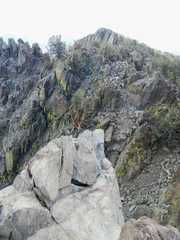
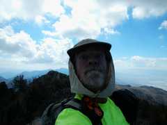
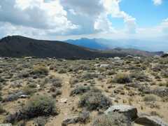
 Finally, near the top of NY Butte. While the W side is gentle (comparatively!) the E side is rocky and wild. |
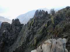
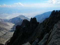
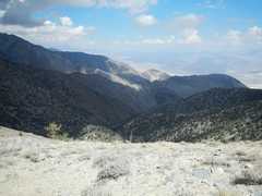
 View N from summit, across chasm. |
 View SE. |
 View N to Keynot. |
 |
 |
 |
 |
 |
 |
 Now I head back S toward Pleasant Point. Thunderheads form. Suddenly my heels seemed quite sore, and I had to stop for a major tape job on my feet. |
 View SW. |
 Uh-Oh more cloiuds. Actually I was hoping for cloud cover... just not electrocution. |
 Salt Tram cabin. |
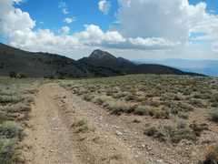 Pleasant Point to SW. Still seems far away. |
 About to drop 1600' to low point on road (7500'). |
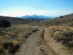
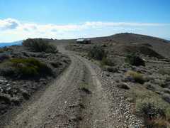
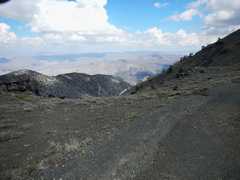
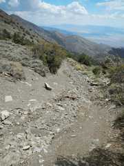 No picture can capture the bad condition of the road. |
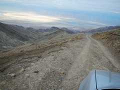 Next day, view as I drove W down the Cerro Gordo Road to Keeler. The August rains had even created some washouts on this normally graded road. |