|
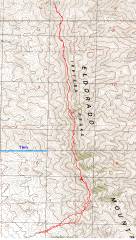
GPS trace on the 1984 "provisional" topo. |
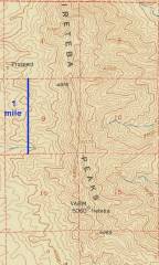
The older topo, with elevations apparently based on field optical surveys. (Thanks to Keck library for older maps.) |
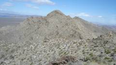
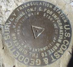
At 11 AM. View N of Ireteba benchmark peak. |
|
|
|
|
|
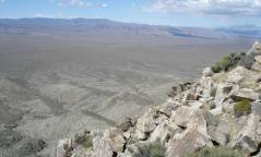
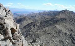
View WNW, to McCullough and Castle Peak NV. |
|
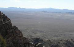
View S over Bard, to Spirit Mt. |
|
|
|
|
|
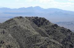
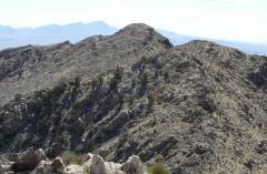
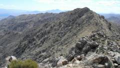
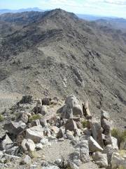
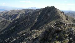
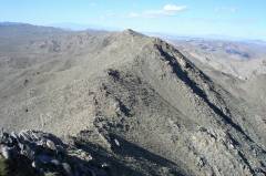
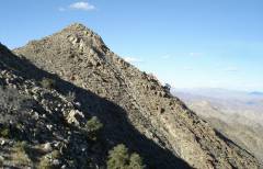
View N to next peak. |
|
Looking back S at benchmark peak, over pinyon pines. |
|
|
|
|
|
Looking back S over second peak. |
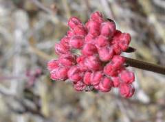
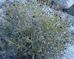
I think this is a buckwheat. |
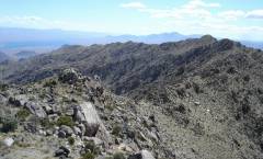
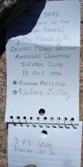
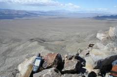
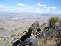
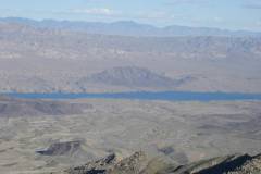
On the "old" 5072' peak, view S. Lake Mojave to left (E). |
|
|
|
|
|
This peak gets little traffic! |
View NNW; gps at 5064', stable within +/-1 '. |
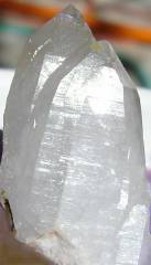
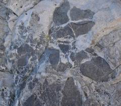
Quartz crystals. |
|
|
|
|
|
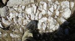
Quartz vein. |
Back S from next peak. |
Gneiss view east. |
|
|
|
|
|
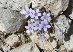
Eriastrum? |
On north-most peak, view WNW over Castle Peaks. |
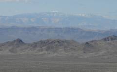
View NNW to Charleston and Red Rock. |
|
|
|
|
|
|
View NNE. My left hand points to Wilson, AZ. |
View back S over lumps. |
|
|
|
|
|
Now I reverse my trip. |
Possible stope blocks of mafic rock in granitic rocks. |
Heading S. |
|
|
|
|
|
SW to NY Mts. (?) and Clark. |
|
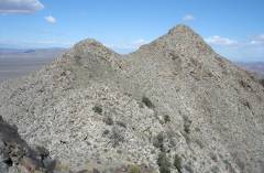
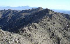
Looking back N. The northern-most peak doesn't look like much from here, in part because the gap before it is hidden. |
|
|
|
|
|
View S. |
View S. |
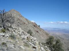
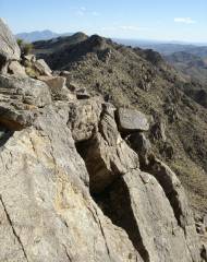
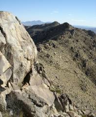
The ridge is not that easy to traverse in this middle portion; view S |
|
|
|
|
|
Turpentine broom. |
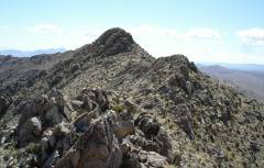
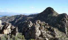
View N at 2nd high lump. |
View E. That's Fire Mt., believe it or not. |
|
|
|
|