 My exchange 4 days before my life changed. Note the date. A brain surgery took place in the intervening 11 months. http://hwstock.org/PT_my_story.pdf PT is "pulsatile tinnitus." |
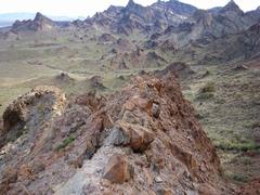
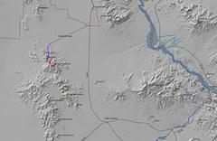 General map of the area. The Turtle Mt Road is 2wd (maybe HC) for the first 11 miles in. Report on Carson's will follow. |
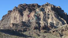
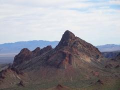
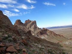
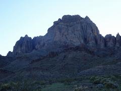
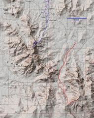 Closer view... |
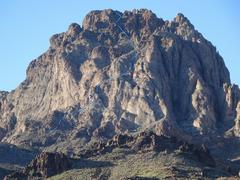
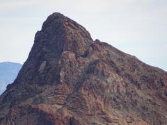
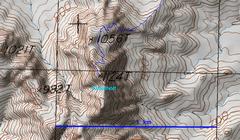 ...still closer on Kebalholt. |
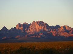 The previous night I had camped 5.5 miles from us95, at a line of palo verde shrubs. This was the view of Kelbaholt the next morn... |
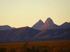 ...and Mopah and Umpah. |
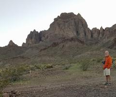
 Kebalholt as seen from our next camp spot W of Carson Wells. The indicated route is my best guess; at the "?" I'm not exactly sure where we dropped into the slot. |
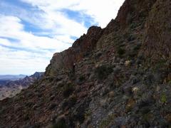
 I spent 30 minutes exploring the "direct" route up the gully. What appear to be 5' ledges are actually ~15'. The hardest I've climbed free is 5.6, and the ledges route seemed worse. |
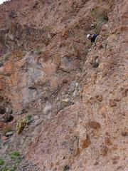
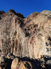 The ledges. After 30 fruitless minutes, Tracy and I found a route to R (N) that was mainly class 3. |
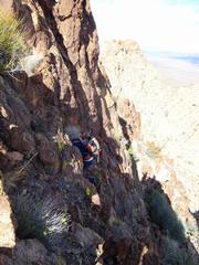
 Tracy comes to base of ledges. |
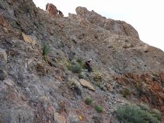
 After I left the ledges, I checked around this corner to N, looked good. |
 I was surprised to see a few cairns; these may have been left on Adam Walker's 1st attempt (I'm sure there will be a success soon), or date from 1983. |
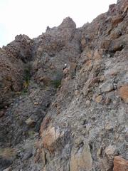
 After we started the last climb 300' below the summit, there was just one ~class 4 section. |
 Tracy comes up the last section |
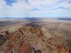 |
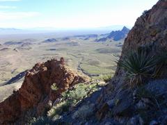
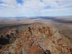
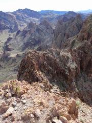
 View S. The R peak, also 1124m on the topos, may have slog routes to W and S |
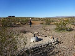
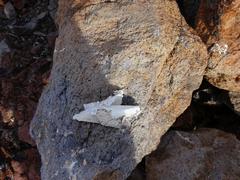 The remains of the register |
 View N |
 This was originally a can-in-can register, but either the last person put it back in a hurry, or animals tore into it. The other can was at L a few feet away. |
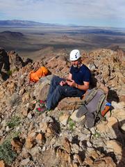
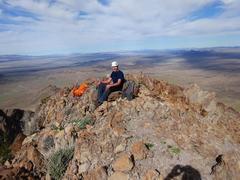 Tracy should get money for product placement of his Solomon trail runners. |
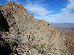
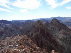
 The ridge. Not a good traverse. |
 |
 |
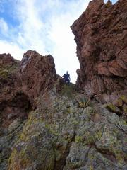 Tracy descends a key notch from the ridge. |
 |
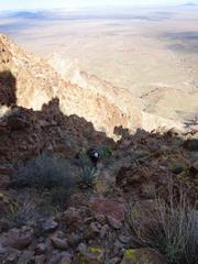
 I put on my helmet for descent, and Tracy would wait for me to get ahead, then I'd hide behind boulders. |
 |
 View SE |
 View up at a hidden nasty slot. |
 The slot becomes invisible |
 A knife edge of rotten rock, view E |
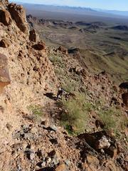
 Many peaklets look like they are approachable from S. |
 |
 |
 |
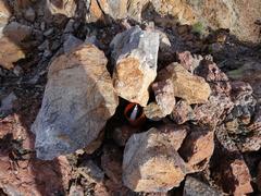
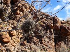 Bird's nest made from catclaw and cactus thorns. |
 |
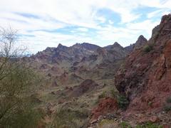
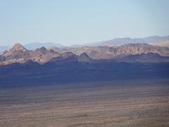
 View of Kelbaholt at about 3 PM |
 |