|
|
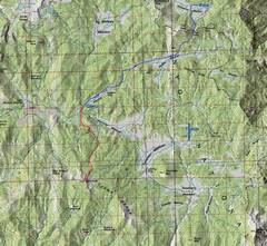
100k map with GPS trace. Blue marks the backpack route in and out, red
the hike to |
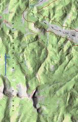
24k map for the |
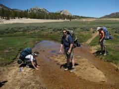
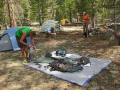
Day one—we stumble in. |
|
|
|
|
|
Mulkey Meadows. |
|
|
|
|
|
|
|
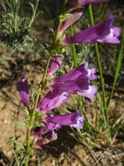
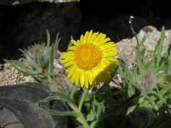
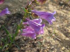
Penstemons near camp. |
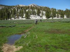
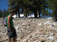
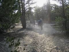
Day 2. We left camp at 8AM for the faint trail to the side spurs were better marked! |
Leo has a deep philosophical conversation with the snow. |
|
|
|
|
|
Cinquefoil, as we hit the timberline. |
Parry’s Primrose. |
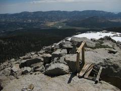
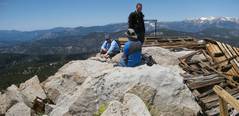
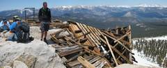
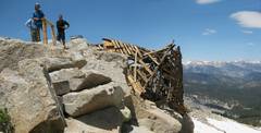
are remnants of an old fire lookout on top, with an old cast iron stove. |
|
|
|
|
|
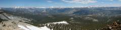
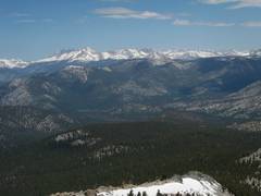
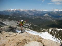
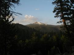
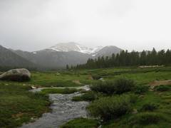
View ~NNW, with and the Kaweahs in middle. |
|
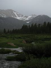
Kaweahs. |
|
|
|
|
|
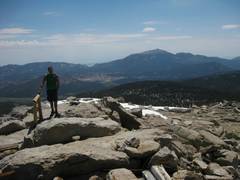
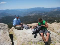
Kevin #1 and Eric are down below; they were on top within 15 minutes. |
|
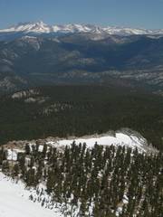
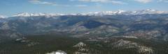
Another panoramic shot. |
|
|
|
|
|
|
|
|
|
|
|
|
|
Kern is an SPS summit, probably because it is so damn hard to get there, and because the views are quite good. |
|
|
|
|
|
|
|
AYC |
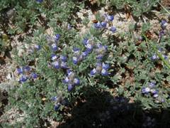
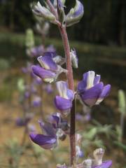
Lupines |
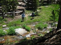
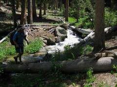
One of many stream crossings. |
|
|
|
|
|
|
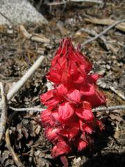
Snow plant, a saprophyte |
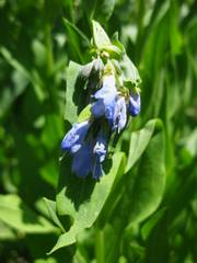
Blue bells |
|
|
|
|
|
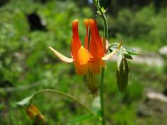
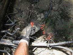
Scarlet columbine |
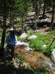
Eric uses a log for a stream crossing. |
These looked like scarlet gilias, but need to check. |
|
|
|
|
|
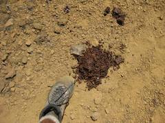
Bear poop. |
Lupines. |
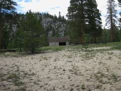
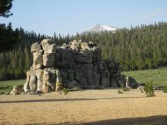
The station near camp – there is an “administrative pasture” nearby, and the building has a looked room with no windows but a sign reminding one to turn off the gas! |
|
|
|
|
|
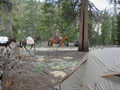
Back at camp ~3:30PM. A pack train with at least 10 horses and 12 mules came by; the driver said they were out for a week. |
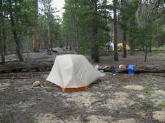
My tent. |
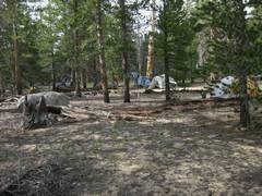
Campsite. |
|
|
|
|
|
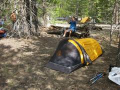
Eric’s tent. |
Kevin #2’s non-tent; Leo spreads bear lure. |
|
|
|
|
|
|
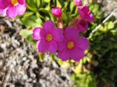
Penstemons again! |
As we leave, the dust (which is 10% dried horse poop) encourages us to hold back. |
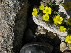
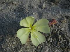
Evening primrose growing on what looks like very inhospitable ground. |
|
|
|
|
|
|
Before After we descended N of the pass, we got this view of
Cirque and |
|
|
|
|
|
|
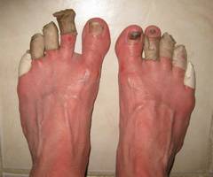
And you can’t see the damage on my heels! If it were not for 3 changes of socks, boot drying overnight, and lots of tape, I would have been a hurtin’ puppy. |
|
|
|
|
|
|