Kinesava (7285') in Zion

pics by Harlan W.S.
April 01, 2011

We started at the new "legal" trailhead at the Anasazi Plateau Subdivision road (Chinle trailhead).  This starting point adds some mileage and elevation gain, compared to the old start in Springdale (which is now forbidden due to private property issues). With all the little ups and downs, the day will give about 7.7 miles for the RT, and 3650' accumulated elevation gain. The route to the very base of the cliffs is now class 1-2, with some obnoxious steep, sandy and loose sections. Early parts of the route are through scratchy blackbrush desert.

My partners felt this was really class 3, no worse than what we'd call class 3 in Red Rock Nevada.  I would still call it "Zion Class 4"-- the rock is brittle, covered with sand, the holds are beveled, and there are some very exposed sections.. Thus there are places where you must use bigger moves, to avoid holds that may snap off or be covered with sand. The top of the ramp, from 6600 to 6800', is often very sandy and rockfall is a serious issue; I would recommend no more than 4 people on this route at one time, and they should either spread way out, or keep very close. You can loosen a rock merely by stepping near it; the sand beneath the rock shifts and sends the rock tumbling.

When you cross the final plateau on top, to the last summit dome, try to stay to the R (N) side for easier climbing.

kin24
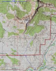
The route, after suggestions from
Bo Beck.
IMG_2821
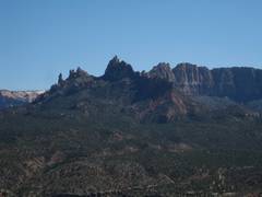
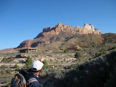
Kinesava is the W (L) part of the ridge;
the white mass at R belongs to West Temple.
 The true summit if Kinesava is barely
in view to R of the apparent peak.
IMG_2824
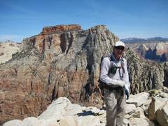
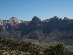
Bridge Mountain is at the center of this
view ENE. East Temple is to the
L of Bridge.
IMG_2825
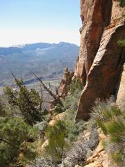
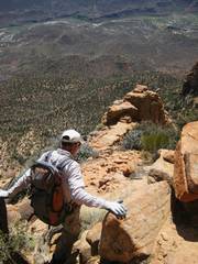
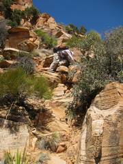
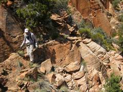
View up the vegetated ramp system.
IMG_2826 IMG_2827
IMG_2830 IMG_2834
View NW to South and
North Guardian Angels.
IMG_2836-8
On top, view E.
IMG_2839-45
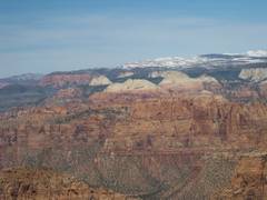
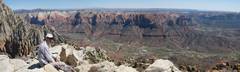
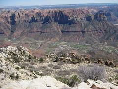
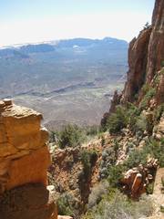
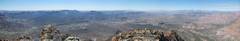
Panoramic view  S to W
IMG_2856 IMG_2857
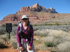
West Temple in back.
IMG_2858
View E to Watchman and Johnson Mt,
from partway down the summit dome.
The sandy area must be crossed an
the way back to the ramp top.
IMG_2859 IMG_2860
IMG_2861 IMG_2862 IMG_2864
IMG_2865
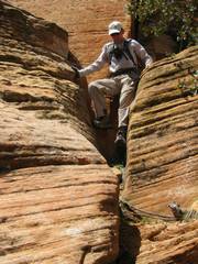
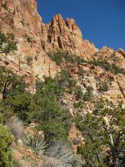
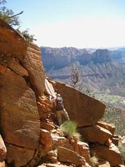
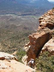
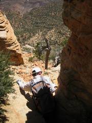
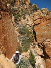
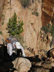
There is some big exposure.
IMG_2866 IMG_2867
IMG_2869
Eagle Crags.
IMG_2870