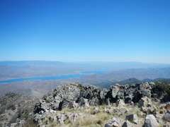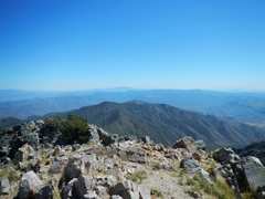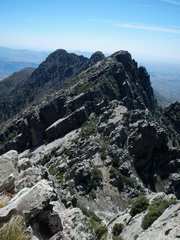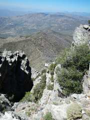
Kino and Browns Peaks in AZ

Harlan W.S. & Craig J
April 6-7, 2015

The first peak, Kino, has been on the Desert Peaks Section "suspended" list since 2003, when the NPS closed off over 90% of Organ Pipe National Monument. The closure followed the death of ranger Kris Eggle at the hands of a hit squad from a Mexican drug ring. (The Mexican police alerted the US authorities that the suspects had fled to the US.)  The porous southern border of AZ was a magnet for drug smugglers and "undocumented alien" traffic.  Even now one can see immense amounts of trash left behind by illegal trafficking in drugs and people.

But much has changed, and in 2014 the NPS re-opened most of Organ Pipe National Monument.  Security is much better than in 2002, and illegal activities have been pushed into the nighttime hours. So the hike to Kino is fairly safe, as long as one doesn't stay there past daylight hours, and travels in a group. Dehydration and rattlesnakes are probably greater threats; see the comments from NPS at the end of this page. We also left water outside our cars, encouraging any possible thirsty immigrants to take that water in preference to breaking into the cars.  I carried a SPOT satellite transmitter, and would have hit 911 if suspicions had mounted.

Because of the security issues, you probably won't want to camp near the Kino "trailheads." However, you can get an RV space for anywhere from $10-$20 a night in Ajo, and you are only 4-6 miles from the Darby Well Road. The road in was in very good shape, at least for the first 17 miles, and one could take a modest clearance sedan (being watchful of the occasional dip and rock).

My interest in Browns was kindled in 2008, when I traveled to Phoenix to visit a friend, and to climb Superstition Mountain the first time.  I saw a rugged ridge to the NE, and my friend casually called it "Four Peak."  I decided to scope out the ridge on the way back from Kino, with a vague plan for doing the technical 4-Peak traverse in later years.

DSCN9261kino
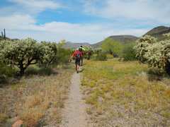
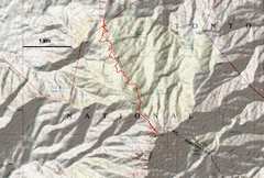
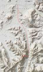
Our track, near DPS A.
The section across Growler
Wash was brushy, and
I would reroute that 1st part
of the trip.
DSCN9262
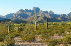
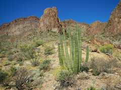
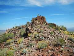
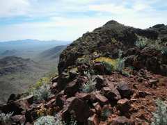
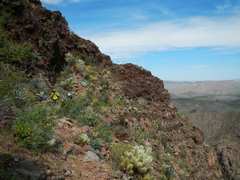
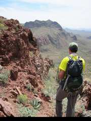
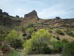
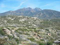
View of Kino to S, from
near the TH. There is
actually an improbable,
mainly class 2 way snaking
diagonally across those
steep faces.  Loose rock
(often perched over cliffs)
is the biggest danger.
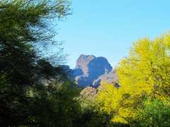
DSCN9262ckino02
Pic courtesy Craig J; palo
verdes in bloom.
DSCN9263
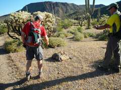
Craig and Bill examine
one of many pieces of
detritus left by immigrants
and smugglers
DSCN9264
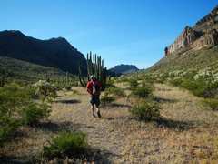
Now we head south
through main wash E
of peak.
DSCN9265
Bill and I will stay just R
of rocky prominence;
others will head up wash
to R.
DSCN9265ckino04
Pic courtesy of Craig J.
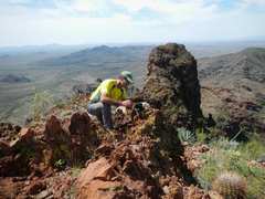
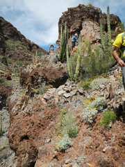
Jeff climbs the precarious
face.
DSCN9267 DSCN9269
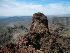
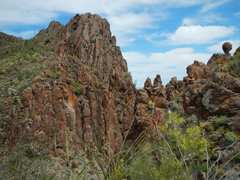
South Kino. From the N
peak, one can see lower
mountains over the top,
so this crag must be lower
than the N peak.
DSCN9270
View back north to folks
gathering on N peak
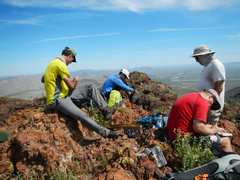
DSCN9272
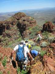
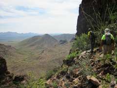
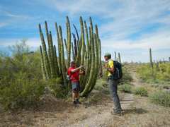
L to R: Bill, Jeff,
Craig (red shirt), John
DSCN9272ckino05
Photo courtesy
Craig J.
DSCN9274 DSCN9276_stitch
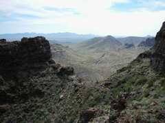
View NE as we head back down
DSCN9278
DSCN9278ckino06
about to start descent
over NE face
DSCN9279
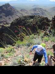
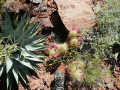
Many beautiful spiky
plants are waiting to
embed in your skin.
DSCN9281
DSCN9282
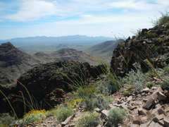
View back SW from
just above NE face.
DSCN9282ckino08
Pic courtesy Craig J.
Bill examines a possibility.
DSCN9284
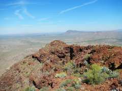
View E across saddle;
one must drop, then
traverse to L.
DSCN9287
View NW, over ridge
bounding DPS B
DSCN9287ckino09
Bill contemplates the
start of traverse.  Pic
courtesy Craig J.
DSCN9289
DSCN9291
The traverse from saddle.
DSCN9292 DSCN9293
DSCN9294 DSCN9295 DSCN9298
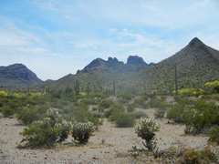
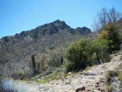
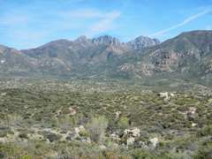
From near parking,
view S at peak.
DSCN9299browns
Browns is reached by
a long (20 mile) but very
good dirt road, with some
steep and exposed
sections.
DSCN9300
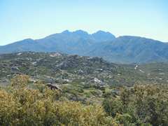
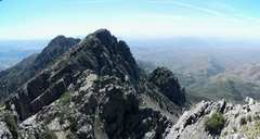
The Four Peaks to E;
Browns is at L.
DSCN9301
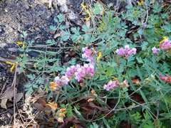
Vetch near start of hike.
DSCN9302 DSCN9303
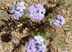
Verbena
DSCN9304
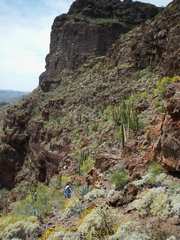
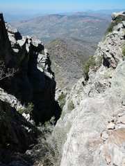
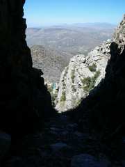
View up at N side of
Browns, showing
class 2 & 3 gully
DSCN9308_stitch
View SSW over peaks
2, 3 and 4
DSCN9310
View NE from summit
DSCN9312_stitch
View SSE from
summit over
Apache Lake
DSCN9314 DSCN9315_stitch
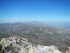
Pano S from summit.
DSCN9316
DSCN9324 DSCN9325
Beginning descent. There
is a chockstone just below
top of gully, requiring a
mantel, which turns back
many folks
DSCN9326
DSCN9327
The arrow points to folks
who turned back
DSCN9329
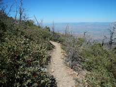
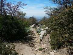
Imagine hiking through
the manzanita, if there
were no trail!
DSCN9332
lupines
DSCN9333
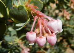
manzanita flowers
DSCN9334
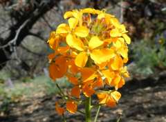
wallflower
DSCN9338
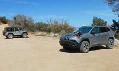
Overkill for this road--
but you will spend a lot
of time in 1st gear.
DSCN9340
View back on the
Four Peaks.
DSCN9343 DSCN9345
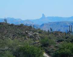
Weaver's Needle to S.
From the NPS Organ Pipe FAQ, as of April 8, 2015:
"The Department of the Interior, National Park Service (NPS) and U.S. Customs and Border Protection has constructed infrastructure and increased numbers of agents and park rangers.Where there used to be a barbed wire fence designating the border there is now a 30-mile vehicle barrier fence and a 5.2-mile pedestrian fence.The NPS has increased the Visitor and Resource Protection staff from 5 park rangers to 20.The Border Patrol Ajo Station in the Tucson Sector has increased from 25 agents to over 500.The Department of Homeland Security has installed towers with radio and imaging technology that also aids in the tracking and apprehension of those engaged in illegal smuggling."