|
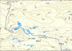
Temporary GPS map -- hope to get a better one soon. |
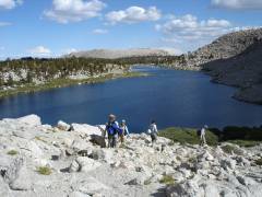
View W to Cirque Peak. |
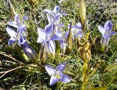
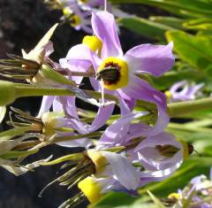
Sierra gentians, worthy of W.C. Bryant. |
|
|
|
|
|
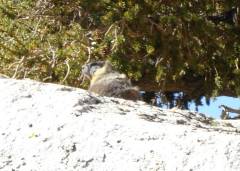
Marmot via zoom. |
|
|
|
|
|
|
|
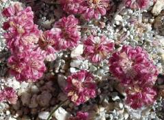
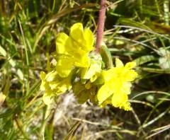
Cushion Buckwheat. |
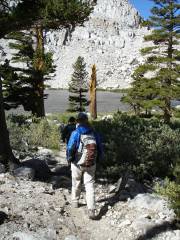
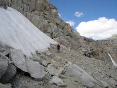
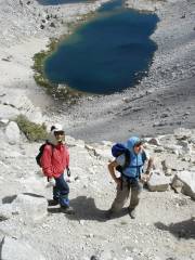
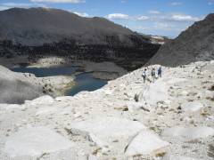
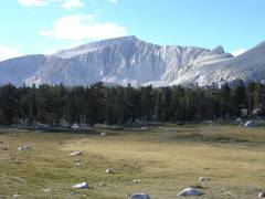
View WSW to Old Army Pass. |
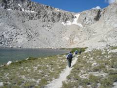
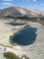
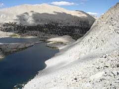
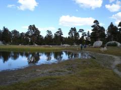
View back ENE at last Cottonwood Lake. |
|
|
|
|
|
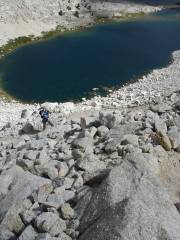
Eva by the snow on trail to Old Army Pass. |
|
|
|
|
|
|
|
|
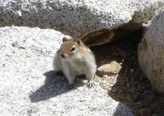
Golden-mantled ground squirrel. Thanks to Anya for ID. |
|
|
|
|
|
|
|
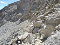
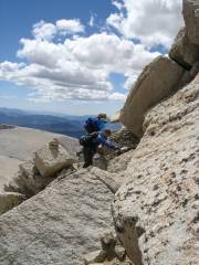
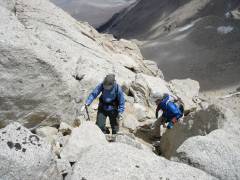
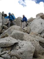
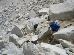
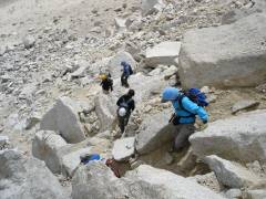
The Class 3 route on the E side of Langley -- oops, a mistake. |
|
|
|
|
|
|
Richard B, who with Ed, Debbie and Branch met us on top (they came up the NE face). |
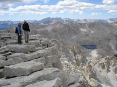
Branch at left; Whitney at right. |
|
|
|
|
|
|
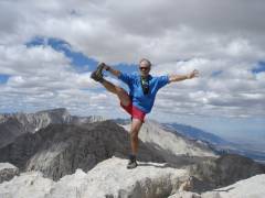
Look at me, look at me. |
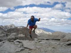
Celebratory goat dance. |
|
|
|
|
|
|
|
|
|
|
|
|
|
|
|
|
|
|
|
|
|
|
|
|
Shooting Stars. |
|
|
|
|
|
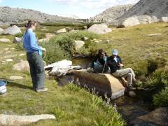
Terry waits for water, as Richard and Debbie pretend to be the Copenhagen mermaids. |
|
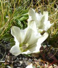
Alpine Gentians. |
|
|
|
|
|
|
|
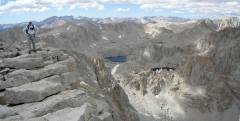
View back W on Langley. |
|
|
|
|