|
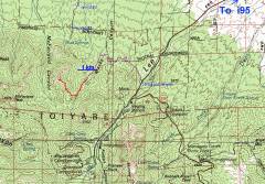
100k map showing pink dots on gravel road and GPS trace (red). There is a barely visible sign for "Mack's Canyon" at the start of the gravel road. |
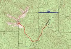
24k map with GPS trace. |
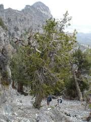
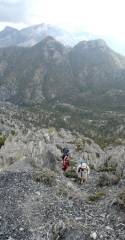
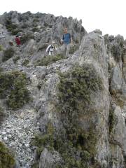
View N, near the top of the steep Talus chute, with Mike, Steve and Alda (in red, right side). |
|
|
|
|
|
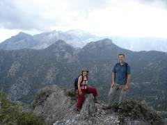
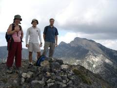
Alda and Mike, with The Sisters and Mummy Mountain in the back. |
The last steep talus above the chute. |
|
|
|
|
|
|
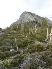
McFarland Peak is in back at right. |
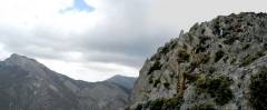
North Mack's is the sharp peak in background at right. |
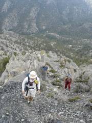
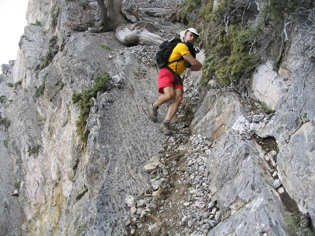
Descending the last pitch above chute. |
|
|
|
|
|
|
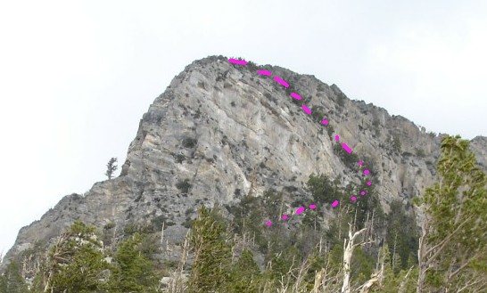
View NW toward peak. The ascent chute follows the line of trees. |
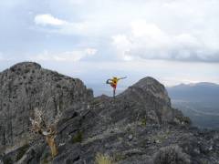
Special bonus picture from Steve: the last chute. |
|
|
|
|