Mack's
(NV) by Unusual Route
These routes
originate in
|
|
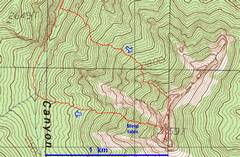
The latter part of the route on a topo map. |
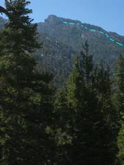
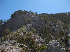
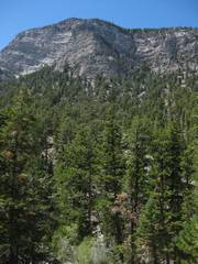
The upper route as
seen from the walk in along |
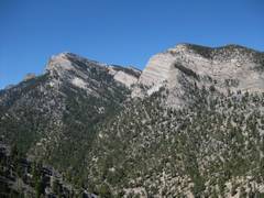
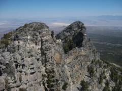
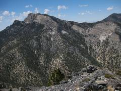
View of McFarland from about 8000’. |
|
|
|
|
|
|
View upward, along the upper part of the ascent route. |
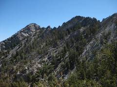
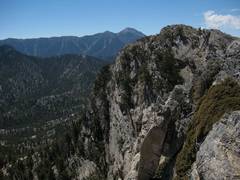
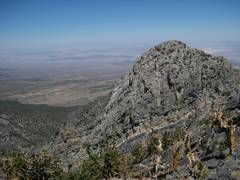
View toward N Macks, ~9500’. |
|
|
|
|
|
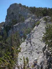
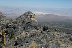
View upward (ESE), ~9700’. |
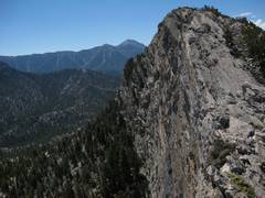
On the summit ridge,
view SSE to |
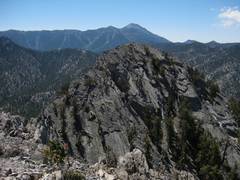
View back to N Macks. |
|
|
|
|
|
On the summit ridge,
view SSE to |
On the summit ridge,
view SSE to |
|
|
|
|
|
|
|
|
|
|
|
|
|
|
|
McFarland from the summit. |
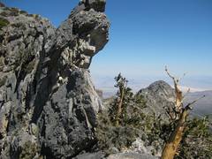
A northern summit (NOT N Macks). |
|
|
|
|
|
McFarland, as seen from bottom of the descent route. |
|
|
|
|
|
|