|
|
At least 12 miles, 4350' net elevation gain. There is an unproductive gain and loss of 1000' each way on the Bonanza Trail. |
West to McFarland. |
|
|
|
|
|
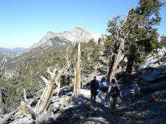
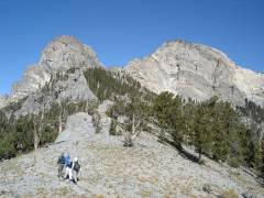
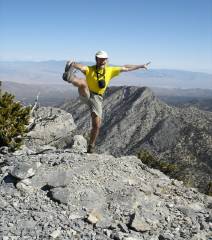
Closer to the peak; the right summit is the higher. |
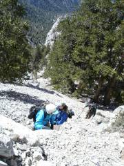
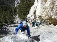
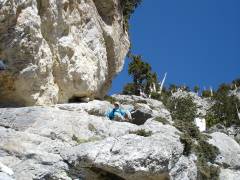
Susan, Judy and Frank come up a steep stretch. |
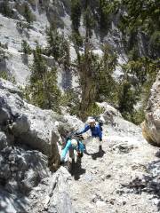
More steep stuff. |
|
|
|
|
|
|
NE toward Mack's Peak. It was 38-40F on top, with occasional strong wind, but I was appropriately dressed. |
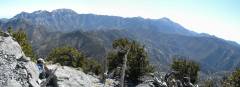
View east, with panorama of Mummy range (left) to Charleston (right). |
|
|
|
|
|
Susan, guarding a recently broken arm, comes down a very steep stretch. |
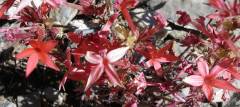
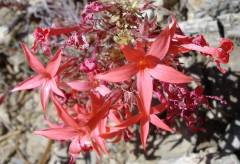
Scarlet Gilias (which are not real gilias). |
|
|
|
|
|
|
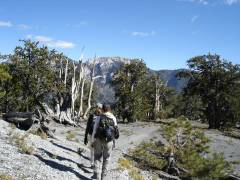
Heading back east on Bonanza. |
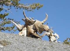
A triceratops browses on some bristlecone. |
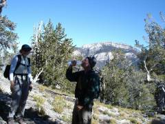
Frank drinks some vintage SmartWater. |
|
|
|
|
|
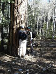
Judy and Susan sniff a Ponderosa Pine for vanilla. |
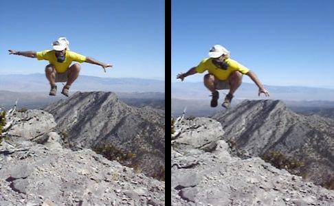
Bonus picture: very windy on top of the peak. (non-clickable) |
|
|
|
|
|