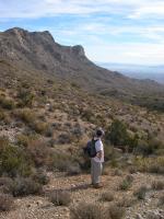
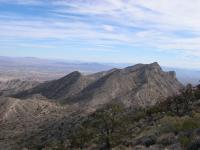
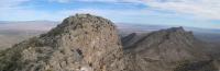
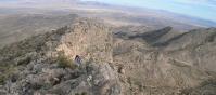
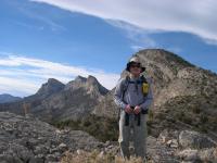
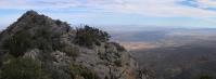
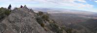
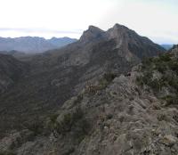
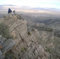
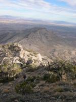
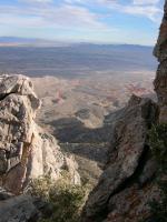
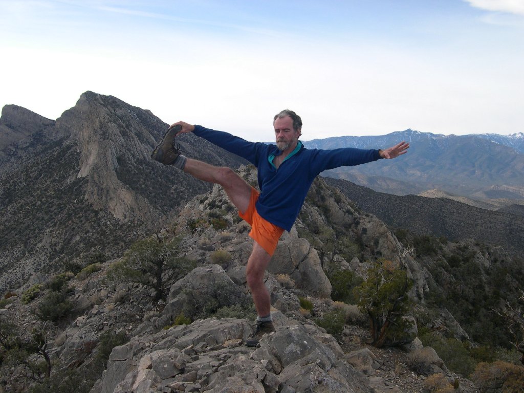
Mt Doering (aka East La Madre)
Near Las Vegas, Nevada.
H.W. Stockman
Saturday November 29, 2003 |
Click on any small image to see a larger picture. (Cliquez sur une petite image pour voir la grande image correspondante.) Order is essentially chronological.
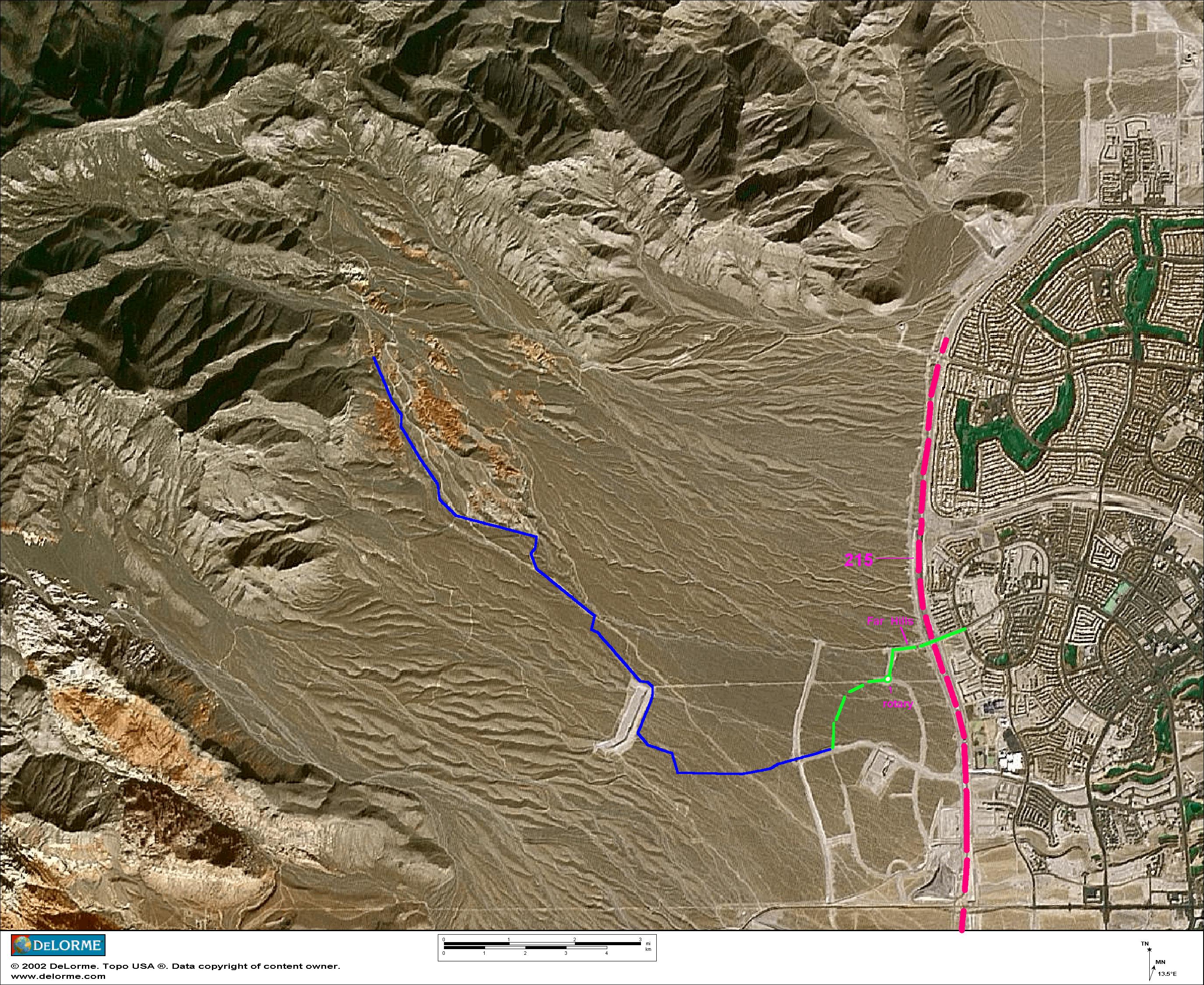
To get to the start of the 4WD road (see maps and GPS files below), take 215 north to Far Hills, then exit and go ~0.1 miles west across 215 on Far Hills Drive, then take the 1st left (south) on Carriage Hill. Travel south to the rotary (clock tower), and bear right (east) on Vista Run. Travel east then south 0.7 miles on Vista Run, to a stop sign, and turn right on Alta (presently unsigned). Travel 0.2 miles west on the paved portion of Alta and bear slightly left onto the start of the gravel road. Travel on the gravel road a short ways, bear right back onto the gravel Alta extension, continue west, and bear right when the Alta extension ends.
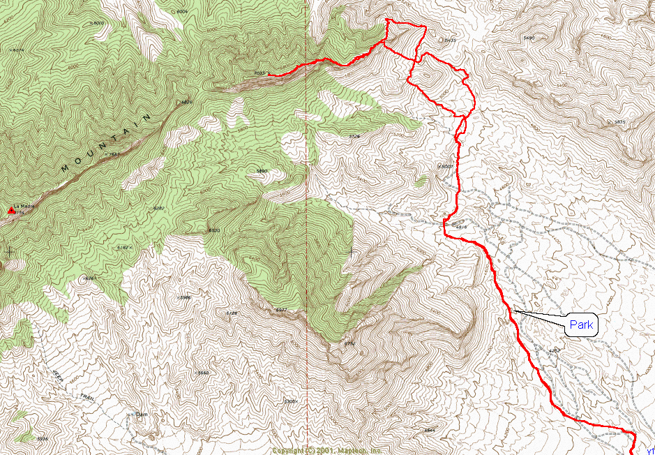
GPS files: MapTech Route format (text) relative to WGS 84. Change extension to txf to import into ExpertGPS.
4WD road in
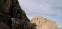
Easy Route on east side of ridge
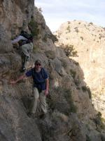
Possible route on west
(Update: we took the west route Feb 1, 2004, and found it easier than the east route. There is one dry fall when the gravel road ends at ~5350', but the fall is easily circumvented by climbing to the right.)
DISCLAIMER: Use these files at your own risk. The satellites were favorable the day we went up and down the peak. But the reception may change on any given day, and cause nonsensical GPS readings. A GPS does not give you the ability to fly or suspend Newton's Laws and common sense, so don't try going up or down cliffs that are clearly beyond your ability or equipment. This is a bad place to be spend the night. This hike would be miserably (deathly) hot in the late spring, summer or early fall.