W
Monument from
(Near
Vegas in NV).
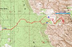
pics by Harlan W. S. First, thanks to all my compadres, who encouraged me to “keep looking” once I had given up on the chute. Route is from Branch Whitney and Ed Forkos. Narrative at the bottom (eventually!). Other trips to Monument here and here. |
|
We actually drove to the west side of the limestone ridge from Mountain Springs; but you can approach this from a better road
off |
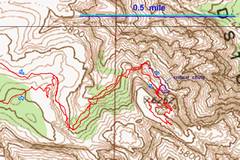
This is a close-up of the previous map, showing a “mistake” that we made. On the way back, Len wondered aloud how we could possibly have missed the exposed traverse; answer: we mistakenly went below it! |
This google earth map shows the chute one must take to reach the final summit plateau. The blue shows the dead end. The red shows the correct fork of the chute (climber’s L); the magenta shows another way I took over to the correct chute. The pink-and-blue dot shows the critical point where one must cut L. The green asterisks show the correct broken-top ponderosa pine (L) and a ponderosa with a dead top (R). |
|
|
|
|
|
View W as we descend the limestone ridge. |
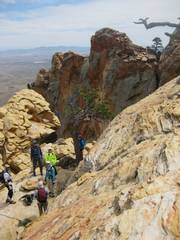
Suddenly, we are on the N end of Monument, look
at |
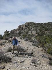
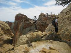
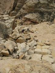
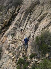
The correct fork of the chute. |
|
|
|
|
|
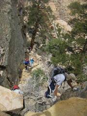
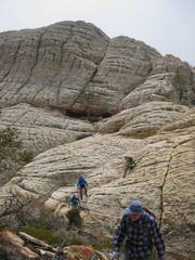
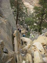
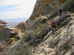
View SE. Len is about to climb up the wall. |
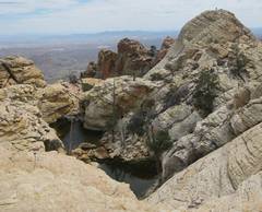
View SE, taken from near the 6252’ elevation checkpoint (see map). Peter B is atop the highest peak; in front is a large tinaja. |
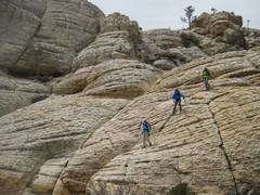
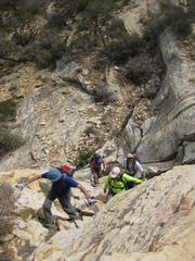
Doyle, Len, Teri and Lori head to the top. |
|
|
|
|
|
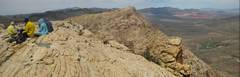
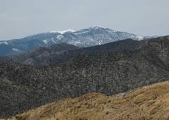
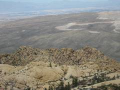
View roughly N. The dominant sandstone peak is in this photo. Calico Hills and La Madre are visible at R of Wilson. |
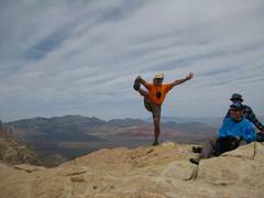
Susan comes up, after the grand tour of the top. |
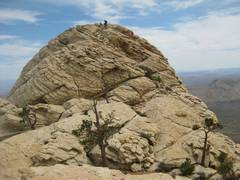
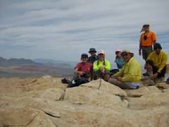
Group summit shot. |
|
|
|
|
|
|
|
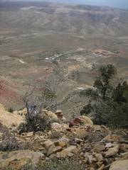
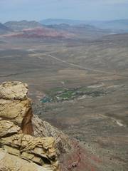
Spring Mt Ranch. |
|
|
|
|
|
|
Coming down from true summit (in back). |
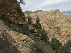
View SE, after group has dropped down wall by pinyon pine. |
|
|
|
|
|
View down chute, to NW. |
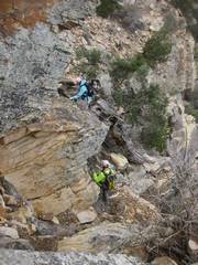
This is the critical point where one must jog L on way down OR way up. View NW. |
Now the improbable traverse back on NE side of peak; view NW |
|
|
|
|
|
|
More improbable traverse. |
|
|
|
|
|
|
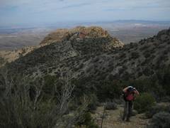
…and magically, we are once again back at the limestone ridge, with a view of Monument (L) and |
View E over Rhodes Ridge. |
|
|
|
|
|

OK, I’ll put some commentary here eventually!