|
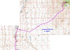
100k topo map. The first part of the drive, N from Moapa, is parallel to a RR track. The rough road begins past the Rox siding, when the route suddenly veers E. |
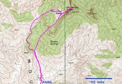
24k map. The northern part of the loop (above, our descent) is class 2; the more direct southern part (our ascent) has a few class 3 sections. |
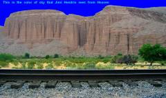
On the drive in, east of the tracks, are intricately carved colonnades in the lithified gravel. |
|
|
|
|
|
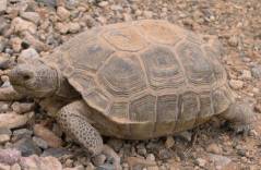
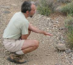
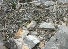
Desert tortoise. |
Tortoise with human for scale. |
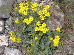
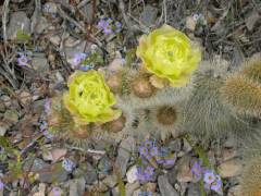
Paintbrush and strawberry hedgehog cactus. |
|
|
|
|
|
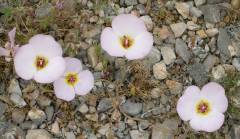
Mariposa Lilies. |
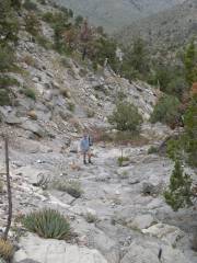
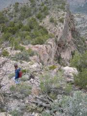
Much of the ascent is on bare rocky washes. |
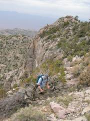
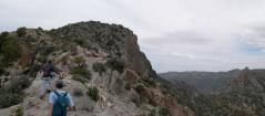
Our ascent involved a few class 3 sections till we came over the rim. |
|
|
|
|
|
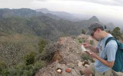
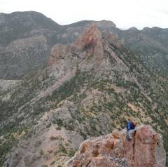
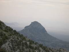
Near the top; view ENE to Mormon Peak (left) and the "shark's tooth" at right. |
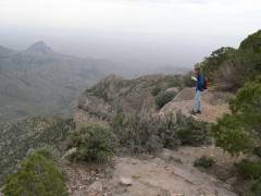
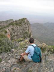
On top, view ~ SE. |
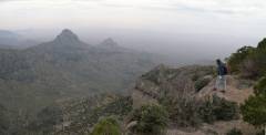
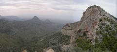
More view ~ESE. The sharp peak below is nameless. |
|
|
|
|
|
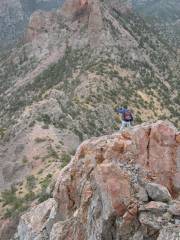
The "shark's tooth"; view E from near summit. |
Panoramic view ~NE from top. |
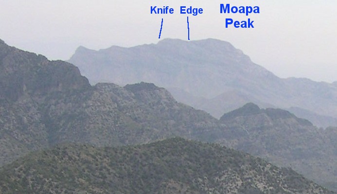
The ridge in the distance is Moapa Peak (slightly left of center). Here is a close-up of Moapa. |
|
|
|
|
|
|
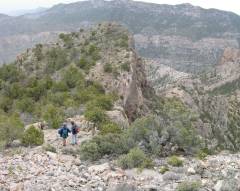
Nick and Pierre head down to North Mormon Peak. |
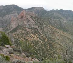
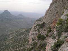
View back SE; at right is cliff wall on SE side of Mormon. |
|
|
|
|
|
View towards the Shark's Tooth. The descent looked a little uncertain (crappy rock, unknown drops), so we decided to turn back. |
|
View NE from N. Mormon Peak. |
|
|
|
|
|
View of Mormon (R) from N. Mormon Peak. |
AYC. |
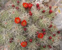
Claret cups. |
|
|
|
|
|
Nameless lump |
Fremont Phacaelia. |
Old man cactus? |
|
|
|
|
|
|
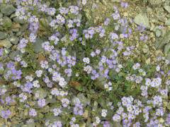
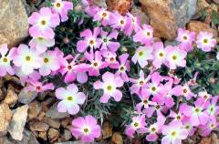
Phlox. |
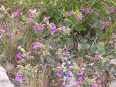
Mainly Four-O'Clocks. |
|
|
|
|
|
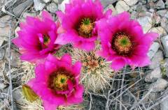
More strawberry hedgehog. |
|
|
|
|
|
|
