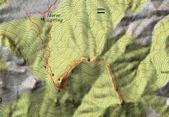
 Numbers correspond ~to photo locations. I started walking ~5000', followed the road to its end. My route up was to N following cow trails; descent was through gully. Grid is 1 km. |
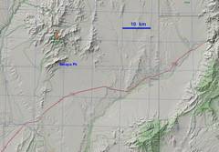 Context map |
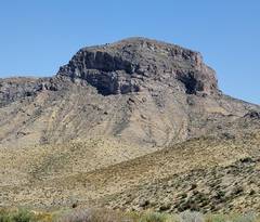
 5804 on drive in by Rainbow Pass Rd. Only known rte is class 5; there may be a break on opposite side. |
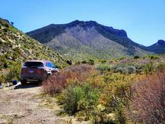
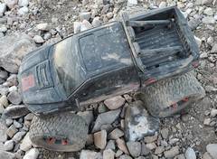 RC toy 4x4 at end of Horse Hollow Rd. |
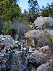 The gully was still rough up by 1. |
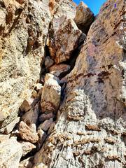
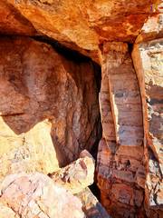 At 3, there was a natural shallow cave. |
 View out from cave. |
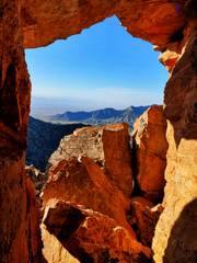
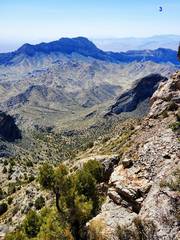
 Outside cave, view to Moapa Peak. |
 Just below Peak 6970, View~ NW. |
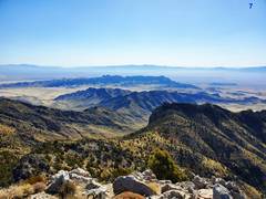
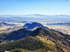
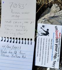
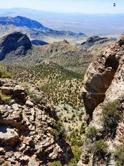
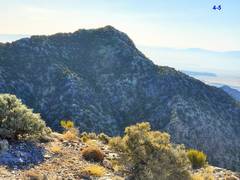 Peak 7083 ~SE |
 On way up 6970, View NE. |
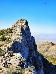
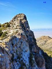
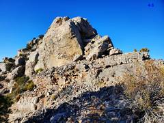 The "crux" from the ridgeline is just exposed class 2. |
 View back SW at 6970. Photo is deceiving; the L side drops off to a cliff. |
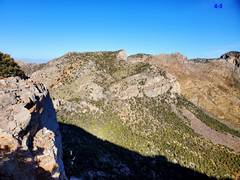
 Partway along ridge to 7083, 5804 to L. |
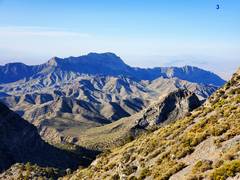
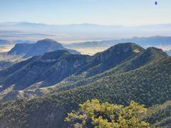
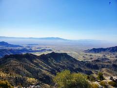
 Bangs is peak in skyline, Davidson is next range below that. View ~E |
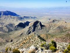
 From top 7083, view ~E |
 View ~SE from 7083 |
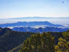
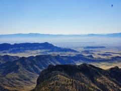
 Moapa from 7083 |
 |
 View ~ENE |
 |
 View ~SW toward Moapa |
 Again, ~ENE |
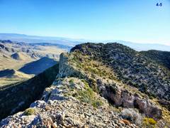
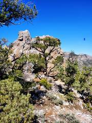 Back along ridge, there is one class 3 unless one wants to deal with steep thick brush. |
 Looking up class 3 chute. |
 Back for 2nd summit of 6970 |
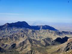
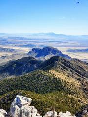
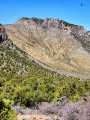
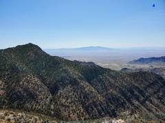 7083 as seen from 6970 |
 |
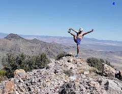 View ~NNE from 6970. Sorry for the arrogance, this started as a tick check. I'm still light, about 133 lbs after severe covid-19. |
 Heading down, cave is down at R, out of sight. This is one break in cliffs |
 Down at 2, 1st break I found in cliffs with a class 2+ chute. |
 At 9, view NNW |
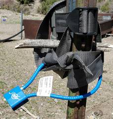 At 10. A hunter probably dropped this gun lock (blue) and webbing belt- holster, and some nice guy attached them here to be found. |
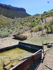 Also at 10, active cattle watering from Horse Spring. |
 Back at car. Now the numbers on skyline reflect the locations indicated on first map. |
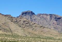
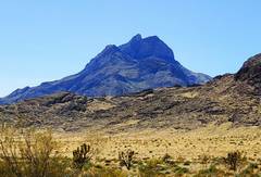 Moapa Pk, as seen on drive out on Rainbow Pass road. |
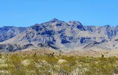 7083, as seen near HackBerry Road. |
 Out-of-order pic of 5804. There may be a class 4 work-around at L of the center of middle cliff band. Taken from Horse Hollow Rd. |
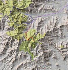 For the patient! Red is current trip. Blue is trip Anji and I made in 2019. Green is hypothetical route from S. Purple is Horse Hollow Road. |