|
|
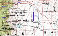
GPS trace in red, 100k map. |
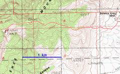
GPS trace in red, 24k map |
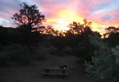
Morning at Mid-Hills campground. |
|
|
|
|
|
Smoke from the Sand Diego-area fires still tarnishes the moon. |
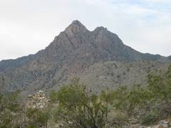
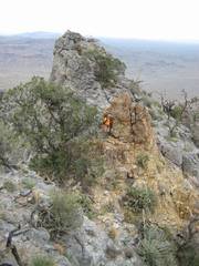
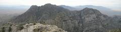
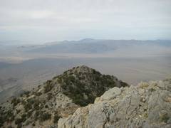
At Bonanza King, the sharp peak to the SW is Edgar. |
Windmill. |
|
|
|
|
|
The route takes the ridge on the extreme R side of the photo. |
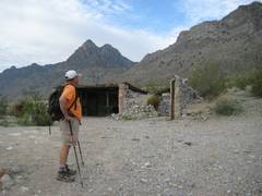
The ruins of the town, and our parking spot, are visible near the upper middle of photo. |
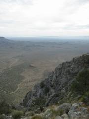
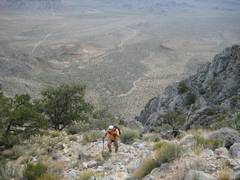
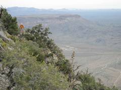
View SE from ascent ridge. |
|
|
|
|
|
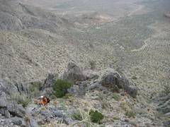
We break through to main E-W ridge of Mitchell. The mine site is still visible, just left of center. |
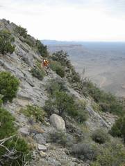
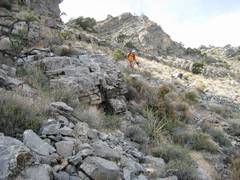
Traversing the rough ridge, ~5700’. |
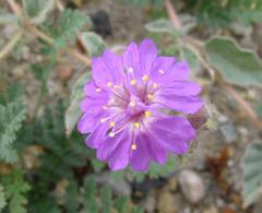
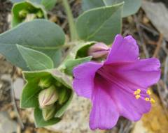
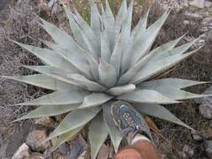
Desert four-o’clock. |
|
|
|
|
|
|
Near this spot, Ali seriously injured his ankle when a huge boulder rolled over his foot. He decided to wait at 6100’. |
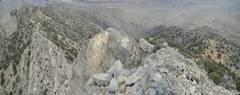
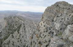
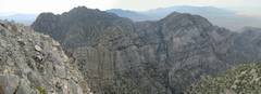
I’ve just come over the point labeled 2024T on the USGS map, and am looking W over the N side of the Mitchell cliffs. |
|
|
|
|
|
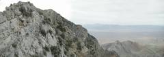
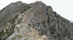
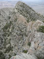
Now I’m near 6800’, looking back E over the “knife edge”. I walked along the very edge, but is safer to traverse on the right (S) side, as recommended in the DPS guide. |
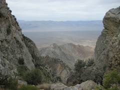
A window in the cliffs provides a view to the NW. |
View ~S. Mitchell is out of view, at R. |
|
|
|
|
|
Finally, the
roughest part of the ledges is over. Mitchell is the left-most |
|
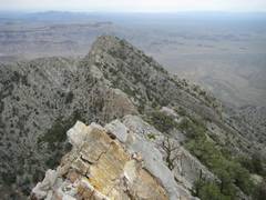
From the summit, view ~SE over Edgar. |
|
|
|
|
|
|
|
From the summit, view ~SE over Edgar. |
|
|
|
|
|
Descending, another view E over the knife edge. |
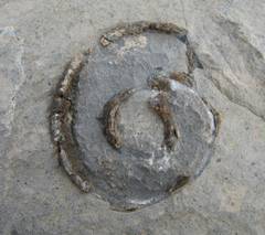
Snail fossil. |
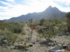
At ~5200’, Ali descends. |
|
|
|
|
|
|
|
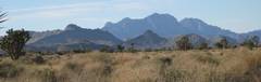
The next day, this is the view S to Mitchell, from near Cima. |
|
|
|
|

First, an excellent area map can be obtained at www.mojavenp.org.
From Vegas, take i-15 S to the Nipton-Searchlight
exit, and take the exit E. In ~4 miles,
turn S on the