La Madre
Traverse (W of
|
|
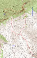
GPS trace (red) of loop. Ascent to LaMadre is on the right. |
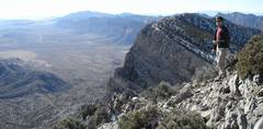
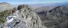
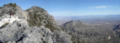
On ridge to LaMadre, view S. Turtlehead in center, “El Padre” (peak 8093) to R. |
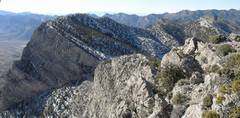
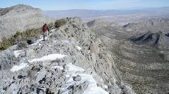
View W as we follow the ridge up LaMadre. |
|
|
|
|
|
|
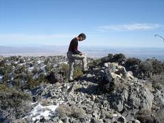
At summit. |
|
|
|
|
|
|
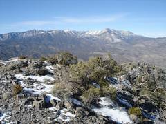
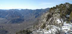
View WNW to |
Descent. |
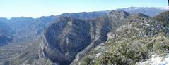
Crossing ridge of El Padre; Damsel ( |
|
|
|
|
|
|
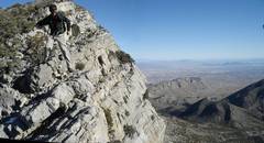
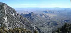
View SW; top of El Padre at R, |
View N off El Padre, over Turtlehead. |
|
|
|
|
|
The register (there in 2004) was gone, but we replaced it with an OPS canister. |
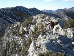
View ESE as we head to next lump in ridge, W of El Padre. |
View W to El Bastardo (Peak 7986). We will descend the valley on this side of Peak 7986. |
|
|
|
|
|
View of Turtlehead from saddle just E of Peak 7986. |
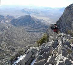
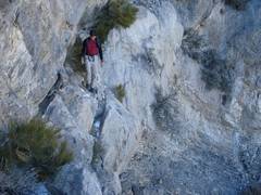
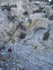
This traverse at ~7150’ is the only real “attention-getter”
of descent. There is a substantial drop to R. |
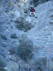
One can traverse low on the wall, but Mark likes edges. |
|
|
|
|
|
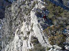
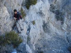
This is how the “crux” at 7100’ appears as you approach from S; view UP. Best approach is to go L and uphill from Mark, Then cut R to notch and traverse. |
|
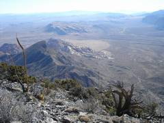
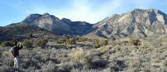
View NW as we head back to car across Desert. At left is Peak 7986; middle is descent canyon; R is El Padre (Peak 8093). |
|
|
|
|