|
GPS log, courtesy of Nick. A configurable map is here. |
January 1, 2003 A desert peak north of Lake Mead,
northeast of Route described by Branch Whitney. Sorry, don't have time for humorous comments. |
|
|
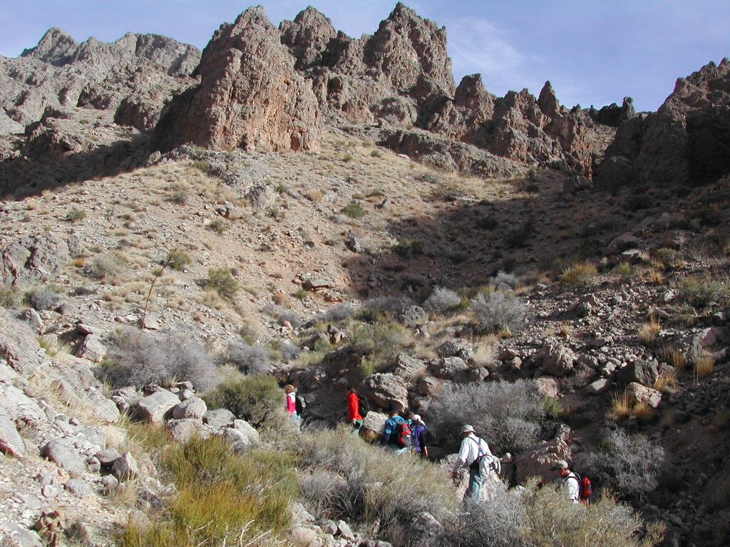
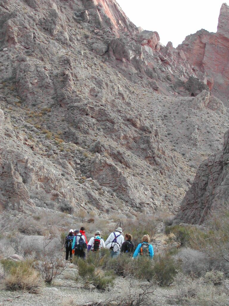
Hiking in along Lovell wash, shortly before route heads N up side canyon. View N. |
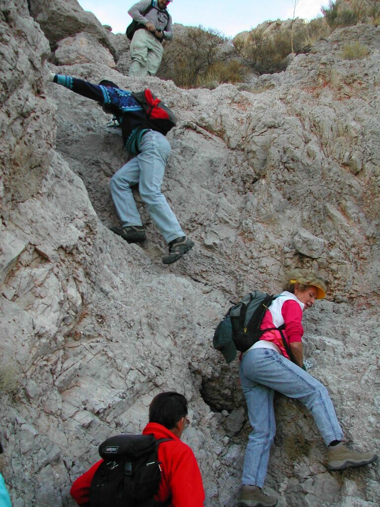
Looking up the 1st dry fall. |
Looking back down the 1st dry fall. |
|
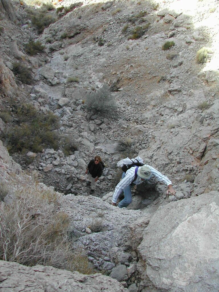
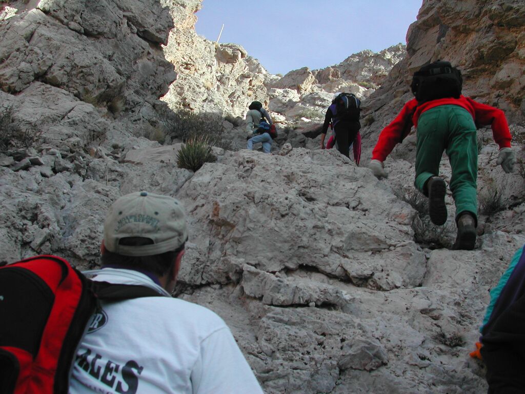
The route bends NE up the side canyon. |
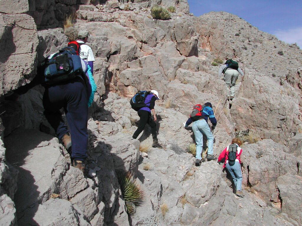
On the N side of the |
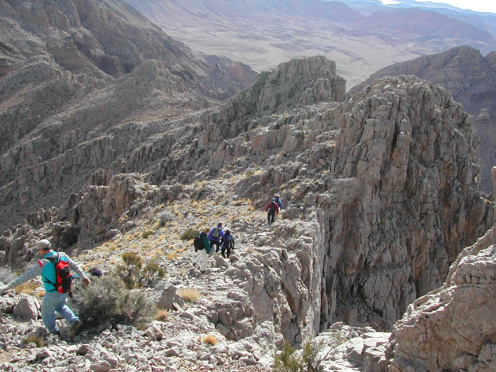
View NNW along ridge buttress. |
|
Looking SSE back down the ridge. |
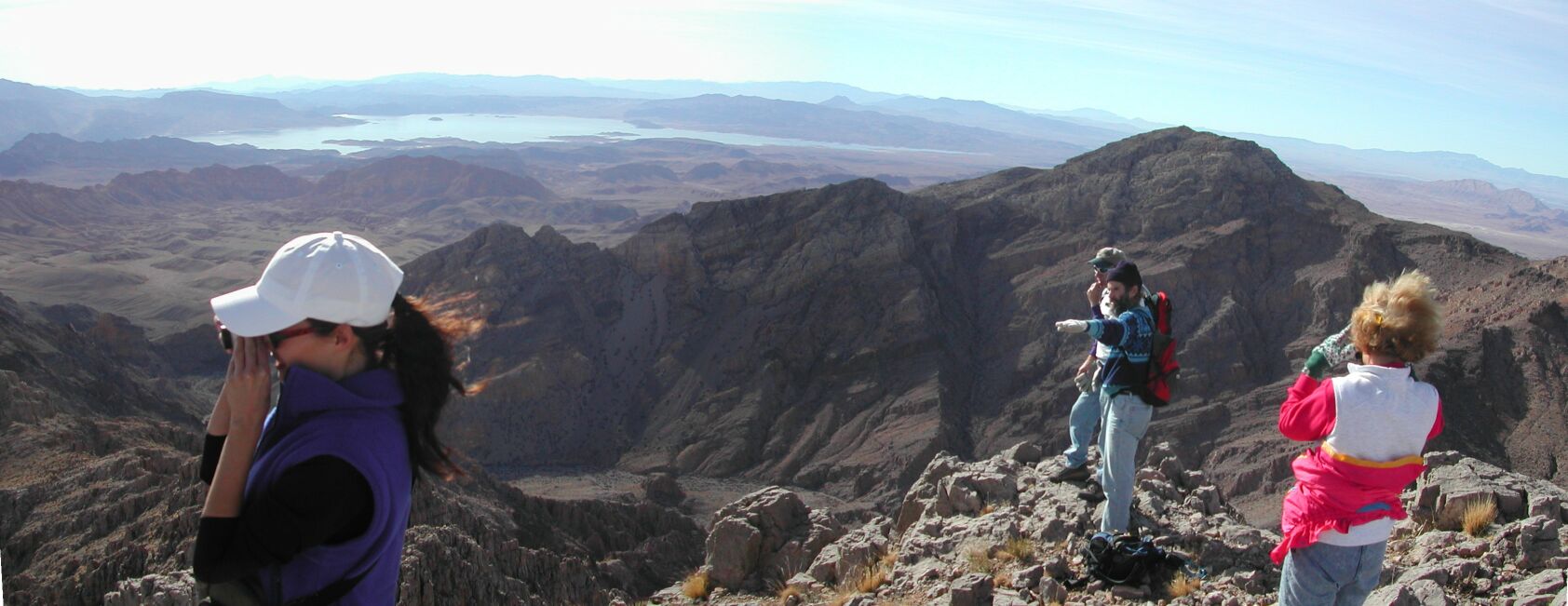
On top, photo of two people taking
photos. View S; |
|
|
View SW and W. Muddy High Point is the peak in near distance, center of panorama. |
||
|
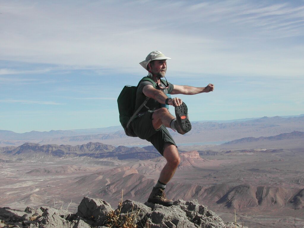
Harlan tricks his cerebellum one more time. Trivia: I made that pack in 1976. I wore that T-shirt when we painted our apartment in 1978, hence it is speckled with paint. I also wore that T-shirt for field work in 1978-9. |
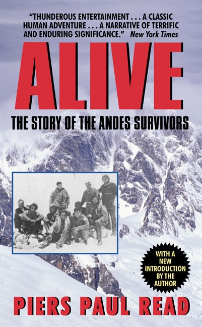
Lunch & view S near summit. Doyle asks, "What's for lunch?" Judy tells him about a new version of the Atkins diet, popularized by the book "Alive." |
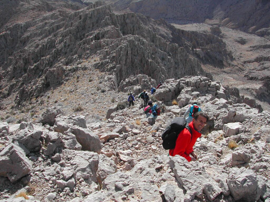
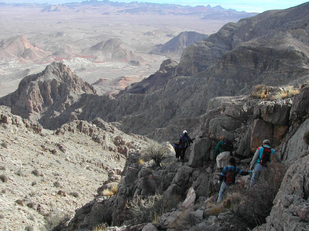
Starting the descent; looking SE along ridge. |
|
More descent SSE along ridge… |
…and more… |
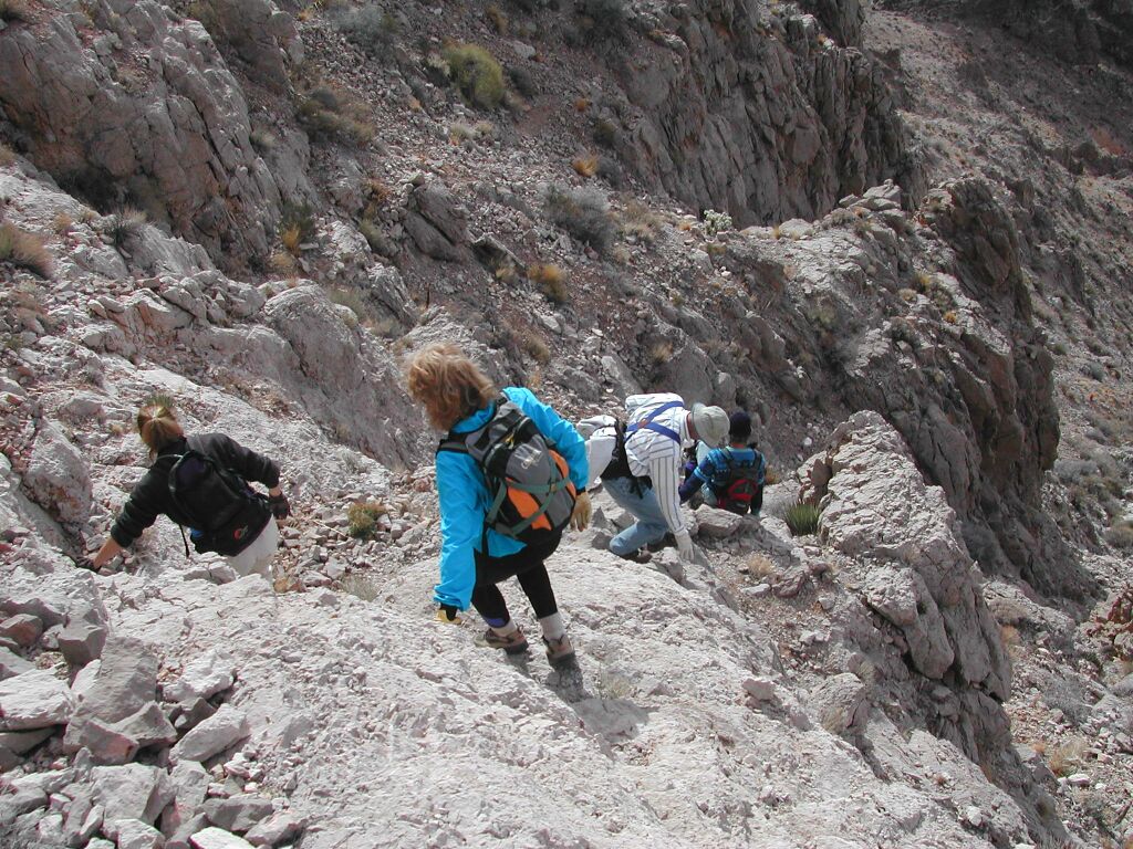
Now we're on S side of ridge, on steep descent down gully. |
|
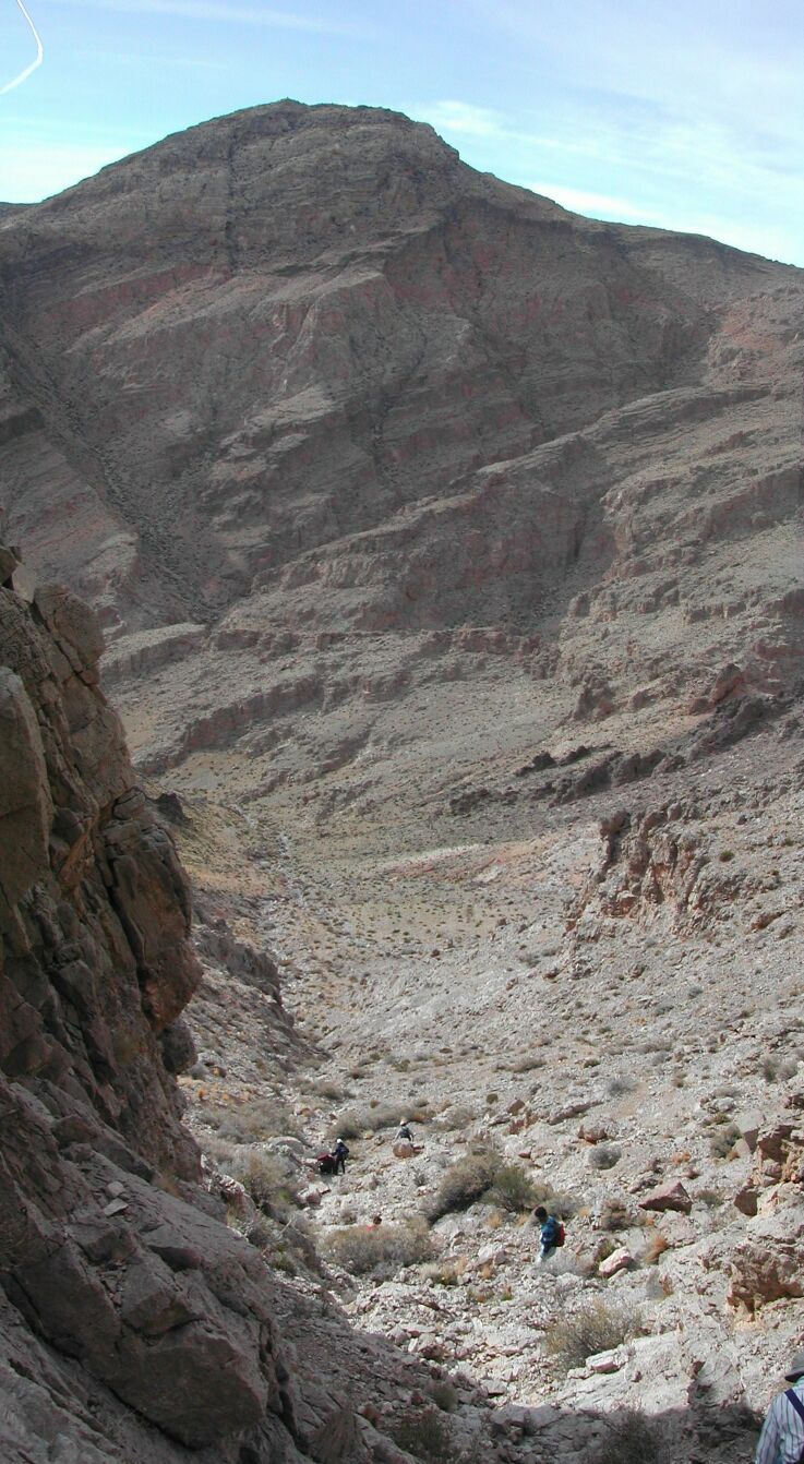
View SW, toward unnamed peak SE of Muddy High Pt; just before rejoining main wash. |
Hiking out along |
…and last but not least, here's a group photo, at the top, by Anna:
|
|
|
||


