Sunday, Muddy Sunday (
|
(Age test: Does the title remind you of a) a Glenda Jackson Movie, or b) a U2 song?)
Verbatim, from the Sierra Club DPS 2002 report: "DRIVING
INSTRUCTIONS: Leave
We ascended by the normal route, then descended down an airy ridge (to east of normal route). This ridge is quite rough, much more so than the normal ascent route. If you choose this descent, beware the many cliffs that are invisible from above; in addition, the route is rarely traveled, so is not preened of loose rock. We descended the ridge (that is, dropped down west) too early; we encountered some really cruddy loose rock returning to Hidden Valley. It would be wise to travel an additional 100 meters or so NE before leaving the ridge.
The south side of the peak provides an easier ascent route (through Lovell
Canyon / Wash), but I believe the access road was closed 3 years ago (I was
last there in January 2003).
|
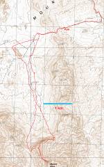
GPS trace. |
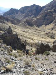
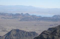
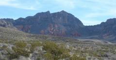
View S down Lovell Wash, just after the Saddle. |
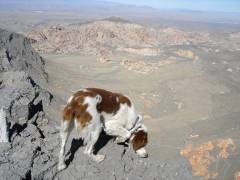
Dazey the Wonder Dog. |
|
|
|
|
|
|
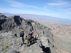
On the first ridge to the peak, view NW to Sheep Range. |
|
|
|
|
|
|
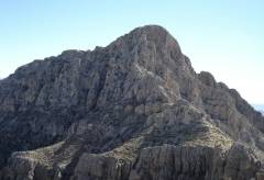
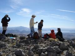
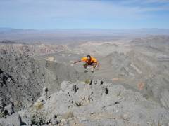
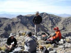
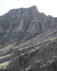
First full view SE of summit block, from over the ridge. It looks impossible from here, but the view is foreshortened. |
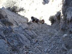
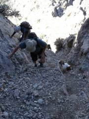
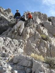
Up the chute on the W side of peak. The biggest danger is the loose rock. |
|
|
|
|
|
|
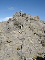
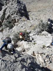
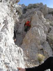
At the top of the chute is a very steep but easy stair-step section. |
|
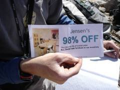
Too bad Kim didn't join us; this coupon expired at 9 PM EST. |
|
|
|
|
|
|
|
|
|
|
|
|
|
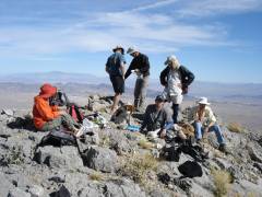
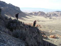
The descent of our new friends.
These guys are from |
|
|
|
|
|
|
|
|
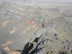
Now were heading NE of usual route, into uncharted territory. |
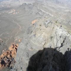
This ridge gives one airy views of |
|
|
|
|
|
|
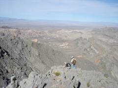
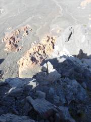
Looking back S at Muddy. The slope on the right side is where one must go to climb the summit block. |
Hidden Valley to W. |
|
|
|
|
|
|
View back S, over the length of |
|
|
|
|
|