Muddy Peak LVMC Trip

Pics by Harlan W.S.
Nov. 17, 2006

Trip led by Joel B.

Driving comments at bottom of page.

Another Muddy trip is here.

mud6b

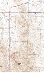
GPS trace. The route travels through Hidden Valley, once the center of the Ranch Dressing industry.

DSC07150

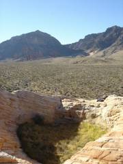
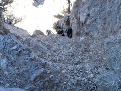
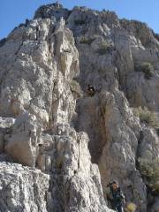
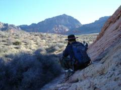
In Hidden Valley. I'm standing on the N edge of an old tinaja (now filled with grasses), looking S to the saddle. The summit of Muddy is not visible from here. We will travel up to the saddle, the cut E.

DSC07152

The troops greet Joel at the S end of the tinaja.


DSC07156

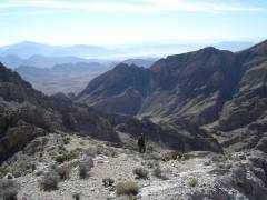
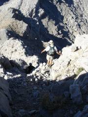
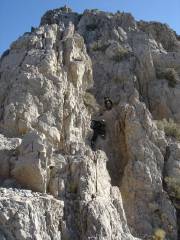
Now we are at the saddle, looking N.

DSC07158

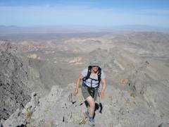
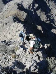
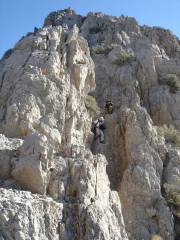
We ascend the ridge, view NNE. The cars are hidden behind the ridge in the center of photo.

DSC07163

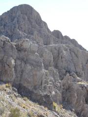
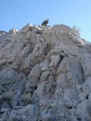
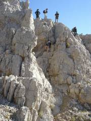
Can you see Walter? The summit block of Muddy is now visible. One ascends by the chute at the far left.


DSC07168

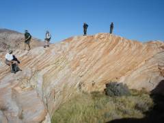
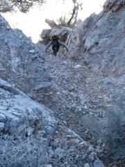
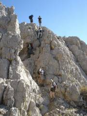
Greg scrambles up one of the many ridges on the way

DSC07169

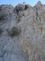
Man and mountain. The blue dot indicates where one enters the chute.

DSC07171

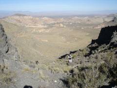
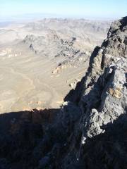
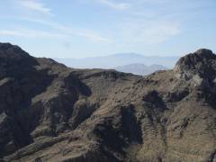
Mt Wilson AZ is in the distance at L, the Fortification Hill is to R, then Lake Mead. Greg in foreground.


DSC07173

Potosi is in the distance; Frenchman is just visible over the saddle.

DSC07174

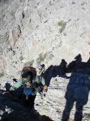
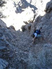
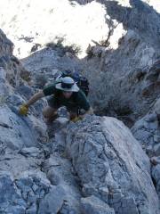
Up the chute. View is roughly NW, but the contrast between the dark chute and bright sun makes it hard to resolve scenery.

DSC07181


DSC07182

DSC07187

DSC07190


DSC07193

DSC07195

DSC07197

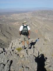
Triumphant, Alda crests the summit block. View N.


DSC07201

DSC07202

Walter on the precipice, and view NW. Symbolically, he drinks from blue and red bottles, hoping to drive the county to political moderation.

DSC07206

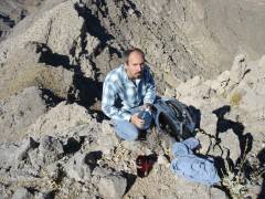
The sole of my boot is very worn.


DSC07207

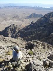
Booth Pinnacle and Pyramid are in the center distance, just before Lake Mead.

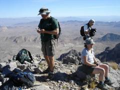
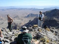
Chris begins to tell his "Wheeler Peak" story*.

DSC07210


DSC07211

A half-naked man approaches Alda and asks if she has seen his shirt. These wild Canadians.

DSC07212

Wasn't I here just a while ago?

DSC07215

Joel marshals the troops for the descent.


DSC07221

DSC07225


DSC07228

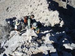
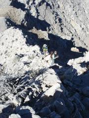
Looking up. Alda on an iffy spot.

DSC07235

Chris (in chute) tells the rest of the Wheeler story, and Greg runs away in panic.

DSC07237

Sacha also tries to escape quickly.


DSC07242

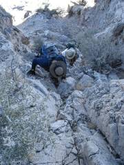
Now Jorge downclimbs for dear life.

DSC07247

DSC07249


DSC07257


*The Wheeler Peak story can be told only to those initiated into the club inner circle. You will have to hike with Chris and Joel several times, and learn the secret handshake, before learning these darker mysteries.

Verbatim, from the Sierra Club DPS 2002 report: "DRIVING INSTRUCTIONS: Leave Nevada I-15 at Exit 75, signed 'Valley of Fire, Lake Mead', State Route 169. Drive 3.1 miles SE on Route 169 to where the road starts curving left (less than 0.1 miles past highway milepost 3). Leave Route 169 here, continue straight (SE) 0.1 miles to the end of pavement and start of a good dirt road. A BLM sign here welcomes you to the Bitter Springs Trail, a designated backcountry byway. Drive 4.0 miles SE to a second BLM sign indicating mileage and directions to Buffington Pockets, Bitter Springs, North Shore Road and Colorock Quarry. Continue straight (SE) towards Buffington Pockets, following the main dirt road (ignoring any left or right minor forks) for 6.2 miles to a faint dirt road. Turn right here. The faint dirt road goes South a short distance and then turns right following the wash heading generally W towards a low ridge or saddle. Continue up the wash driving about 1 mile to the road closure at a large, metal sign. The road is good for about 3 miles past the second BLM sign as it winds through Buffington Pockets (an interesting area of sandstone formations). After a rock quarrying area the road gets rough and high clearance is most helpful the rest of the way. " The road was quite rough in perhaps 10 spots in spring 2006; this is definitely a HC / 4WD road. The road seemed even worse in fall 2006. If you can stand the extra distance, the road from the SE may be preferable.