|
|
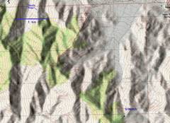
Topo map of the climb. It’s only 4 miles RT, but the route involves a lot of scrambling up and over granite blocks and promontories. |
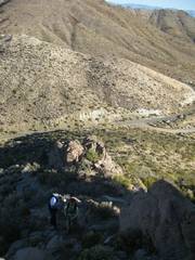
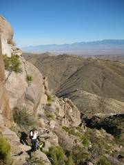
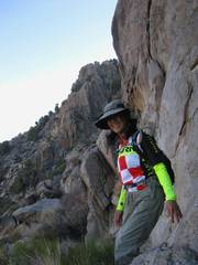
Just starting off—it’s about 9:12AM |
From just looking at the map, I had considered ascending, or running down, this “gentle ridge.” Alas, contour maps with 10m intervals can be deceiving. |
|
|
|
|
|
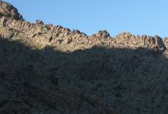
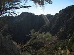
View N, as we sneak around a cliff. We immediately hit a very steep granite monolith on the ridge, traversed high on the E side… |
|
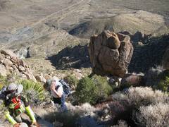
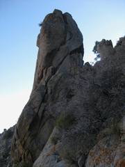
…and found one little break in the cliffs, yielding an exposed class 2+ chute. The “thumb” of rock is an important landmark for the descent. |
|
|
|
|
|
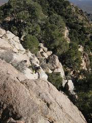
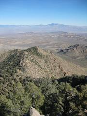
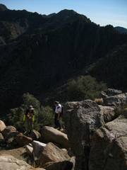
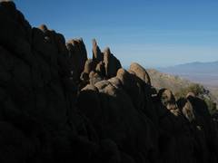
We always found a way around the steep granite lumps that comprise this ridge. |
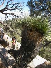
One short cairned route brought us up through a thin crack, and over this giant nolina, which is another good landmark. |
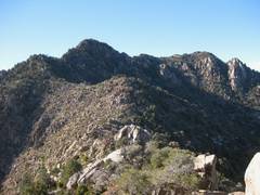
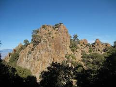
From here, the peak doesn’t look bad; but wait till you are on the L, facing it. On the way back, we tried to side-hill on the L of that lump on the ridge, only find lots of little cliffs, so we cut our losses and went back up the ridge. |
|
|
|
|
|
|
|
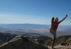
On top! |
|
|
|
|
|
The |
|
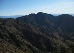
The route from the W looks gentler, but involves more elevation gain. |
|
|
|
|
|
|
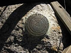
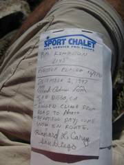
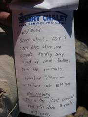
Last sign-in was 6 years ago. |
Mountains of |
|
|
|
|
|
|
|
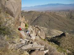
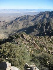
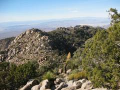
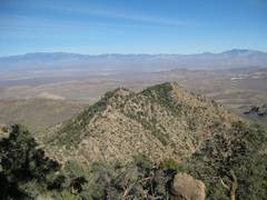
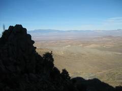
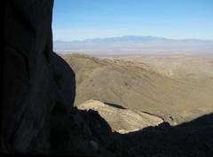
On the way back, when I was no longer worried about route-finding, I began to notice the very pretty scenery. |
|
|
|
|
|
|
|
We’re coming down the chute on the E side, looking up at the “thumb” of rock that is a good landmark from above (Gina suggested it was another body part). |
|
|
|
|
|
Cory has gotten the bright-shirt bug! |
Once again we sneak around the E side of the low ridge. Now we are grateful that the sun is on the other side. |
Cory didn’t see the T Rex on the ridge. |
|
|
|
|