|
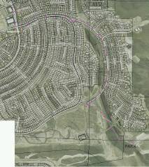
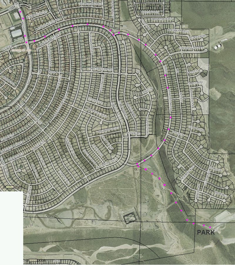
Aerial photo, showing streets to water retention basin. |
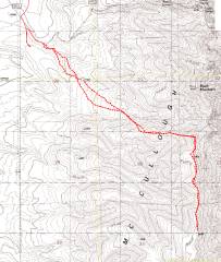
GPS trace. The hardest part of this hike is actually the low-elevation travel through the wash. |
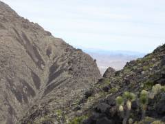
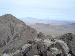
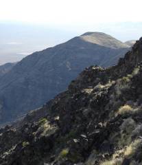
View NE as I approach the col between Black Mt. (to left) and an unnamed peak (to right). The unnamed peak had a windbreak and cairn on top, but I found no register. |
|
|
|
|
|
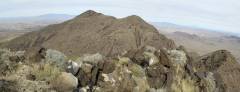
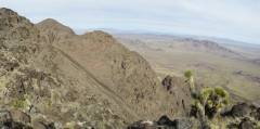
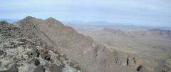
View NE from the first unnamed peak. Black Mt is at center, the Blacks Hills and Railroad Peak are at right. |
Same viewpoint. |
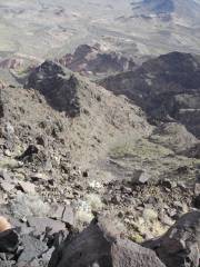
Looking down to the E; the terrain drops off precipitously. |
|
|
|
|
|
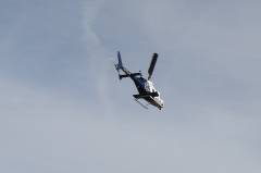
A helicopter flew from the W, close overhead. The copter has a medical-rescue symbol (flight-for-life); perhaps it was coming from a wreck on I-15. I think the pilot saw my bright yellow shirt, and chose that path for the fly-over. |
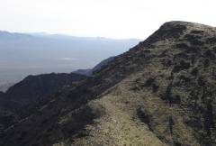
Looking back N, after traversing south past the first lump. The slide on the east seems to go all the way to the base, but would make for miserable footing. |
From the 2nd lump, looking back NNE over the shoulder of Black Mt, with Vegas and Henderson on right. |
|
|
|
|
|
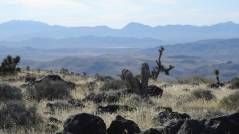
View S from 2nd lump, toward "North McCullough". In the distance at left is Spirit Mountain. |
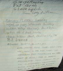
This register had few names, but amazing overkill for materials. The notebook was large, and there were two pencil sharpeners, perhaps 10 new pencils, a pen, and a mechanical pencil with a spare container of leads. Note Howard Booth's history. |
The first entry was from 2000; the last, from early 2004. Note the reference to a route from the east. |
|
|
|
|
|
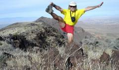
Standard cerebellum check, with Black Mt. in background. I couldn't control my right index finger well that day, so many of my shots were propped on rocks, and used a timer. |
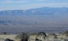
Panoramic view, Red Rock at left, with Mt Charleston and Madre in distance to NW, Black Mt. in center, Frenchman and Muddy Mountains in distance at right. |
View S from North McCullough. |
|
|
|
|
|
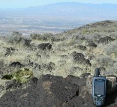
GPS on N McCullough, with Sheep Mts in far background. Elvis the cat poses at left. |
View SW to Devil Peak (center) and Clark on left. |
Another view NW of Red Rock and Charleston. |
|
|
|
|
|
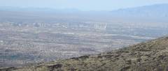
The city. I work here. I carry a badge. |
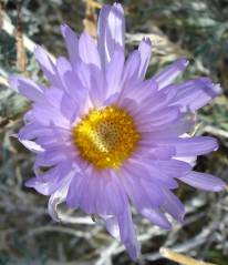
Aster. |
Windmill. |
|
|
|
|