|
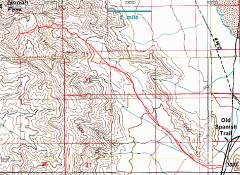
GPS trace (red) on 100k map. |
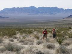
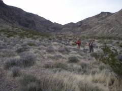
View SE-ESE as we head up the long bajada. In back is Kingston Peak. The Siberian chats about Elvis. |
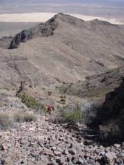
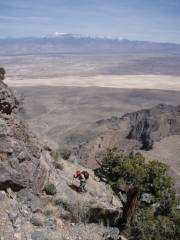
View SE on ascent, after leaving the wash. |
|
|
|
|
|
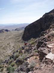
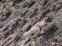
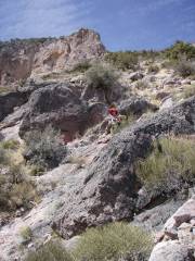
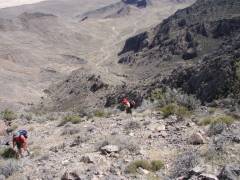
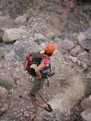
A nasty sidehill. We left the ridge because… |
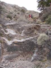
…there was a 40' cliff band (above and left of Luba). |
Lots of Flintstone-bowling-ball talus. |
|
|
|
|
|
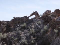
Anteater kissing hippopotamus. |
|
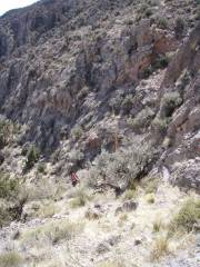
View SE of wash, from whence we came. |
|
|
|
|
|
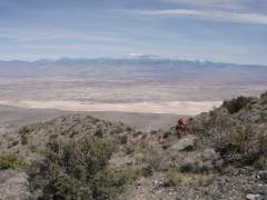
Mt. Charleston in distance. |
|
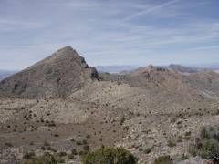
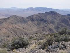
View N, at ridgeline. This is the real Nopah Peak, which is rather sharp. Our destination was the slightly higher Nopah Point to the S (to left, not visible here). |
|
|
|
|
|
|
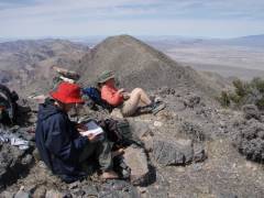
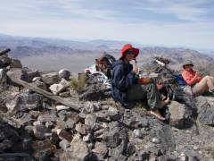
On top, Nopah Peak to N. The DPS log consisted of one small notebook that went back to 1964. |
View SE to Kingston Peak. |
|
|
|
|
|
Earthquake! |
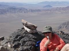
Alda lunches on melted chocolate. Eagle Peak is the dark lump above her head. |
Stewart is in distance just above cairn. |
|
|
|
|
|
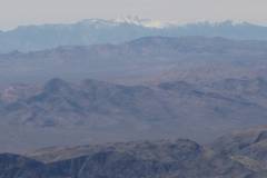
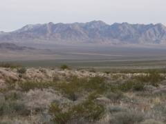
Telescope Peak across Death Valley. |
|
|
|
|
|
|
|
View back NW, descending the bajada. Even though we are 1.5 hours before sunset, the mountains covers us in shadows. |
View ESE as sun sets on Kingston Peak. |
|
|
*Unfortunately, the DPS UTM coordinates do not make sense. However, from the DPS description, it seems they went west onto the ridge much sooner than did we. |
|
|