Mummy
Nose
|
|
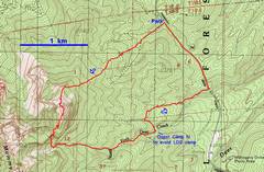
24k GPS trace/ |
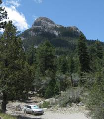
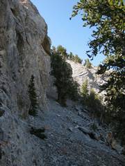
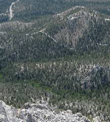
Parking area, just off route 158. The idea is to travel up the forest R of the main peak, and just L of the subsidiary peaklet. |
|
|
|
|
|
|
After reaching the ridge, and staying L of a wall, one reaches this divide, Go R of the rock outcrop. |
|
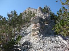
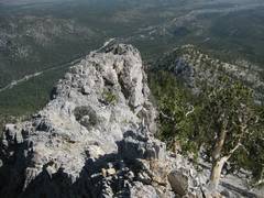
Depending on nerve, it is often possible to climb directly up the serrated ridge; however, the rock is unpredictable and loose. |
|
|
|
|
|
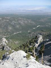
View back N; |
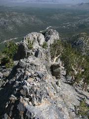
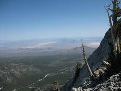
Heading S, it is best to hug close to the wall. |
View N. One can follow a “safe” talus route, or climb directly up a class 3+ face to this point. |
|
|
|
|
|
|
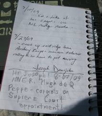
I met the pleasant
Mr. Demijohn on |
|
|
|
|
|
|
To east of the peak, there is an impressive camp lodge built on a knoll. |
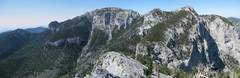
Panoramic view S to
the |
|
|
|
|
|
|
View up. I headed S from the summit, then descended this 20’ wall. Bad idea; there is an easier herdpath on the S side of the Nose. |
OK, now I’m in the pass between the Nose and the Forehead, looking S. I’m about to head L (S) down some very steep scree to the west fork of Deer Creek. |
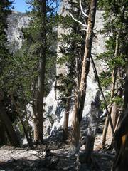
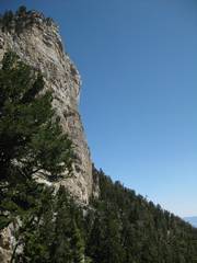
There is no way to capture the sheer cliffs on the E side of the Nose. This is just the lower cliff band. Here the wash was very recently eroded, and quite rough; there were m-deep gullies with steep sides, with fresh live roots across the tops. |
|
|
|
|
|
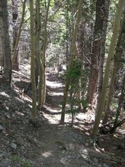
Suddenly a path appeared, after my negotiation of rough wash. |
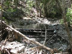
Eventually I hit a flowing stream. |
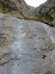
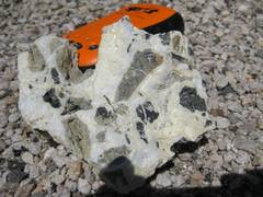
Back along the road, I passed veins of shiny calcite around rock fragments. |
|
|
|
|