Northshore Peak Loop with "Knife Edge"

pics by Harlan W. S.
March 23, 2010


This loop, more-or-less, is described by Branch Whitney. The total distance, with the road-walk, is a bit over 4.1 miles, and the accumulated elevation gain is ~2200’. Of course this trailless hike would be fatally hot in the summer.


The day was windy (gusts above 30 mph), but that condition made the trip pleasantly cool.


nshore

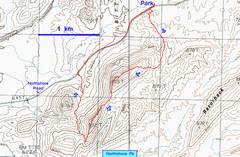
By staying farther east, the initial walk

is of moderate grade and on rock most of the way.

IMG_6962

Northshore Peak looks impressive on

the approach via Northshore Road.

IMG_6963

On the way, one sees the perched

syncline on Murphy’s Peak.
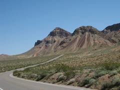


IMG_6886

View, while heading up the gentle east ridge.

IMG_6889

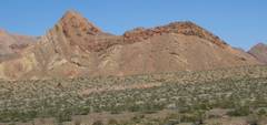
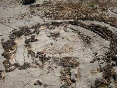
The limestone is full of ring-like

arrangements of chert.

IMG_6896

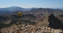
On top, near the cairn.


IMG_6897

IMG_6898

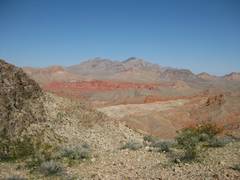
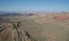
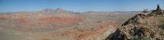
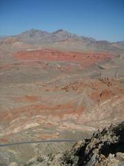
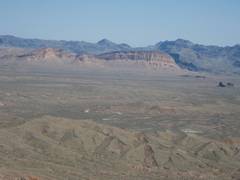
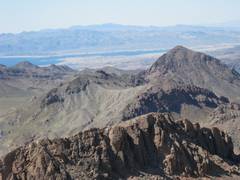
View WNW from summit.

IMG_6908

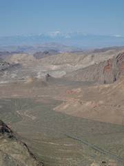
View SW from summit.
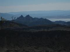
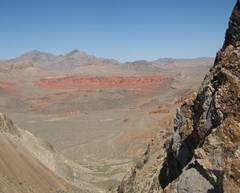


pan02nshor10_6906-09

View N from summit.

IMG_6913

Muddy Range.

IMG_6916

Booth Pinnacle and Pyramid to SE.


IMG_6917

Bitter Range and Longwell Ridge.

pan03nshor10_6918-9

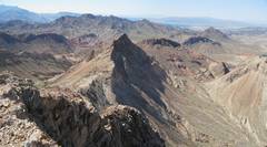
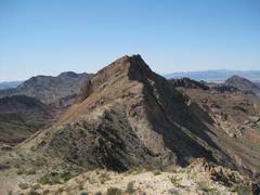
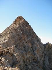
Now I look W to the next sharp peak.

IMG_6925

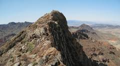
The sharp peak as I descend.


pan04nshor10_6927-9

I turn around and look E to Northshore.

IMG_6930

Sharp Peak.

pan05nshor10_6940-1

Sharp Peak, cairn now visible.


pan06nshor10_6944-5

Back at Northshore.

IMG_6946

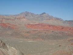
Muddies, Bowl of Fire in foreground.

IMG_6947

Lake Mead to SW.


IMG_6948

Charleston in distance.

pan07nshor10_6950-1

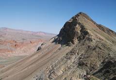
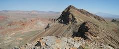
Descending on W side of sharp peak.

pan08nshor10_6953-5


IMG_6958

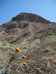
View back at Northshore Pk, near end of desert hike;

these were the first native flowers I saw.