|
|
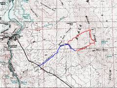
The “hike” begins from the Horsethief Canyon Road. This gravel road (high clearance) begins on US 93, 4 miles SE of Hoover Dam. I managed to get my Subaru Outback to the end of The road. |
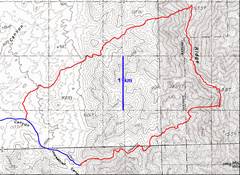
I took the southern route up to the ridge, then came back via the northern (much Easier) route. Whether ascending of descending the N path, it is important to change drainages as shown. |
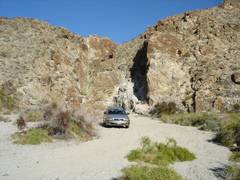
Here’s the parking spot (also a designated BLM campsite) at the end of Horsethief Canyon Road. |
|
|
|
|
|
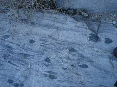
Early on, the hike passes stope blocks of mafic rocks, some stretched and flattened. |
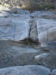
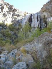
It has been a dry year, yet water is running. Flocks of grouse flew up at least 8 times on the hike, usually near wet areas. |
In many places, the canyon is wet enough to support cottonwoods and cattails. This waterfall is passable on the left side (class 3). |
|
|
|
|
|
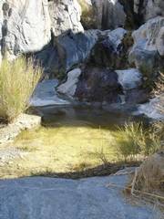
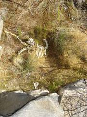
The abundant pools of water attract sheep… |
…some luckier than others. |
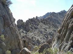
I finally intersect the ridge; the route back S to rough, but … |
|
|
|
|
|
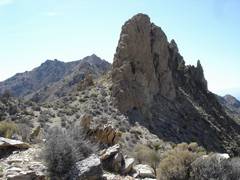
…the route N is even rougher. I first climbed up this fin but found no easy climb-down on the N side. Next I head for the ragged peak to the N… |
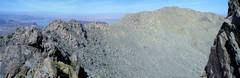
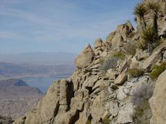
I get a better look N. Naively, I assume that once I am on the “gentler” ridge with the lighter-colored granites, the hike will be easy. |
(Oops. Out-of-order photo. I look back on the first fin I climbed, and concur there was no easy downclimb on the N side!) |
|
|
|
|
|
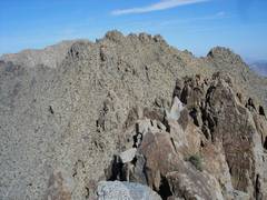
I finally hit granites; that’s snow-capped Then I turn around… |
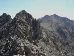
…and view the last two gneiss-schist lumps that I traversed. Could I have walked around the pinnacles? (Not easily.) |
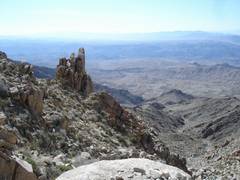
Now on the granite, view S. The “easy” ridge consists of large blocks, with many gaps that are invisible at first. I climbed this block from the S, only to find a gap on the N side and 15-20’ of air. |
|
|
|
|
|
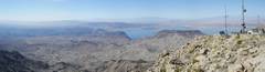
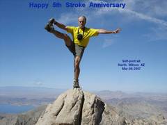
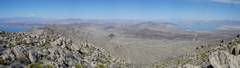
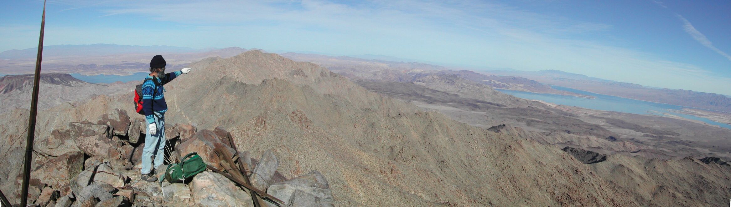
After 2 hours of in-your-face terrain on the ridge, I finally hit the summit, where there is a helicopter-serviced weather and relay station. View NW. By now a thick brown dust-smog
cloud blankets Fortification Hill
and distance; Hoover Dam is at L of lake, barely visible. |
I set my camera on one boulder, clicked the timer, then quickly scrambled to another boulder. |
|
|
|
|
|
|
I decide to drop directly WSW from the summit. This rock index finger pointed the way. Halfway down, I had to cross into the next drainage to the S. |
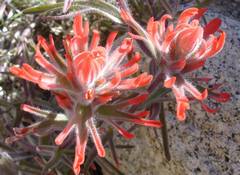
Paintbrush. |
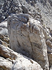
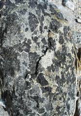
Amphibole-pyroxene rock. |
|
|
|
|
|
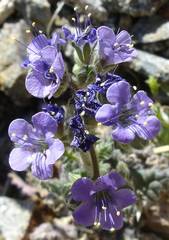
Phacelia. |
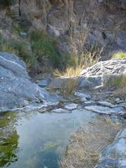
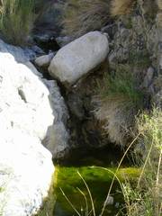
More water on the way down; I found I had to pick “high-water” routes, and got a complete soaker on one foot— not an experience I expected in a dry year in the desert. |
More water. |
|
|
|
|
|
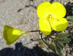
Yellowcup (a primrose). |
|
|
|
|
|
|