|
|
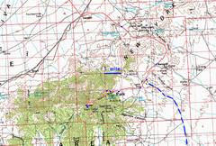
100k map with GPS trace. |
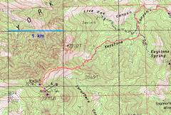
24K map with GPS trace. Points A and B are keyed to photos below. |
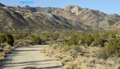
View W on the dirt road into |
|
|
|
|
|
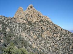
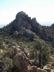
This small sharp peak is actually well below the true summit. |
|
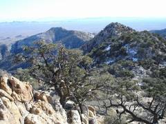
View back ENE over saddle above mine. One comes up from the valley at L. |
|
|
|
|
|
The true summit
across |
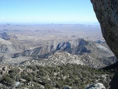
Clark Mountain to N. |
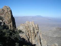
View S to true summit. |
|
|
|
|
|
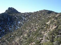
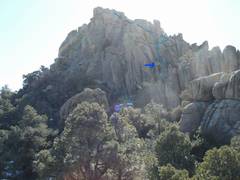
The sharp peak on horizon (center) is |
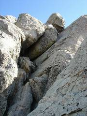
The last chute to the top. This is the top of the “Class 3” chute described in summitpost, but the angle is very different from the SP photo. |
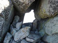
Window by last chute. |
|
|
|
|
|
|
View back down (and to N) of last chute. |
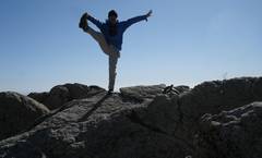
Not much room to back up for a good self-portrait. |
|
|
|
|
|
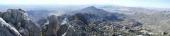
View S. |
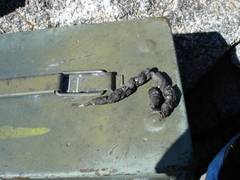
DPS ammo box with a present from a ring-tailed cat. |
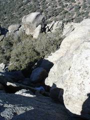
Near point B on 24k map; view back S, after descending. This a separate, lower chute from that shown previously. |
|
|
|
|
|
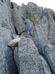
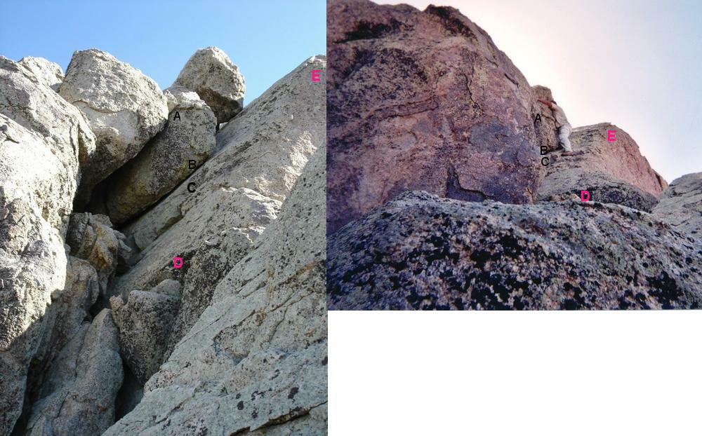
View S from point B in the 24K map. Note balancing rock. |
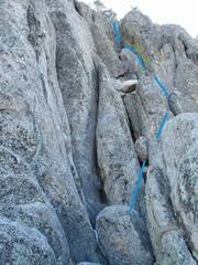
View back S from point A. Note balancing rock. NOTE the blue line above does NOT end at the top of the peak; you still need to cross to and negotiate the last class 3+ chute. |
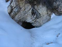
Descending; upper mine adit in snow. |
|
|
|
|
|
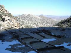
Remnants of mine cart tracks. |
|
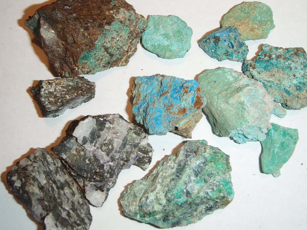
The mine workings have a lot of color in small amounts of malachite, azurite, and chrysocolla. However, it is probable that most of the copper is in duller minerals, such as the cuprite-limonite at upper left, and the tiny amounts of chalcopyrite in the sphalerite-fluorite-calcite mix at lower left. |
|
|
|
|