Harlan W S |
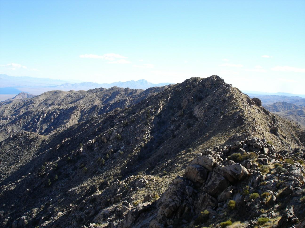
This is not the Ireteba Peak pursued by peak-baggers; it is mile or so to the north. This ridge makes a pleasant walk in cool weather. I've been all along the pleasant ridge to the northernmost 5000' peak. This peak used to be listed as the highpoint of the range on the older USGS maps, based on optical surveys; but when the newest survey came out, based almost entirely on photogrammetry, the southern peak was listed as higher, and is the one sought by OCD peakbaggers. There is a very good chance the new survey, which was never spot-checked on the ground in this area, is wrong; maps made around that time are full of incorrect elevations, even some peaks that don't exist. There are absolutely absurd errors on some DPS peaks, like Little Picacho and Pahrump Point. My long-average GPS measurements suggest the mid peak is at least as high as the peakbagger peak; next time I'll bring an optical level. The rating as "not requiring 4x4" is probably still correct, though the road is rocky and very rough, unmaintained in the last mile or so. Link to trip report for Mid-Ireteba Peak
|
| Ireteba-mid |