Harlan W S |
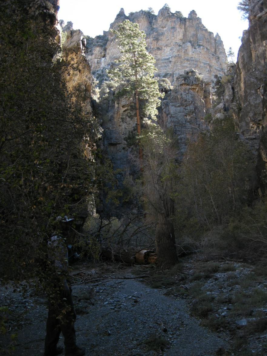
The photo below shows the Quijinump Canyon route, not the summit; this is a case where the route is much of the wonder of the trip. There is an "easier" route from the east, if that BLM road is accessible, and there may be a more direct route from the west, assuming one can find a way around the cliff bands. Access on the west is from the Alamo Road, which generally requires modest clearance, but has lots of sharp rocks waiting to eat tires, especially after the road is bladed. Call the Corn Creek BLM station to find out the status of the White Rock Road; in 2008 it was best with moderate to high clearance, but did not require 4x4. Since this hike is a long ways (in terms of driving time!) from Vegas, it makes most sense to camp at the end of White Rock Road, and get an early morning start. I went originally with Ron and Nick, who split and went to another destination, so I hit the summit alone. I suggested naming the peak after John Vitz, and well-known peak-bagger who had attempted (but not reached) the peak years before. Nick noted there was a mysterious "Big John" peak on some maps; he went to the summit later and left a register with the name "Big John" which could be construed to mean John Vitz. ( ;^)) Trip report for "Big John" (peak 9782', 2nd-highest peak in Sheep Range)
|
| bigjohn2 |