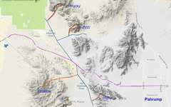
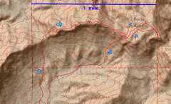
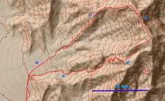
 Overview map of the area. |
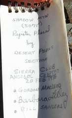
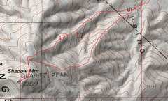 First up was Shadow, Feb 28 |
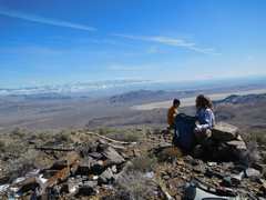
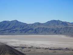
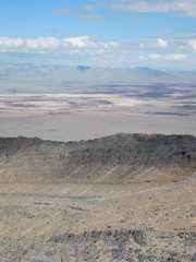
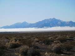 View S across a fog-covered playa, with Nopah and Resting Springs ranges to S. |
 This is the 2nd-highest peak in the Resting Spring range; I planned to go there a few days later. |
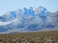
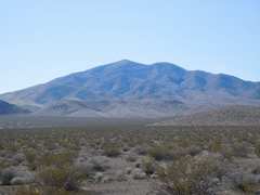
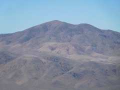
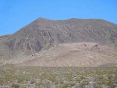
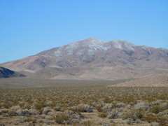 Shadow Mt in morn, still a bit of snow |
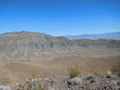
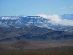 Chance Range to NE |
 |
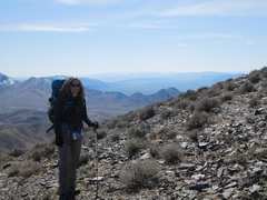
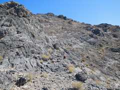
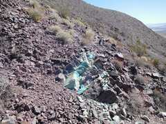
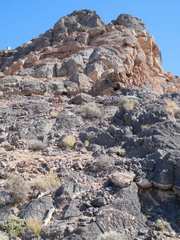
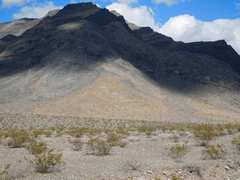
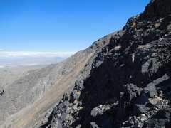
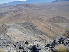
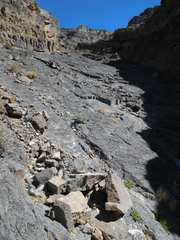
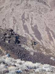 Anji picks a better route. The slides are made of ancient metamorphosed diabase |
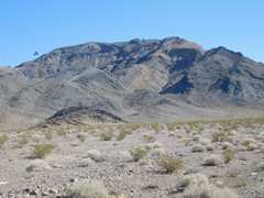
 Nopah Range |
 |
 Telescope Peak to W |
 |
 |
 |
 |
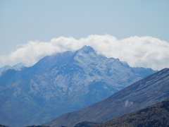
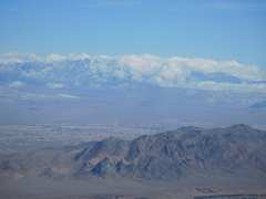
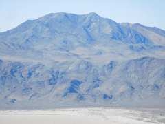
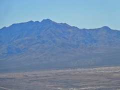
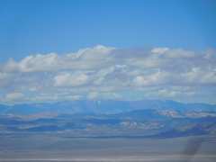
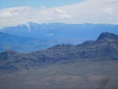
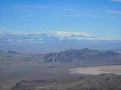 Charleston. |
 |
 |
 |
 |
 |
 View back at Shadow, most snow gone. |
 I started out the day hoping I could drive to the start of a hike up the 2nd-highest peak in Resting Spring. Alas the road was closed, and I started too late for a 15 mile day. What to do? |
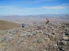
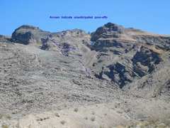
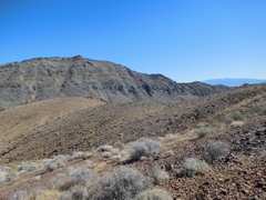 Well, I noticed that High Peak was close, so I started up from the back side, a bit more gain than the front (NE) route. |
 It was basically class 2 |
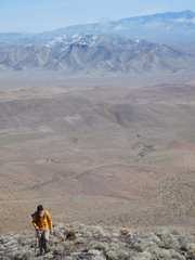
 View SW to Resting Spring |
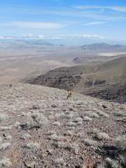
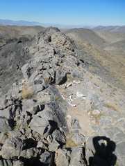
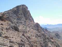
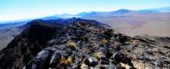
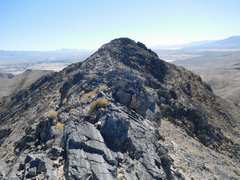 View E along mellow edge to summit. |
 The top |
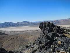
 on top, view E |
 Where I'd planned to go |
 Shadow |
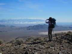
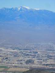 Charleston over Pahrump |
 Same, zoomed out |
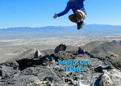
 Tweet tweet |
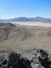
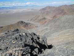
 across playa to SW |
 View W on ridge. Why don't he write? |
 |
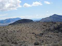
 I'm back closer to road, will head up a lump with enough prominence to be a "peak." |
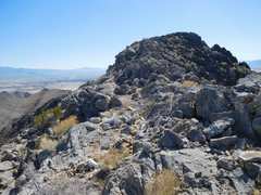
 View back at High Peak from lump. |
 Pahrump Point from lump. |
 I headed straight down W of the lump, over awful talus |
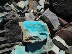 Azurite/chryscola |
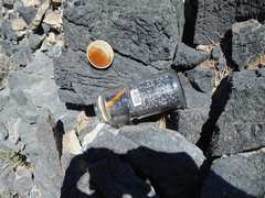
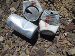 OLD cans. I hope CA doesn't arrest me for having open containers in the car. |
 View back at talus route down lump. |
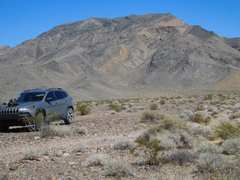
 Anji had mentioned there were several P1K peaks in the area; I saw the name "Rocky" and was intrigued. I was able to drive the good gravel Ash Meadows road rather near the peak. |
 View N on approach. I'll go to that saddle at L. |
 View back ~S to Shadow Mt, from saddle. |
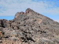
 Now I'm heading E toward Rocky. The rock was very frictional... |
 One could just walk up stuff at 40 degrees |
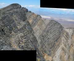
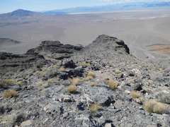
 The ridge was a bit of a roller-coaster |
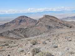
 View to E, Rocky itself looks benign, but there is a valley between us... |
 back W at the one brief class 3 |
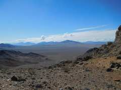
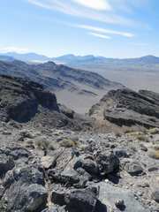
 View S from connecting ridge |
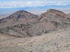
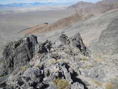
 View back at the peaklets I traversed. That rocky peak falls short of the highpoint by < 50'. |
 First I hit the peak E of the BM |
 Now I've traversed W to the BM, view E |
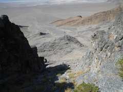
 I ll head back the way I came, but drop L off the ridge |
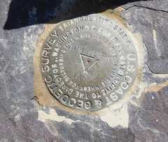
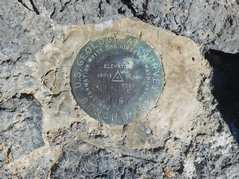
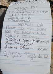 BM register |
 View N |
 |
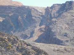
 I came down the Steep talus |
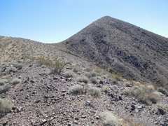
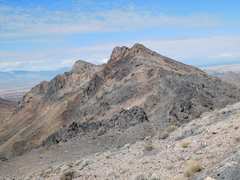
 I then drove to Peak 4355 to scout the road. Hmmm, looks harder than I thought. |
 A few days later, after a good relatively quiet night, I headed for peak 4355' |
 View from SW, my route. |
 On the way N, I spotted a possible descent, but later missed the turn. |
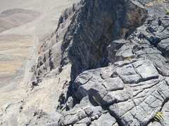
 View E on the W ridge. I stayed on the rock, mainly class 2-3, to avoid loose talus. |
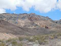
 View back NW to Rocky BM at R. |
 |
 |
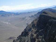
 View S. |
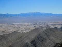
 Charleston. |
 |
 View SSE |
 View E to ridge that might go, but a view from bottom showed there may be cliff bands |
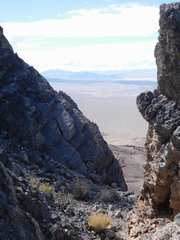
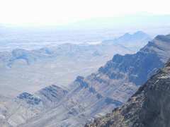
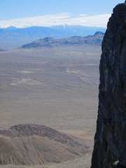
 View down S, along east face of 4355' |
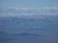
 Charleston Peak on skyline |
 View back to true summit from SE summit |
 Now I'll head down between those 2 lumps. The potential route I'd seen earlier is to R. |
 |
 This descent was a bit more complicated than I expected; I kept cliffing out. |
 I'll switchback several times to avoid cliffs, and eventually go L of that lump. |
 View back mild ramps at base of canyon |
 View back at route |
 End. |
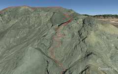 Google Earth synthetic of descent. |
||