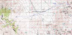
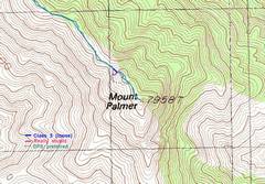
 Overview map showing the relationship of the NV-CA border, Beatty, and route 95. |
 I went up Palmer and Grapevine on April 24, Wahguyhe on the 25th. The first two were an endless series of up-and-down travel over intermediate bumps. |
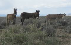 I saw a few burros on the Phinney Canyon Road. The road was drivable in my 2003 Outback (7.3" clearance), but I had to be vigilant and drive with one wheel on the edge at times, as the birm in the middle of the road is high at points between 9 and 22 miles in. |
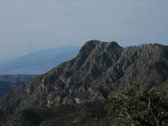
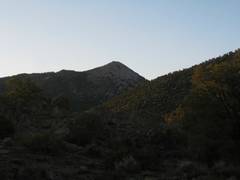 Morn of April 24, about 7:10AM, 1st view of Wahguyhe. |
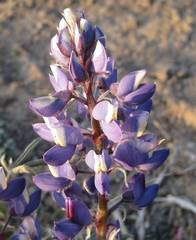 Interesting purple-and-white lupine. |
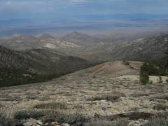
 Starting up (S) from the pass at 7580'. |
 |
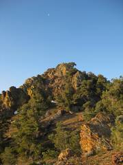
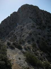
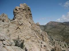
 1st view of Palmer. |
 Nearing Palmer. |
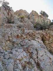
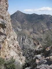
 Just below the cliffs on Palmer. |
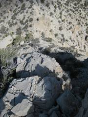 View down from the rib that I foolishly took up the W side. |
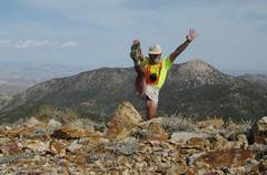
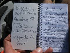
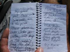
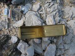 The ammo box was completely empty. |
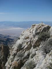
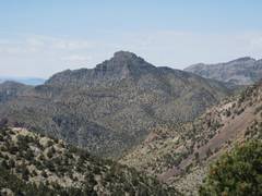
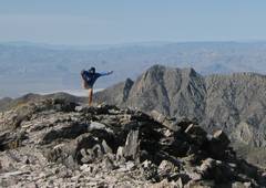
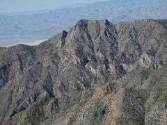
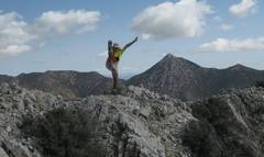 ...so I have to prove I was there. Wahguyhe is the pointy peak to R. |
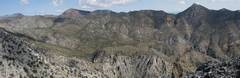
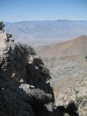
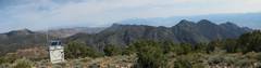
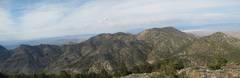
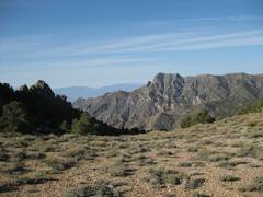
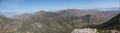
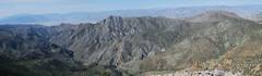
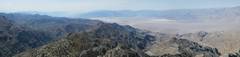 Panoramic view ~SSW. |
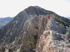
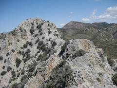
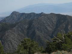
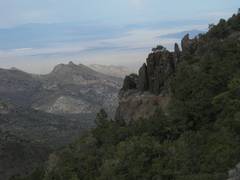
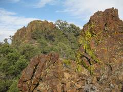
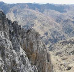 The E side of the peak is rather rugged. |
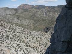
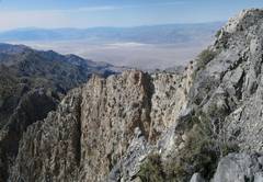 View SW from eastern part of summit. |
 Panoramic view ~NE; Grapevine is the lump at L, Wahguyhe is the pointy peak at R. |
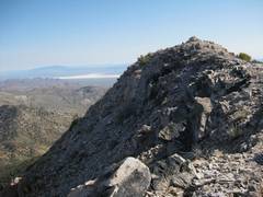
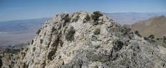 View of the summit. |
 |
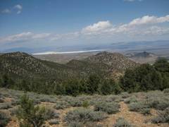
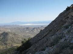
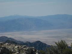 View SW, with Telescope Peak at L. |
 |
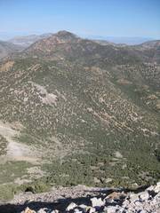
 View of Grapevine. |
 I came down the class 3 loose chute; view back up the chute. |
 Heading back from Palmer; I'm trying to show that route was not an easy ridge walk. |
 |
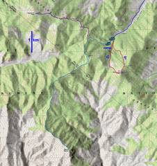
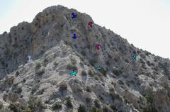 I'm back at the N base of the cliffs, showing the routes (see next map). I went up the rib (magenta arrows); class 4/5, not recommended. The cyan arrows show a class 2+ bypass. |
 |
 |
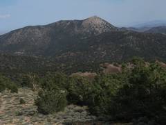
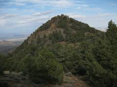
 Wahguyhe. |
 Interesting peak to the NW. |
 |
 |
 Suddenly, I'm on top of Grapevine! View SE. |
 |
 |
 |
 I'm standing, no kneeling! But I couldn't position the camera well. |
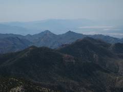
 View ~N from Grapevine |
 Back at Palmer. |
 Wahguyhe to E. |
 View NE. coming down meadows. |
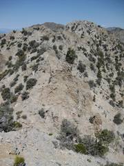
 One of the many rough lumps on the walk to Grapevine. |
 Another lump on the way. |
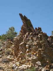
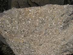
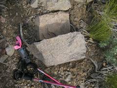 A surprise-- felsic intrusive. |
 |
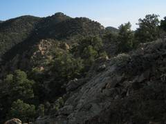
 Rough territory. |
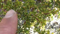 The tops are covered with this (bitterbrush) and pinyon pine. |
 More of the convoluted way back. |
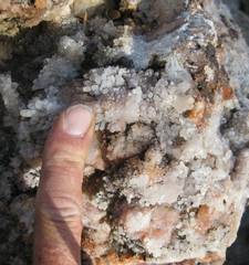 Vuggy rock filled with quartz crystals. |
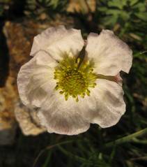
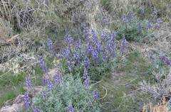 More lupines. |
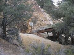 Mine across from my camp spot. |
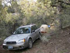 Home sweet home, a small pull-off at 6800' on E side of road. |
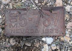 Next day, I start up Wahguyhe. Life was rough in NV during the Depression, and lots of marginal mines were started. |
 View SW from pass just E of Wahguyhe. |
 The route up was over coarse, steep talus (view NE). |
 The top! |
 |
 |
 Palmer from top. It was too cold and windy for a good balance. |
 Pano view NW. |
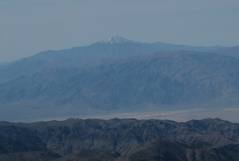 Telescope to SW. |
 |
 Palmer again! |
 Corkscrew and Thimble to S. |
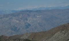 Sierra to W. |
 Grapevine to NW. |