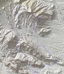
 I got 13 miles on the GPS for the loop, and my little side excursions. |
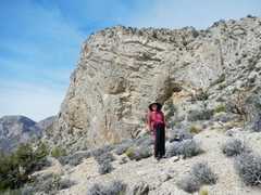
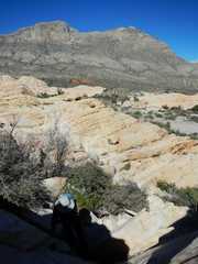
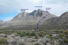 View of Pincushion Peaks to N, as we start across Brownstone Basin. |
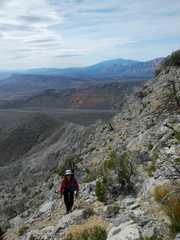
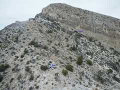
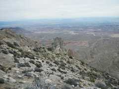
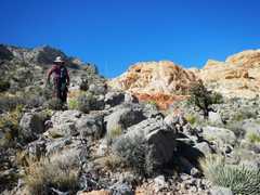
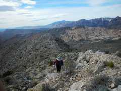 View SSW as Kay starts climbing up the ridge. |
 |
 |
 |
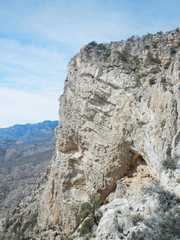
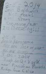
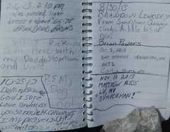
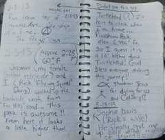
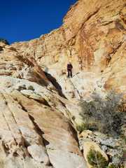
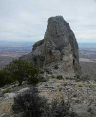 Pincushion Pinnacle, named by Jim Egan; it sticks 100' above the saddle. I'll be there shortly. |
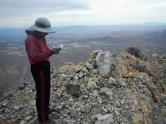
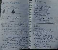
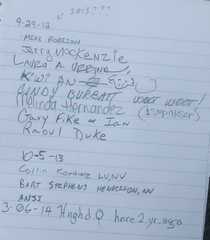 The register. I actually signed 2013 by mistake, but I corrected the jpeg, so I hope that's OK. |
 View back at Kay, from top. |
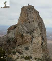 Mysterious one-legged man on Pincushion Pinnacle. Photo courtesy Kay K. |
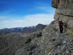
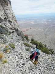
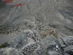 View down to E as I descend. |
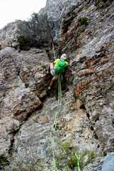 Harlan raps down using 15mm webbing, a swiss seat made from 3.5 oz webbing, and carabiner with munter hitch. Photo courtesy Kay K. |
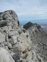
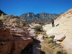
 We continue to the next peak (6792'). View back at Pinnacle, which now seems quite small. |
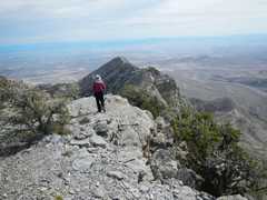
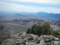
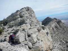
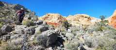
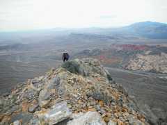 View SW as Kay tops 6792' peak. Calico and Graycap are across Brownstone Basin, with Potosi in the distance at R. |
 We will head across the tan sandstone later in the day. |
 |
 Now we head NW to 6977' peak. |
 |
 View SE back over 6792'' peak. |
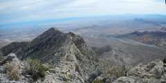 |
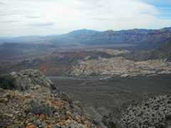
 More views SW from 6977' summit. |
 |
 |
 |
 |
 View SE as we continue to travel NW along ridge. |
 |
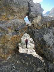
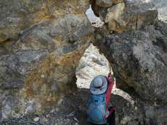 Kay explores the mini-arch WNW of the main peak. |
 |
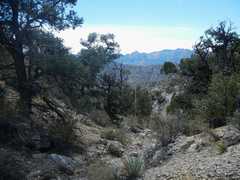 We then head SSW down a drainage into the N part of Brownstone Basin. The pointy peak in the distance is Bridge Mt. |
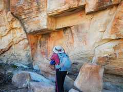
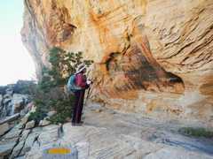 Now we've crossed the basin, and Kay views the pictographs. |
 |
 The Pincushion Range is seen to the NNE as we climb the tan sandstone out of the basin. |
 El Padre and La Madre (R) to N. |
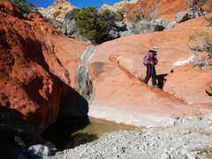
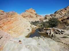 Lots of small water pockets. |
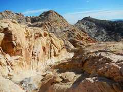 The return route is pretty and convoluted. |
 |
 |
 |
 |
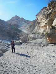 Finally, back in Gateway Canyon. |
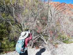 Redbud tree. |
 FB memories from 2012! |
||