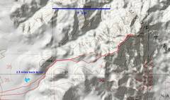
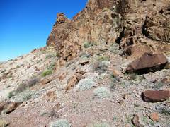
 The hike from the west is easiest; the road (Golden Rod Snyder, no sign) requires at least 7" clearance and cautious driving due to recent washouts |
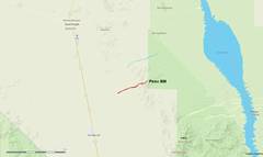 Context |
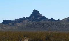
 Pinto as seen from Devil's Thumb |
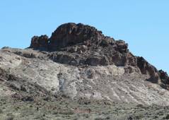
 Real Devil's Thumb to SE |
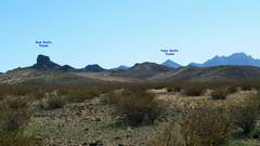 In 1990, the Board of Geographic names inexplicably (without reference) assigned the name "Devil's Thumb" to the conical peak in back. I suspect the looked for the peak (indicated by locals) on the USGS map, which is in error (it cuts off the upper cliffy part of the mountain), so assigned the name to the fake Devil's Thumb. |
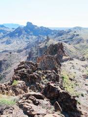
 The terrain is a mix of smooth and rough. It's a pluton cut by feeders for Miocene volcanoes. |
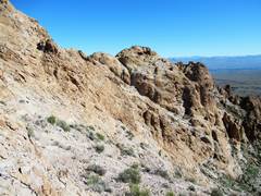
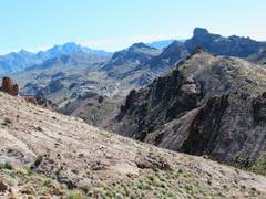
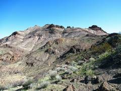 It looks class 1, but the actual BM peak isn't visible in this shot, and there are hidden deep valleys that require elevation loss if you want to avoid class 3. |
 |
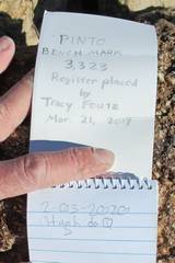
 The actual benchmark peak. There is an azimuthal benchmark on a previous (more western) peak, which is actually 2' higher according to the PID for Pinto BM. |
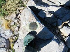 Not the "real" benchmark, but this peaklet is actually ~2' higher. |
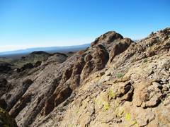
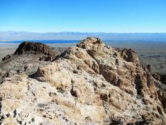 The originally benchmarked peak. As near I can tell, there is one brief 3rd class section required for the summit. |
 Spirit Mt at L, Real Devil's Thumb at R. |
 Real summit |
 |
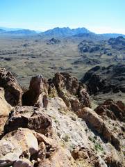 |
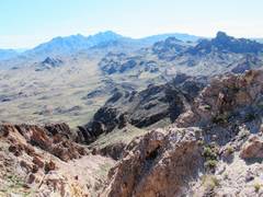
 There is a valley, bounded by cliffs on west side, so one cannot simply follow the ridge to the true survey point (view west). We're are looking at the peak with the azimuthal benchmark; descend off the NW side of this peak and wrap around the N side. |
 I think this broken eroded dike may be related to Devil's Thumb |
 "C" indicates the mystery cairn. One can climb onto the brown ridge at this point; I went L a bit. The alternative is lots of elevation loss on class 2 talus. |
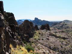
 Surprisingly complex country |
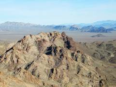
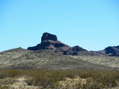
 Copper Peak |
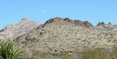 slight moon |
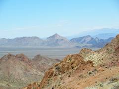
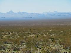 Hart Peak at L, Castle CA at R. The desert was easy walking. |
 Devil's Thumb again. Light area on left of face is area of our ascent a while back. |
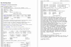 PID, with details about west peak being higher. |