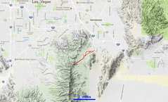
 The general area is just S of Las Vegas NV. Take E Horizon Ridge Parkway S, till it turns to the dirt Dutchman Pass Road, and park near the BLM road closure. |
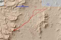 I was able to walk quickly on bike trails and in washes. |
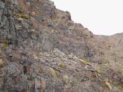
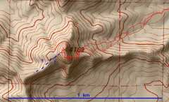 The GPS didn't get good position fixes east of the summit. I took the same route above the 3800' contour, both up and down, but the track appears varied. |
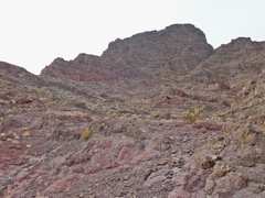
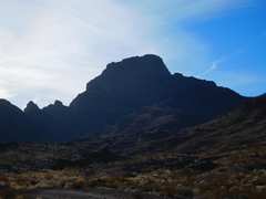
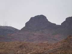 You can see the peak from the TH. The upper section seems to be made of basaltic andesite flows and airfall. |
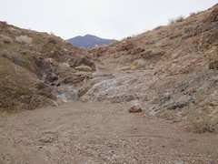 Several small dryfalls stop the less serious 4x4s from going up the wash. OPV travel is not legal in this area. |
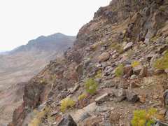
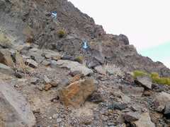
 I'm a lot closer to the peak, and you can see my approximate route. |
 I'll break through to the next bench at about the middle of the photo |
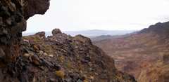
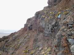
 One of the slanted benches I took; big drop at L. I go R around the corner... |
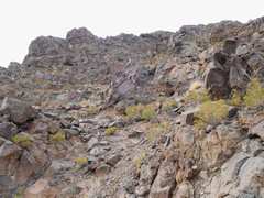 ...and start climbing up this steep. loose gully on SE side of peak. At top of the gully... |
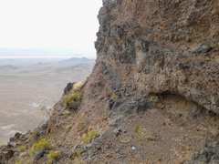
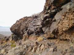 ....one turns a dicey corner, heads NW, then heads N up this cut. |
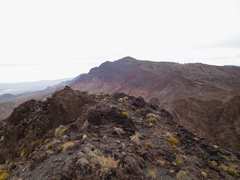
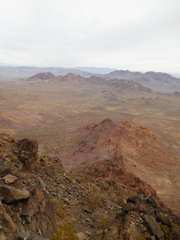
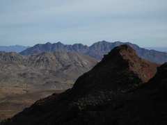
 View to Railroad Peak from top |
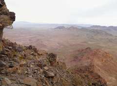
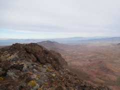 View NE |
 Peak doesn't get many visitors |
 View to Black Mt |
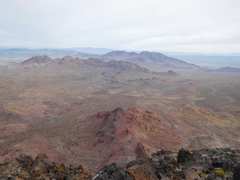
 More panoramic view with Arden Peak at R |
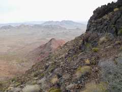
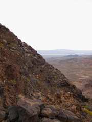 I wandered around the W side, to about 80' below the top. Here I'm looking SE across the S slope |
 Now I'm heading back down, need to head left and descend... |
 ...around this |
 this seemed like one of the diciest moves on ascent, but seemed easier on way down. |
 the alternative I DIDN'T take |
 Once more, I must head L |
 |
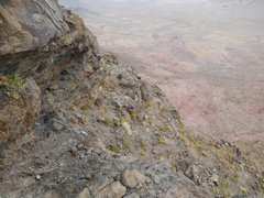
 Now I'm looking down, just above last break in cliffs |
 |
 View back at route |
 |
 |
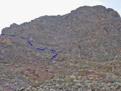 Another view of route |
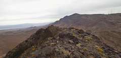
 Railroad Peak in back |
 Nice little gully on way back |
 One last view back |
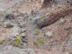
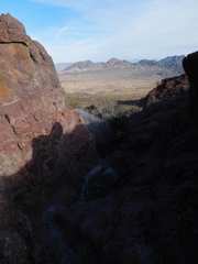
 The washes are full of desert tortoise burrows; these were likely collapsed by rains, but I can see why BLM doesn't want people driving back here |
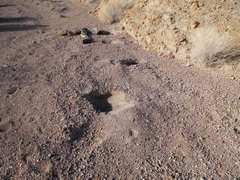
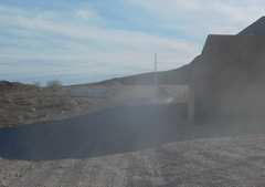 This is where I parked. The concrete barrier at left has a clear "no motorized vehicles" warning, but appears to have been pulled aside, and ATVs go here at will. |