Pahrump Point, CA

Pics by Harlan W. S.
April 8, 2006

Here's CP's Summitpost description of this DPS summit. To reach the traditional "trailhead" from Vegas, take 160 west to Pahrump, and take rte 372 SW for 7.7 miles to the NV-CA Border. At this point the road becomes rte 178, which is taken an additional 8.6 miles to a very faint, slightly downhill dirt road on the left (east). The traditional trailhead is at the left side of the red GPS track in the map below. However, if you felt like cutting across the sparse desert, you could actually start the hike about 200' higher, following the magenta dashed line on the map. The most difficult problem is to find one of the several slight turnoffs from 178, as the road is raised above grade much of this distance.

GPS files (USE AT YOUR OWN RISK) at end of page.

The red GPS route follows an old road for ~2 miles; hardy 2wd vehicles used to drive this road. However, in the early 90s, the road was posted with a tiny, almost unreadable sign declaring a wilderness area, no motorized vehicles allowed. Drunk drivers with guns still go up the road, but hikers park near 178, at the wilderness sign.

The summitpost description, and the description in Andy Zdon's book, are good. I would add that you are likely to miss the large dryfall (i.e. not see it) if you simply follow the cairns SE up to the saddle, once you leave the wash. The "saddle" isn't much of a saddle; it is really a nearly level point on a ridge. Once on the ridge east of the saddle, the two "notches" one must pass through are defined by small rock promontories on the left, perhaps not more than 10' high.

Dangers: this is a trailless route that would be deadly in warmer weather. If the DPS route is followed, the trip is essentially all class 2. However, the greatest danger is in the loose chute, after the two notches on ascent; this chute is full of rocks weighing hundreds of pounds, which are ready to tumble with the lightest touch. On descent, it is best to come down the first 200' of chute individually, then wait in an alcove at west, till the entire party descends; then spread out parallel to descend the rest of the chute back to the notch.

Photos: I used low-quality jpeg compression, to save server storage space, so the reds tend to bleed.

Click on any image below to see the larger corresponding photo.

ppmap

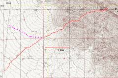
GPS route (red) with pink suggested alternative.

P4080063

View SW, about 4200'.


P4080068

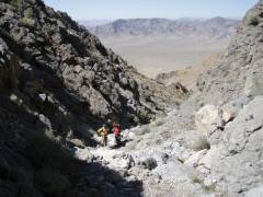
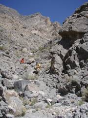
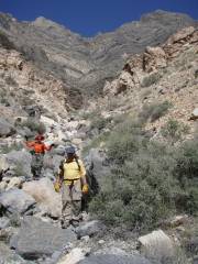
This is the last "right" leg of the wash, before one comes to the large dryfall.

P4080081

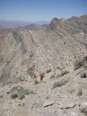
View NW as Luba and Ali climb out of the wash; ~5050'

P4080082

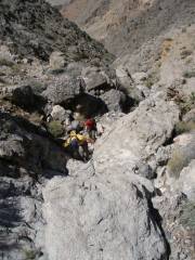
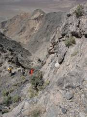
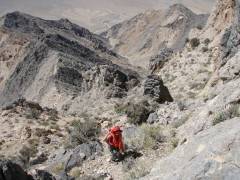
View WNW. Luba and Ali are going through the first notch. I (the photographer) am not on the "trail", but up on the cliff wall


P4080095

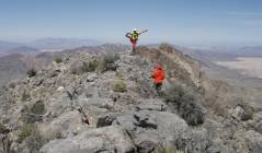
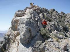
View WNW. We've gone through the 2 notches, and are back on the ENE-WSW-running ridge.

P4080103

P4080109

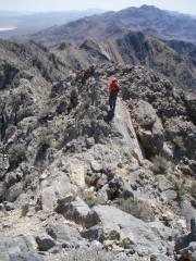
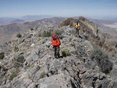
View WNW. The ridge steepens as it meets the main N-S ridge.


P4080110

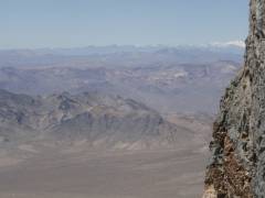
View NW to snow-covered Telescope Peak.

P4080111

P4080117

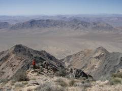
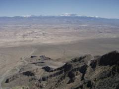
View NE of Charleston Peak, after we crest the main N-S ridge.


P4080119

P4080131

View S. To right above Luba's head is Nopah Peak.

P4080141

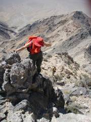
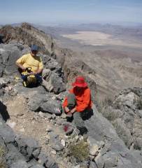
Standard cerebellum check.


P4080158

P4080162

Descending, view N.

P4080173

View N. The west side of the peak is a substantial cliff.


P4080181

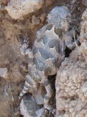
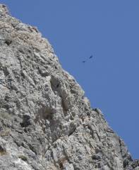
Ravens kept swooping at us, but they never stayed long enough for a good photo.

P4080185

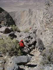
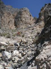
View E. This is the loose chute described in the summitpost article. One cuts a bit to the right for ascent.

P4080187

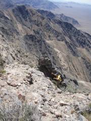
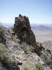
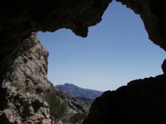
View W. This pinnacle defines the second "notch" (the pass immediately to the left). Note the cave and window.


P4080193

P4080196

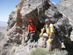
Luba and Ali by rock lump defining the 2nd motch. View N, so the "notch" is actually to the right now.

P4080203

View W on descent.


P4080207

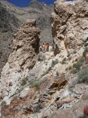
View ENE. The cairned trail goes through this notch, but one can as easily go W through the stream. This rough path may have been meant for a mule trail.

P4080213

P4080217

At the point where the dirt road ends.


GPS Files -- use at your own risk!

PLEASE, Please, Please note these are relative to WGS84.

Just track as 430-point txf file. You can upload this to a GPS with G7toWin.

Track, some waypoints for drive from Vegas and hike, in gpx format.