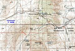
Pa's RumpBetween Las Vegas, NV and Pahrump, NV. Harlan W. S. |
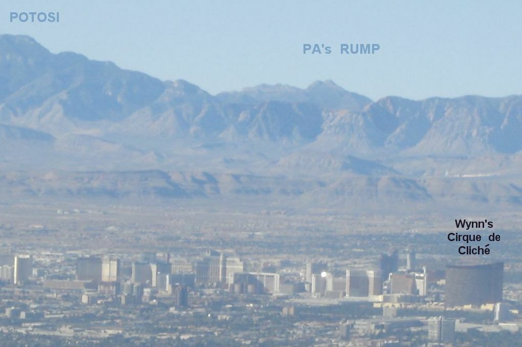
Here's Pa's Rump, far away to the west, as seen from the top of Frenchman Mt.:
This was another peak on my "obscure places" list. I've been curious about this summit for years; it is quite impressive from the west, abruptly rising 3000-4000' above the Pahrump Valley. I fully expected to find the names of Ed F. and Jim E. in a register on top. Alas, no register.
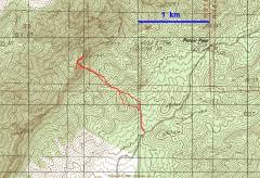
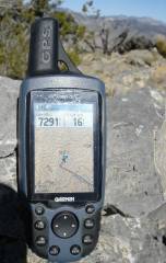
The start of the hike was only 30 miles from my house, most of the travel on 60-65 mph roads. You could, in fact, take a HCV up a rough road to cut off the first 0.2 mile and 150' elevation gain. Even from the "main" road, travel to both rump cheeks yields only 1565' accumulated elevation gain, with barely more than 1.2 miles of hiking each way. I was at the peak top about 35 minutes after leaving my car.
I parked just over the border on Forest Service land. Just north of the FS land is Clark County "recreation dept." land, with the signs that claim access is only by reservation (? maybe land being prepped for another golf-course developer?). Just north of that is private property.
One could possibly mount the ridge from Potosi Pass, and travel all the way down over the wilder peaks to the south. However, the dominant cliff band makes it difficult to mount the ridge. When traveling up the route shown below, stay south in the ravine between the two peaks (except at the one section shown below), else class 2 will quickly become class 5.
One final warning, lest I make this ascent seem too trivial: the ravine between the peaks is very steep, and has some very nasty talus. This isn't the sort of talus you ski down; it is more like equant Flintstone baseballs, and each descent step is an invitation to a face plant.
|
The parking spot is 3.7 miles down the gravel road from SR 160. |
|
|
|
|
|
|
|
From L to Right: Charleston, Griffith, Mummy and Harris. |
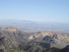
Windy Peak on left, Vegas in middle. |
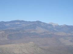
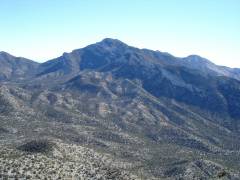
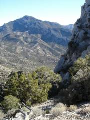
Potosi from Pa's Rump. |
|
|
|
|
|
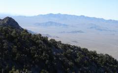
Kingston Mt, CA in distance. |
Pardon the extreme close-up, but I couldn't back up! |
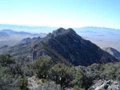
Now I'm on the southern peak, looking N. The cliff on the east side blends in with the background. |
|
|
|
|
|
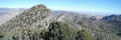
Panorama View ~SSW. Clark Mt is in distance at left, Kingston is at right. The southern peaks of the range, though lower, look much wilder. |
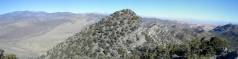
A wider pano to the N, from Charleston on L, to Vegas on R. |
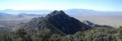
Another view S. |
|
|
|
|
|
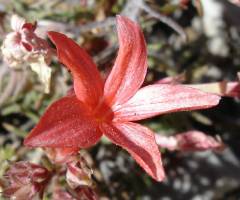
The season's last scarlet Gilia's? |
View of Potosi, as I descend. |
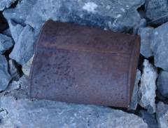
The fate of the register? This can looked out-of-place at the top of the very steep section. |
|
|
|
|
|
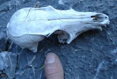
Fox skull. |
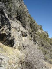
View N across the one iffy section, about 8-10'. It isn't bad going up, but coming down, be sure to check for good handholds, then feel for foothold with your feet. When ascending, go south after you get past this section. In general, try to stay south in the ravine between the peaks. |
|
|
|
|
|