|
|
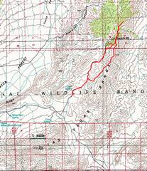
100k map. We went clockwise on the loop portion, up the ridge and down the wash. |
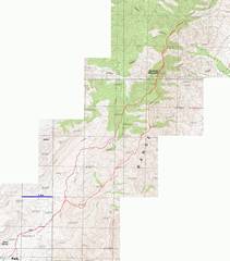
24k map with GPS trace. |
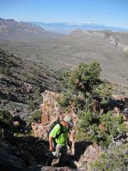
We leave the wash and top the first ridge. |
|
|
|
|
|
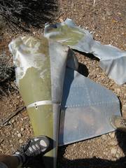
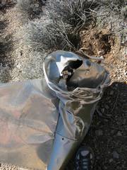
This appears to be part of a fuel tank jettisoned from a military plane. |
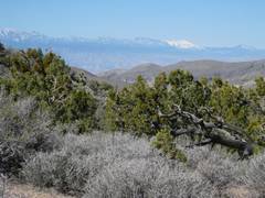
White, snowy
mountain at R is |
Note drain plug. |
|
|
|
|
|
|
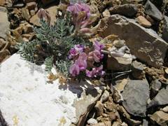
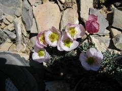
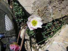
A vetch (legume). |
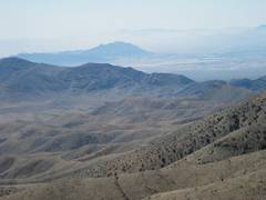
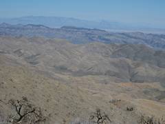
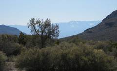
Frenchman Mt and dusty N Las Vegas. |
|
|
|
|
|
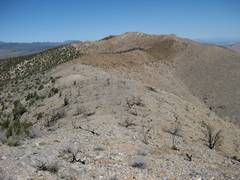
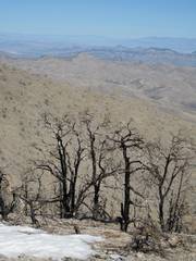
We hit the burned part of the ridge. |
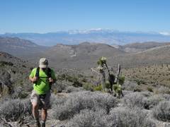
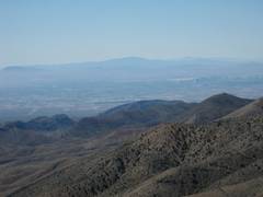
Last view across Vegas valley. |
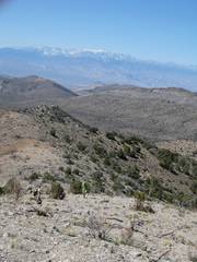
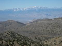
SW to snow-covered Spring Mts. |
|
|
|
|
|
|
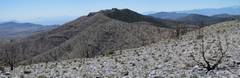
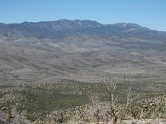
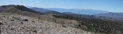
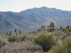
At 7000’ on burned-over ridge, view of Quartzite. |
View S to dusty |
|
|
|
|
|
View N to the peak; photo by MAH. |
View back S, Frenchman Mt in dusty distance. |
|
|
|
|
|
|
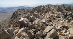
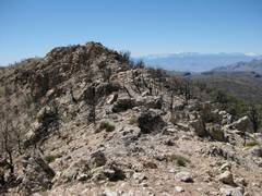
View N – the top of the peak is surprisingly rugged, with big quartzite blocks. |
Old bottle – possibly from benchmark survey crew. View N. |
|
|
|
|
|
|
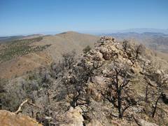
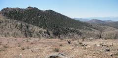
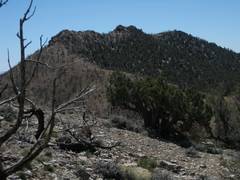
View N to my next goal. |
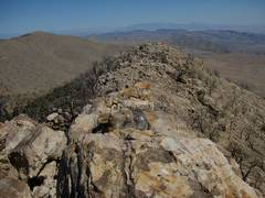
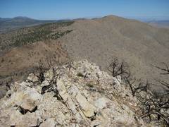
View back S over Quartzite, showing the juniper-pinyon mostly untouched on the NW side of the peak. |
Above 7000’ again, view back S to Quartzite. |
|
|
|
|
|
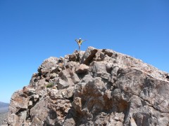
On the northern peak. |
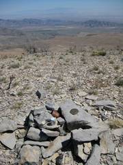
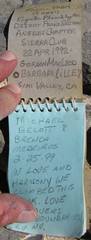
A MacLeod-Lilley register! |
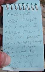
USDA helicopter visit, probably checking out how well the area recovered after the 2006 fire. |
|
|
|
|
|
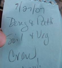
More USDA helicopter visitors. |
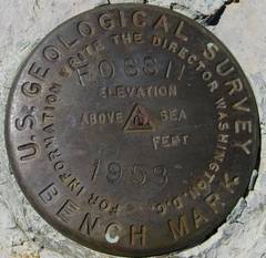
The USGS crew probably prestamped the benchmark with their starting location near Fossil Ridge, the nearest mapped feature, hence the odd name. |
|
|
|
|
|
|
|
The |
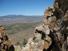
View off N side of “Fossil Benchmark”. |
|
|
|
|
|
SW from “Fossil Benchmark” |
|
Approaching |
|
|
|
|
|
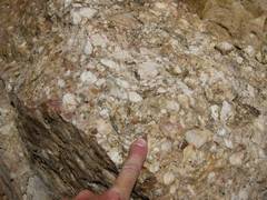
The “quartzite” is probably the Ordovician Eureka Q, actually a well-indurated sedimentary rock. |
The route down the
wash is rather long, gentle, and a bit boring. In our case there were
frequent views of the snow-filled avalanche chutes on |
|
|
|
|
|