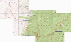
Point
9782 &
|
|
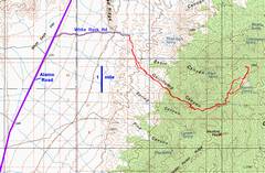
100k map. The Corn Creek |
24 K map |
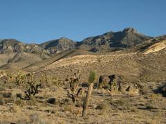
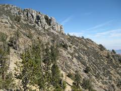
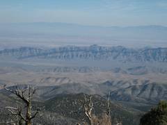
View E from the campsite, Saturday eve. Peak 9782 appears as a rather non-descript lump right of center. |
|
|
|
|
|
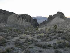
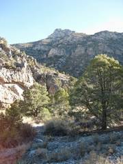
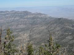
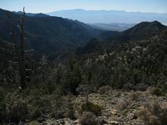
Early morn view WNW down to mouth of |
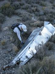
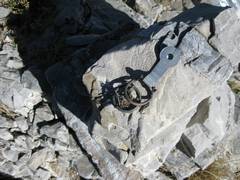
On the way, we see one of the Air Force radar targets dropped on the range. There is a similar wreck on Yucca Peak. |
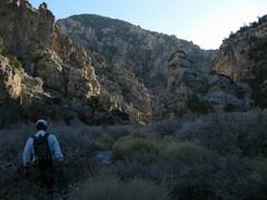
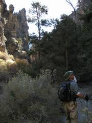
We are finally forced down to the canyon, and the walking eases. |
|
|
|
|
|
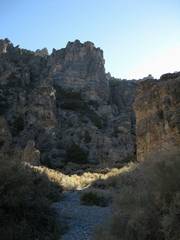
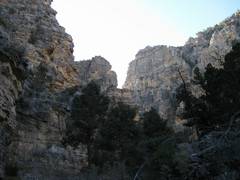
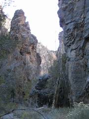
The next few slides show the steep wall, carved in fantastic shapes. |
|
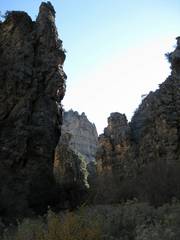
The walls get too high to photograph. |
|
|
|
|
|
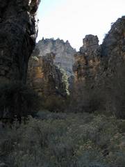
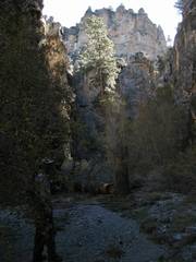
The canyon contains white fir and ponderosa, as low as 6500’. |
|
|
|
|
|
|
|
|
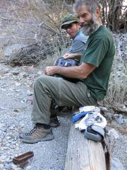
Nick finishes an old can of kippered herring. |
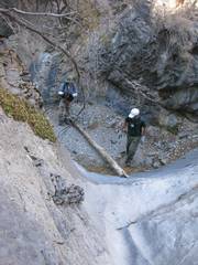
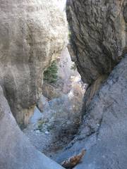
One of the slick dryfalls. |
|
|
|
|
|
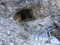
This appears to be an old prospect. Note the relatively “fresh” brown color of the rock, the squarish profile, flat bottom. |
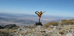
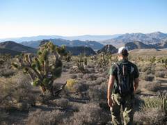
OK, now I’ve diverged from my comrades, and am looking up at one of several lumps on the way. |
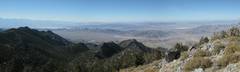
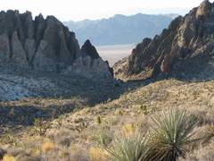
Panorama W from 9782. |
|
|
|
|
|
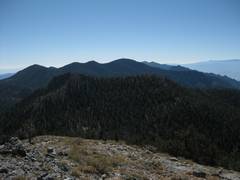
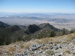
View S to Hayford. |
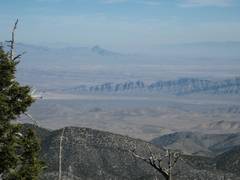
View E to Moapa |
Ram
|
|
|
|
|
|
View SW. |
|
|
|
|
|
|
|
Peak 5146
in |
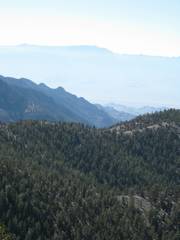
View SSW on descent off ridge; Spring Mts in distance |
More descent, Spring Mts in distance. |
|
|
|
|
|
Canyon is tight. Ron and Nick had moved a log down here to help with footing. |
By 3 PM, it was so dark my camera Would set the flash. |
Finally we head WNW across the multiple washes. |
|
|
|
|
|
|
|
|
|
|
|
|
*The