|
|
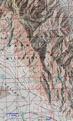
A 100k topo of the route, with the GPS trace. |
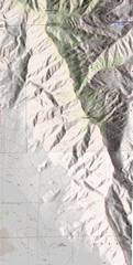
24k topo of most of the route. |
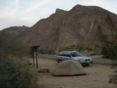
I camped at the Borrego Springs state campground NW of town. This would be a great group campsite (meant for 8 people), but it was clearly overkill for me, as one can camp for free at one of the primitive campgrounds, or just pull off the road in the desert. However, the showers and clean flush restrooms were a nice touch! |
|
|
|
|
|
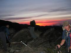
About 6:15 AM next morn. |
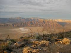
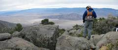
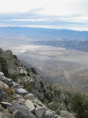
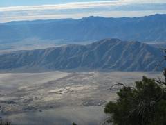
Soon the sun lights up the Anza Borrego and |
|
|
|
|
|
|
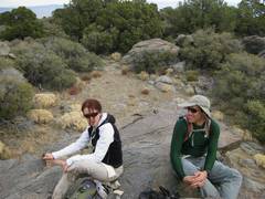
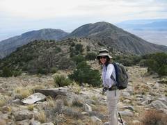
Dagmar and Michael. |
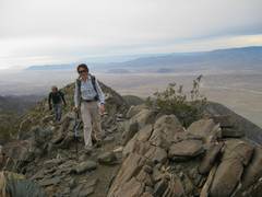
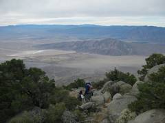
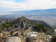
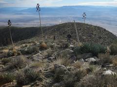
N of Villager Peak, we head over many, many lumps to Rabbit (the ridge in back). |
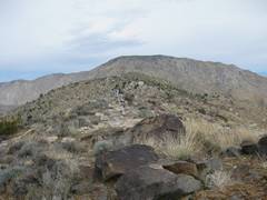
View N from the top of Rabbit. |
|
|
|
|
|
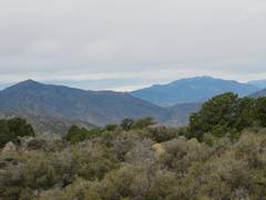
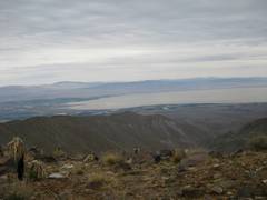
View W from top. |
|
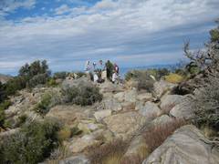
Dagmar and Michael on top. The top is actually a pinyon-covered plateau; best views are from the high rocks on the side. We were so intent on getting back before dark, that we stayed less than 15 minutes. |
|
|
|
|
|
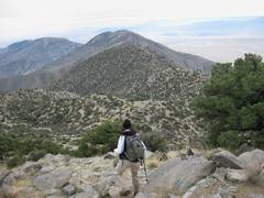
Michael, as we descend SW. |
|
Oops, went off the top a little to far N. This was the source of most of my scratches! |
|
|
|
|
|
Dagmar looks S to Villager. Gee, it doesn’t look like there are 10 lumps in between! |
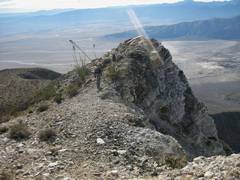
The W side of the peak is quite steep. |
One lump closer to Villager! |
|
|
|
|
|
Stinky |
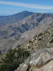
View back N to Toro (?). |
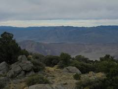
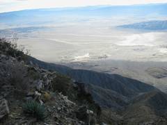
View W from Villager. |
|
|
|
|
|
We met a pleasant group of 5-6 on Villager. |
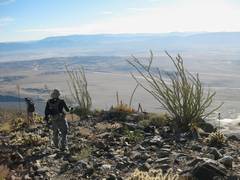
Heading S from Villager. |
|
|
|
|
|
|
|
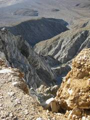
The W side of the ridge drops off… |
Precipitously! This canyon is rough and steep for ~3000’. |
|
|
|
|
|
|
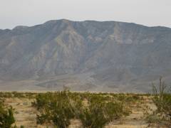
The next morn, as I drove back home, I took this pic of the E side of the ridge; the dominant peak is Villager, with Rabbit to L, rising about 6000’ above the playa. |
|
|
|
|
|