|
|
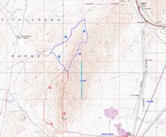
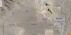
24k map with gps traces (red for S ridge). See map near page bottom for access info. |
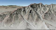
Google Earth synthetic view from E. |
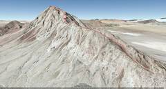
Google Earth synthetic view from SW. |
|
|
|
|
|
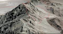
Google Earth synthetic view from N. |
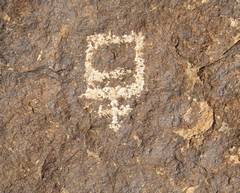
Glyph. I doubt this is Amerind, but I wonder who made it, high up the entrance valley. |
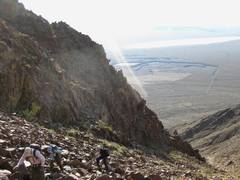
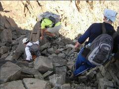
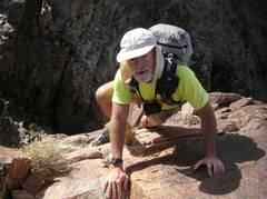
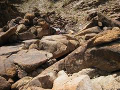
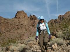
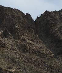
Heading up the 1st talus valley. The rock was remarkably stable. |
|
|
|
|
|
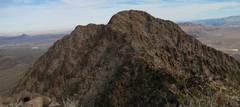
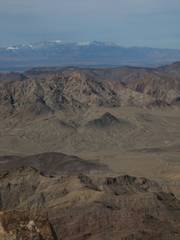
Black Mt to NW. |
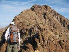
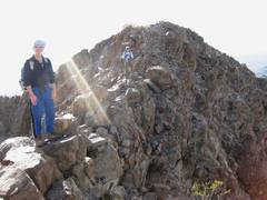
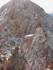
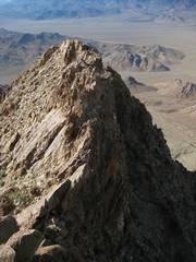
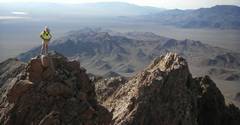
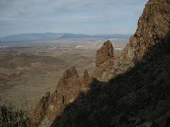
The visible ridge is just the 3950’ shoulder S of the true summit. |
Come to the light Luba, come to the light! |
|
|
|
|
|
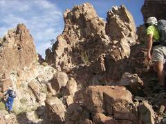
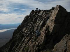
Staying on the ridge was not easy; and often the downclimb was blocked by cliffs. |
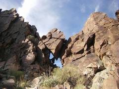
Right before the hairiest spot was this window. |
|
|
|
|
|
|
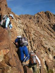
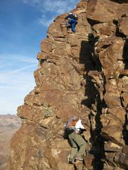
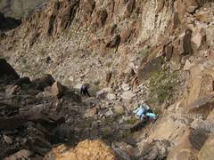
Props to Bill for checking this out. You can’t see the freaky exposure to his L- a gash that dropped down another 50-100’. |
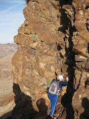
It looked super freaky, but the rock was good, and the holds plentiful. What I thought was loose rock, was actually pretty good. Still, because of exposure I’d call it class 4, and none of us wanted to come back this way. |
Luba asked me to wait as I popped over the edge (above where Bill is in previous picture). I started to make a face, and she firmly said “no.” In retrospect some of the holds were a bit “thin” – like the crack my L fingers are in. |
|
|
|
|
|
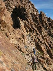
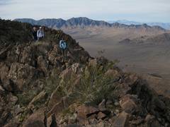
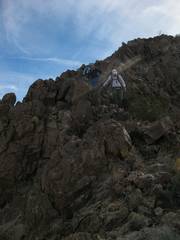
The ridge was ever full of rough stuff and surprises. |
For a few spells, I thought I could walk along the very knife edge, then would be faced with blocks about 20’ high, often separated by 10-20’. |
After admitting defeat on the edge, I climbed back down to catch up with the other folk. |
|
|
|
|
|
|
|
Another view S at the yucky serrated-knife edge. |
|
|
|
|
|
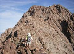
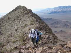
Finally we climb out of the gully we saw long before, to almost easy ground. |
|
Now the top is in view! It still wasn’t totally benign travel. |
|
|
|
|
|
|
|
|
|
|
|
|
|
|
|
|
|
|
|
|
|
|
|
Black Mt in Back. |
|
|
|
|
|
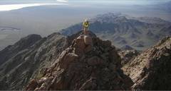
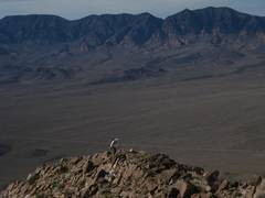
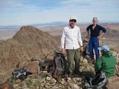
The top! We forgot to sign into the register book! |
Now we head down over 2+ terrain. |
|
|
|
|
|
|
|
Now we’re looking W, at the hairiest spot on the ridge. You can see the “window” that Luba photographed, and the nasty exposure beneath the L side of the photograph of Bill and Ed on the gendarme. |
Access—as
far as I can tell from the |
|
|
|
|