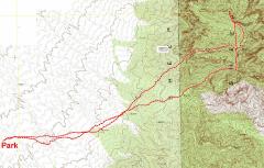
GPS trace. Took northern route up valley on W side of mountain; descent, via valley on S side, was very brushy. |
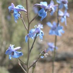
Larkspurs. |
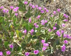
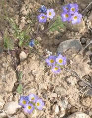
Desert four o'clocks. |
|
|
|
|
|
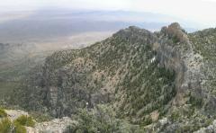
View E toward Ram Peak. The pink line shows ascent route, blue shows descent. Indian paintbrush in foreground. |
View over larkspurs and mallows. |
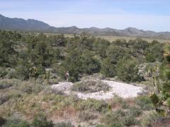
Roasting pit used by Native Americans. |
|
|
|
|
|
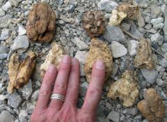
Mysterious plant remnants from fire-blackened cave near roasting pit. Agave fruit pits? Pack rat residua? |
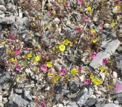
Monkeyflowers; Bigelow (pink) and Parry (yellow). |
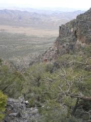
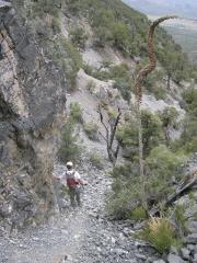
View W as Nick comes up steep valley. |
|
|
|
|
|
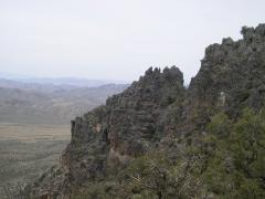
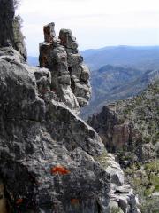
Rough ridge on N side of ascent velley |
Looking N from south rim of mountain; N Ram is at center of photo. |
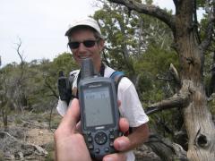
At USGS benchmark site. |
|
|
|
|
|
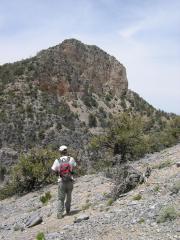
Heading N to N Ram Peak. |
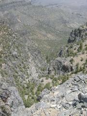
Looking E down canyon on E side -- no way to capture hugeness of view! |
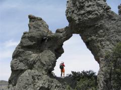
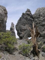
Natural arch (Archalopolis). |
|
|
|
|
|
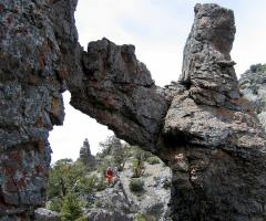
Archie More. |
Archaeopteryx. |
|
|
|
|
|
|
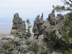
Windows X-P(inyon). |
View SE from top of N Ram Peak; Arrow Range in distance. |
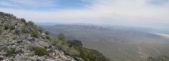
View roughly W; Dry Lake is to right. |
|
|
|
|
|
Looking roughly ENE; Mormon Peak and Moapa Peak in distance. |
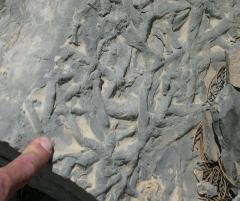
Bioturbation fossils ("worm tracks"). |
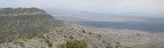
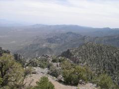
View S during descent from South Ram. |
|
|
|
|
|
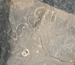
Snail fossils in cross-section. |
Looking E down descent valley. There is a very obvious fault line, with spectacular slivers of fault breccia at top of valley, brown layers silty limestone on S, and gray masssive limestone on N. |
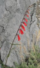
Utah penstemon. |
|
|
|
|
|
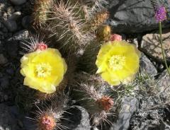
Prickly pear. |
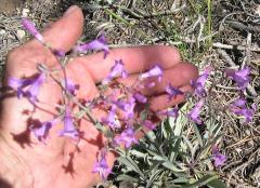
Purple penstemon. |
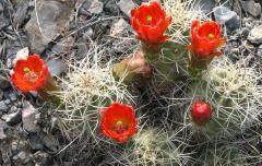
Claret cups. |
|
|
|
|
|
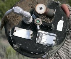
Mysterious safety valve -- part of plane or other aerospace garbage? |
Fremont phacelia. |
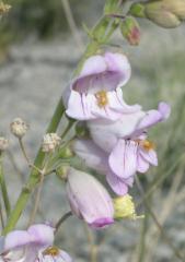
Palmer's penstemon. |
|
|
|
|