Rainbow Wall from Oak Creek Canyon

Harlan W. Stockman
Oct 29, 2005

Here is a view of the peaks as one approaches Juniper Creek.

More on the nomenclature is here.

Click any small image below to see the larger image.

maprw

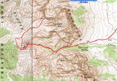
GPS trace. See below for GPS files.

DSC03628

DSC03629


DSC03634

DSC03636

DSC03638


DSC03640

DSC03645

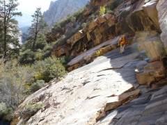
View W as Ali traverses on the N side of 6650' lump.

DSC03646

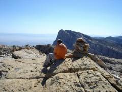
View S toward Mt Wilson.


DSC03650

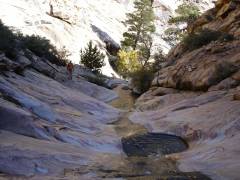
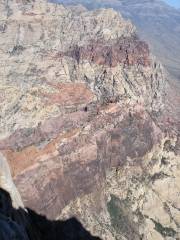
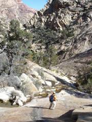
Looking NW into Juniper Creek.

DSC03657

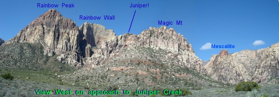
View N of Juniper Peak, Mescalito, and Bridge Point.

DSC03661


DSC03662

DSC03666

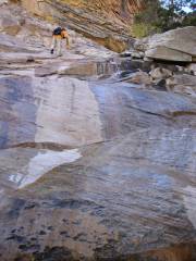
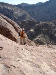
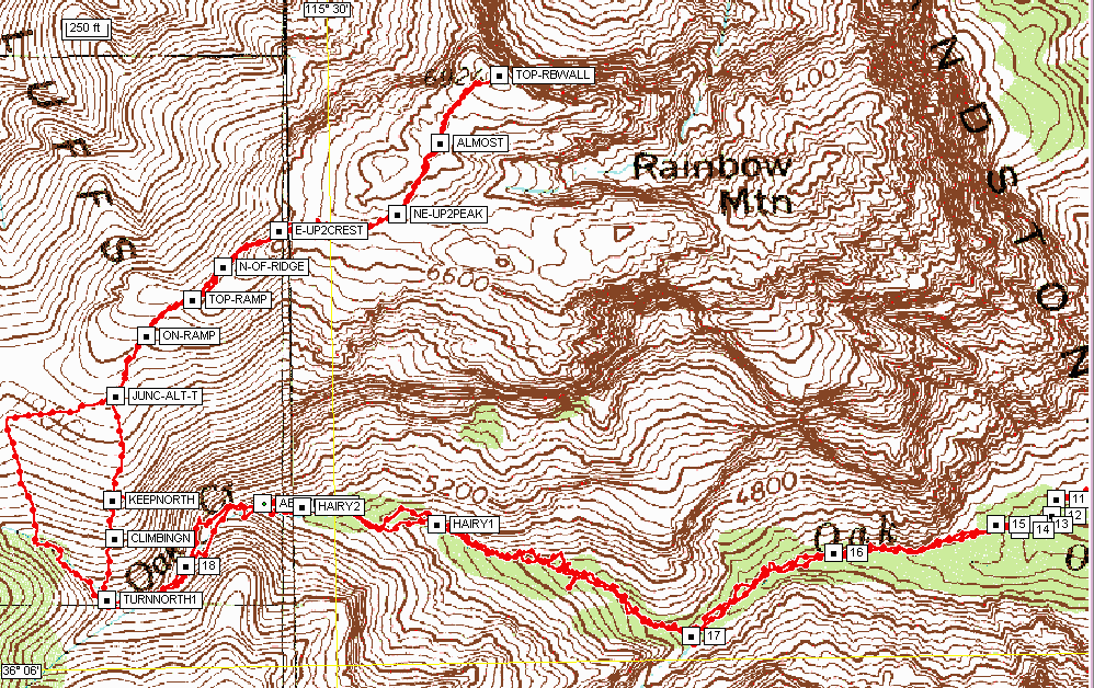
At top of Red Ramp, view S, heading down.

DSC03669

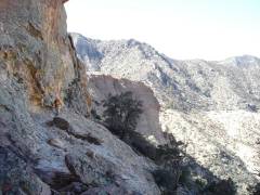
View E, at W end of Oak Creek.


DSC03671

One of the "Hairy" GPS waypoints.

DSC03675


USE THESE GPS FILES AT YOUR OWN RISK.

Here is a Maptech format WAYPOINT file relative to WGS84 datum. The same in comma-separated text is here.

Here is a map to show some of the waypoints.

You can upload the data files to your GPS with free programs like G7toWin.