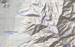
 Here's the map of my route. The last traverse to Pahrump Point may involve some rope work. |
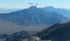 These are the peaks as seen from Stewart Point across the valley. PP is the DPS Pahrump Point. |
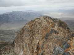
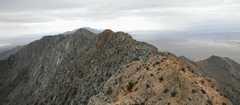
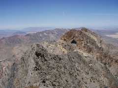 ...and here's a view of "Rumppah" from Pahrump Point, view N. It would likely be easier to traverse N. |
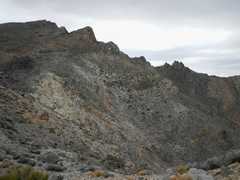
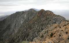
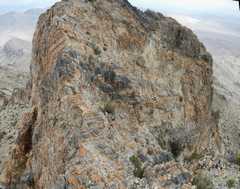
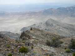
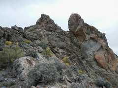
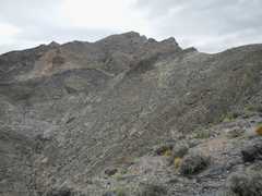 First view of the pre-peaks-- actual summit is behond these lumps. |
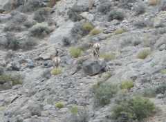 As I crested the ridge, two bighorns ran away. |
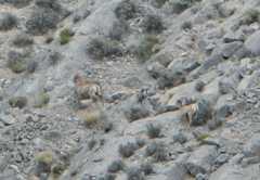 More of the bighorns. |
 |
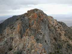
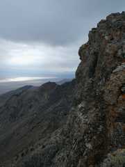
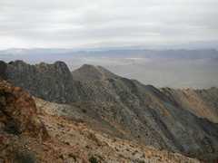 View S over the normal route up Pahrump Point. |
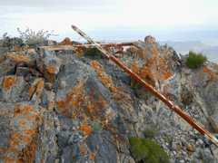
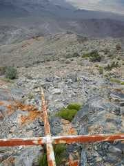 On the last class 1-2 section I found this cross welded out of square steel tube. Why didn't they carry it to the true top? |
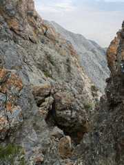
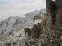
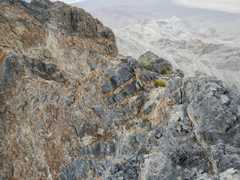
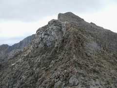
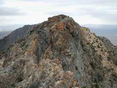 Well. it's not obvious in this photo (where all rock blends together) but there are two attention-getting knife-edges along the way to Rumppah. |
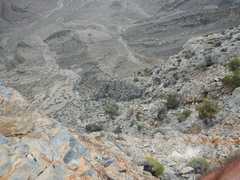 I'm looking E over one downclimb (I later found a way around this). It's perhaps not obvious, but you could fall about 500' here. |
 View S across next knife. |
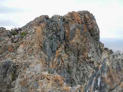
 View back N to the peak with the cross. |
 View S. I later climbed down from here, but ran into a cliff. |
 View back over N peak (where cross is located, out of view). |
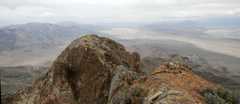
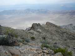
 View S to DPS Pahrump Point. |
 A wider view. |
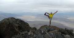 View N, didn't have time to stretch. |
 I climbed down to west, ended up over a cliff. The cold rain kept me from more exploration. |
 Climb back up to N. |
 Over the edge again -- it all blends in for the photo. |
 The N-most peaklet. |
 View back to S (higher) peak. |
 The cross again. |
 Now I head N on the ridge, intending to try a canyon descent. |
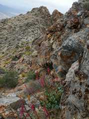
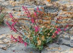 Penstemon. |
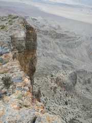 The east side is an immense cliff. |
 |
 View back S. |
 |
 |
 View back S. |
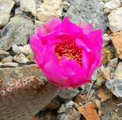 Beavertail cactus flower. |
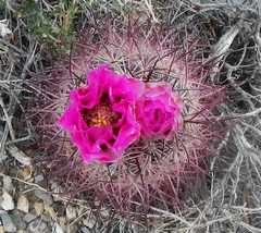 Barrel cactus flower. |
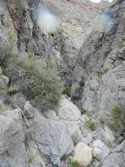 Sorry for the drops on lense-- rain is more intense. |
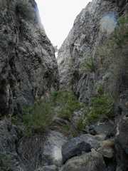 |
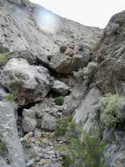
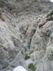 After this easy dryfall. I hit a 30-50' dryfall with no easy downclimb, so I turned around. |
 |
|